Secret Found...
Color Mason The Moose!

CLOSE
CLOSE

GAME SETTINGS game settings icon

Find It! New Hampshire Geography

All the resources that appear in this unit are gathered here for you—the photographs, maps, objects, audiovisuals, documents, videos, biographies, and vocabulary words. Click on the image below to see a larger view of each resource with more information about each one. On some of the resources you can even zoom in and get a closer look. So go ahead, dive in, and explore. Before you know it, you’ll be thinking like a historian.
Mason looking though binoculars

Find It! Scavenger Hunt

Can you help Mason find these items on the page and answer the questions?

Audiovisuals in this Unit:

Mason Presents: Lake Winnipesaukee
Mason Presents: Maple Syrup
Mason Presents: Mount Monadnock
A colored lithograph of people caught in the middle of a storm on rugged terrain. The wind of the storm is pushing everything in its path to the right. There are two buildings in the background and an American flag on a flag pole in the right-hand corner.
Mason Presents: Mount Washington
Mason Presents: The Hurricane of 1938
Mason Presents: Wind on Mount Washington
Mason Presents: WMUR's Kevin Skarupa on Flooding in New Hampshire
Mason Presents: WMUR's Kevin Skarupa on the Blizzard of 1978

Documents in this Unit:

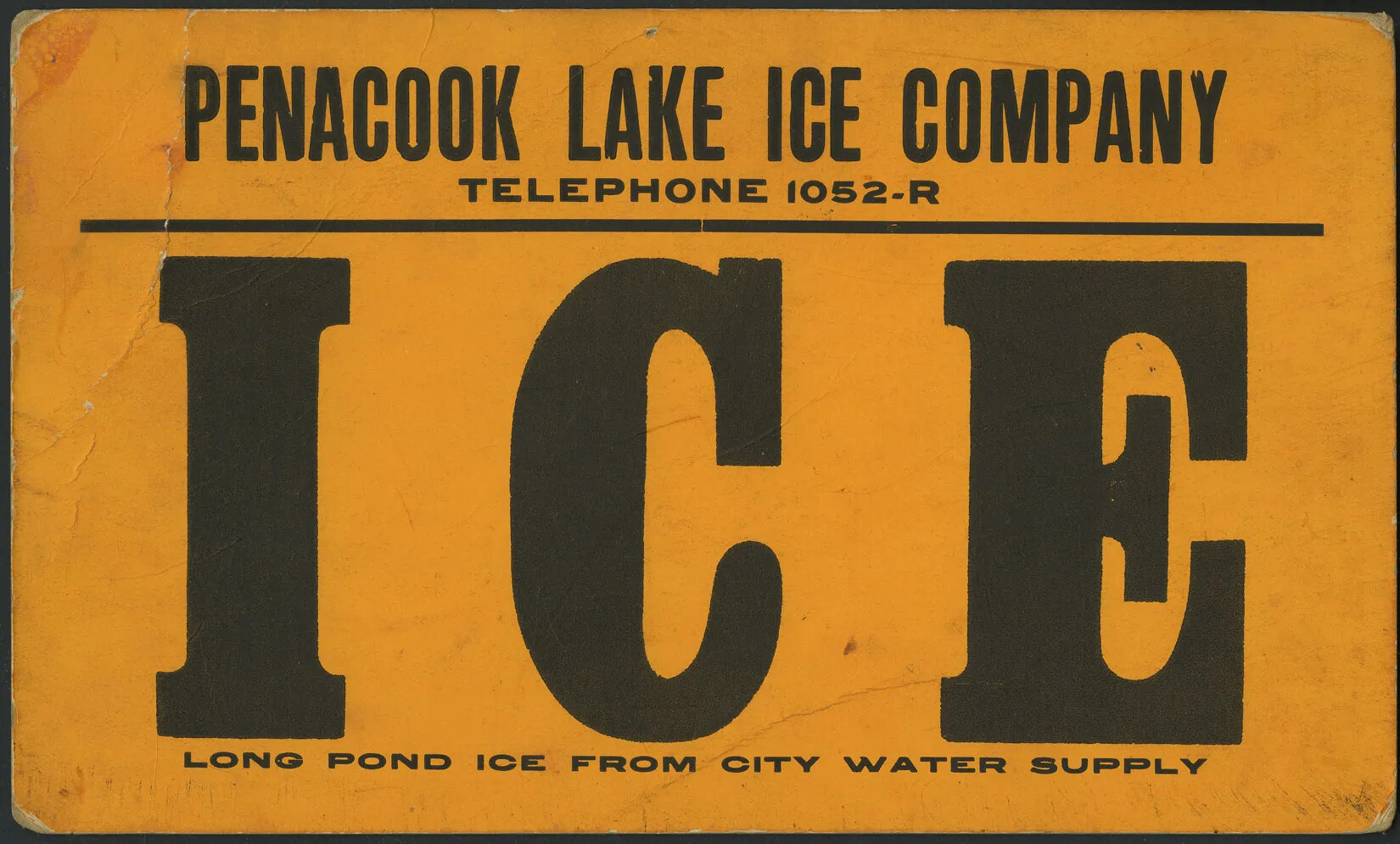
An orange, horizontal poster with large black text. The text reads: "PENACOOK LAKE ICE COMPANY/TELEPHONE 1052-R/ICE/LONG POND ICE FROM CITY WATER SUPPLY."
Penacook Lake Ice Company
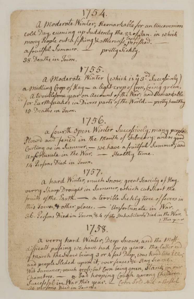
A browning vertical piece of paper with text handwritten in black ink. The text is written in cursive handwriting, and is broken up into five paragraphs, each with a designated year; from top to bottom: 1754, 1755, 1756, 1757, 1758.
Samuel Lane's Weather Journal, 1754–1758
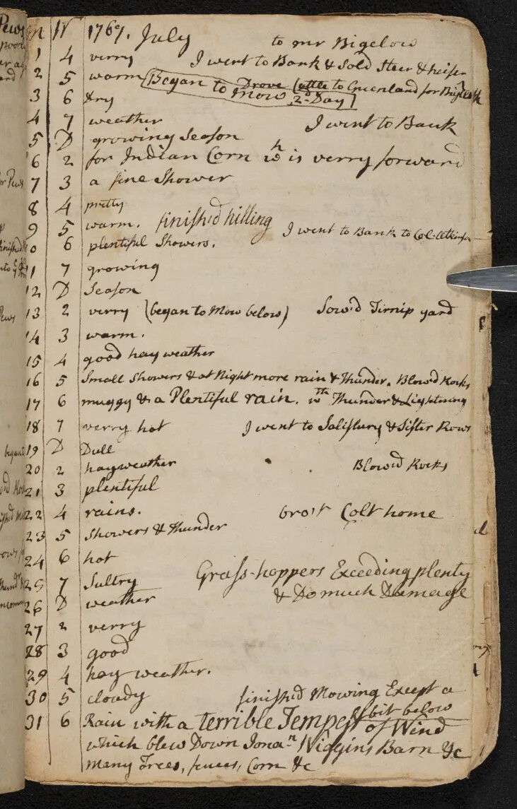
A browning vertical piece of paper with text handwritten in black ink. The text is written in cursive handwriting, and is divided into three columns: two columns of numbers and one column of text.
Samuel Lane's Weather Journal, July 1767

Explainer Videos and Virtual Field Trips in this Unit:

Mason Explains: Glaciers in New Hampshire
Mason Explains: The Regions of New Hampshire
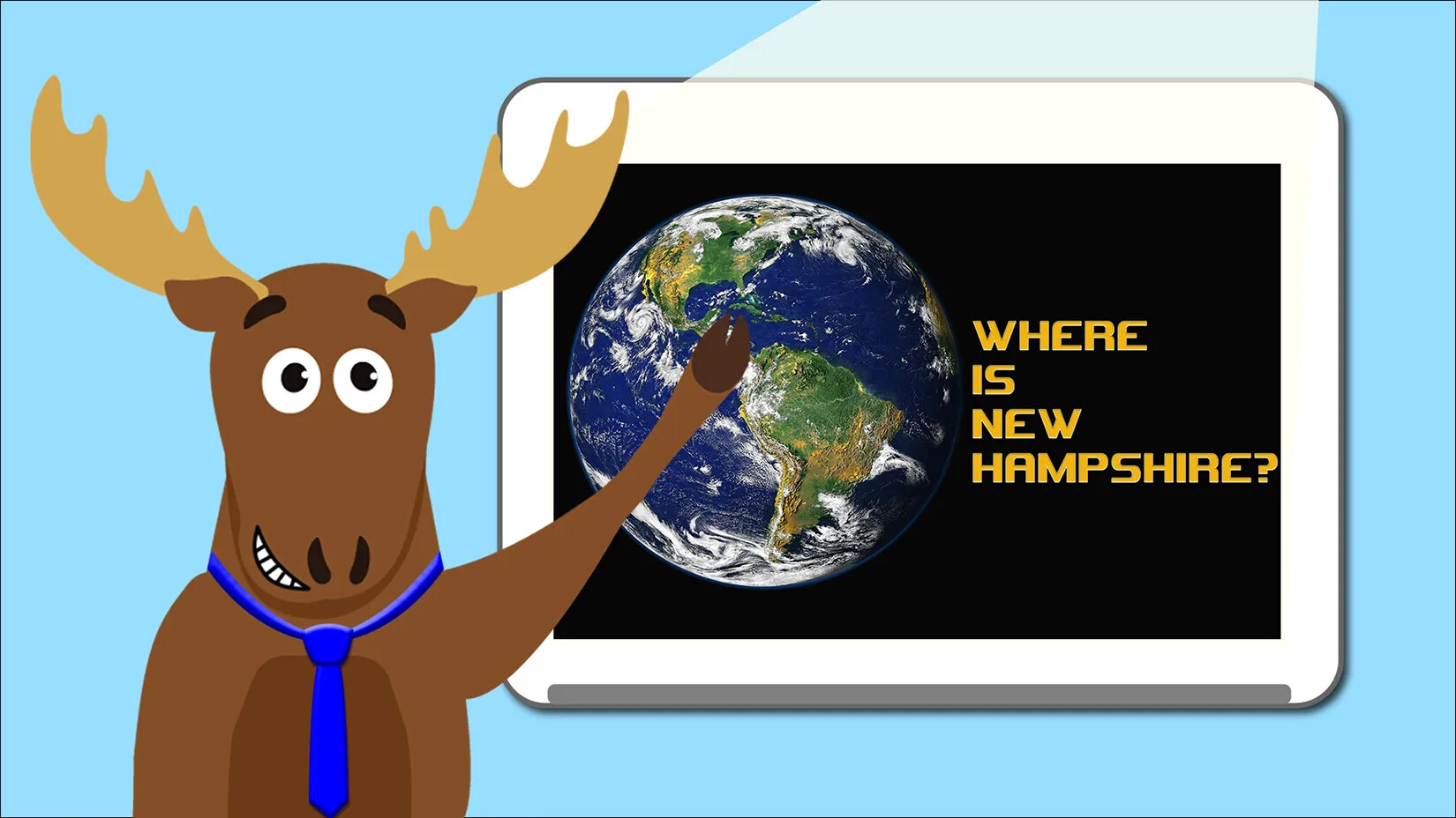
Mason Explains: Where Is New Hampshire?
Virtual Field Trip: New Hampshire Rocks!

Maps & Charts in this Unit:

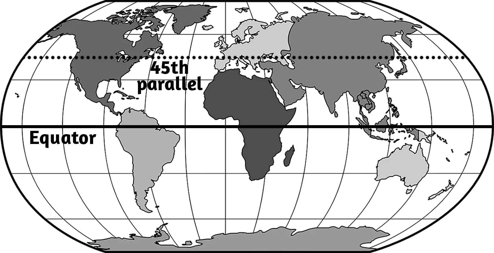
A black and white horizontal map of the Earth, with a line marked "Equator" dividing the map horizontally in half. Between the Equator line and the top of the map, there is a dotted line marked "45th parallel."
45th Parallel
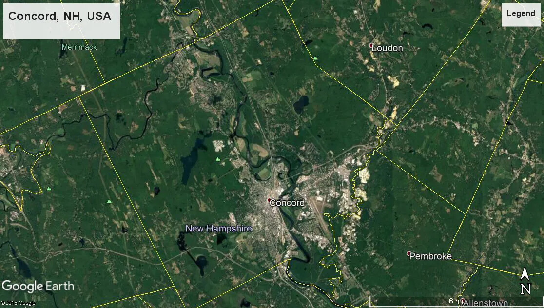
A colored birds-eye view map of Concord, NH, as well as parts of Loudon and Pembroke from Google Earth. The center of the image shows a large number of gray colored buildings congested in a small space, and the rest of the map is green. The boundaries of each of the towns are outlined in yellow.
Bird's-Eye View of Concord
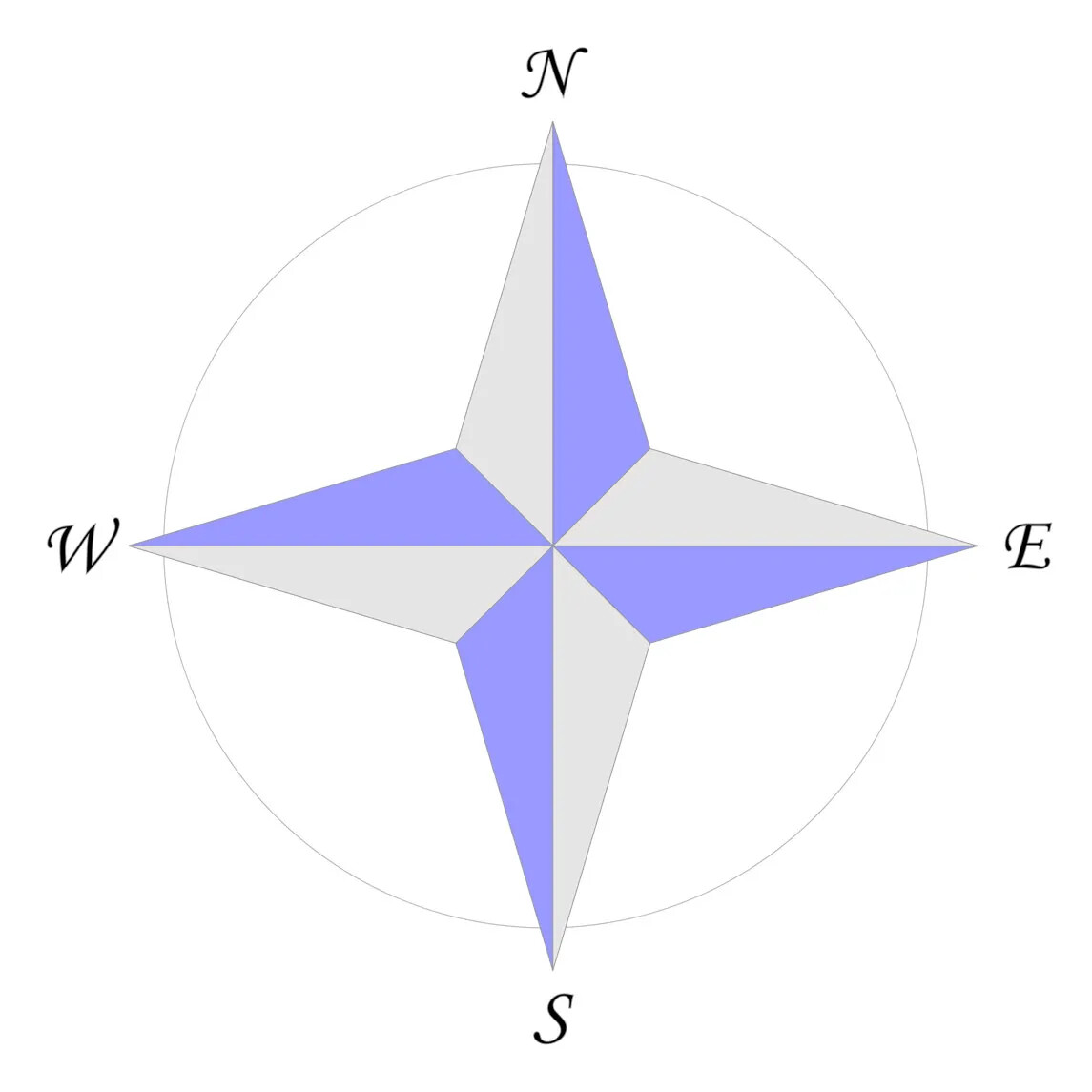
A four-pointed star in alternating gray and gray-blue triangles. At each point, the letters “N/E/S/W” are listed clockwise. Connecting the points is a thin and faded gray circle.
Cardinal Directions
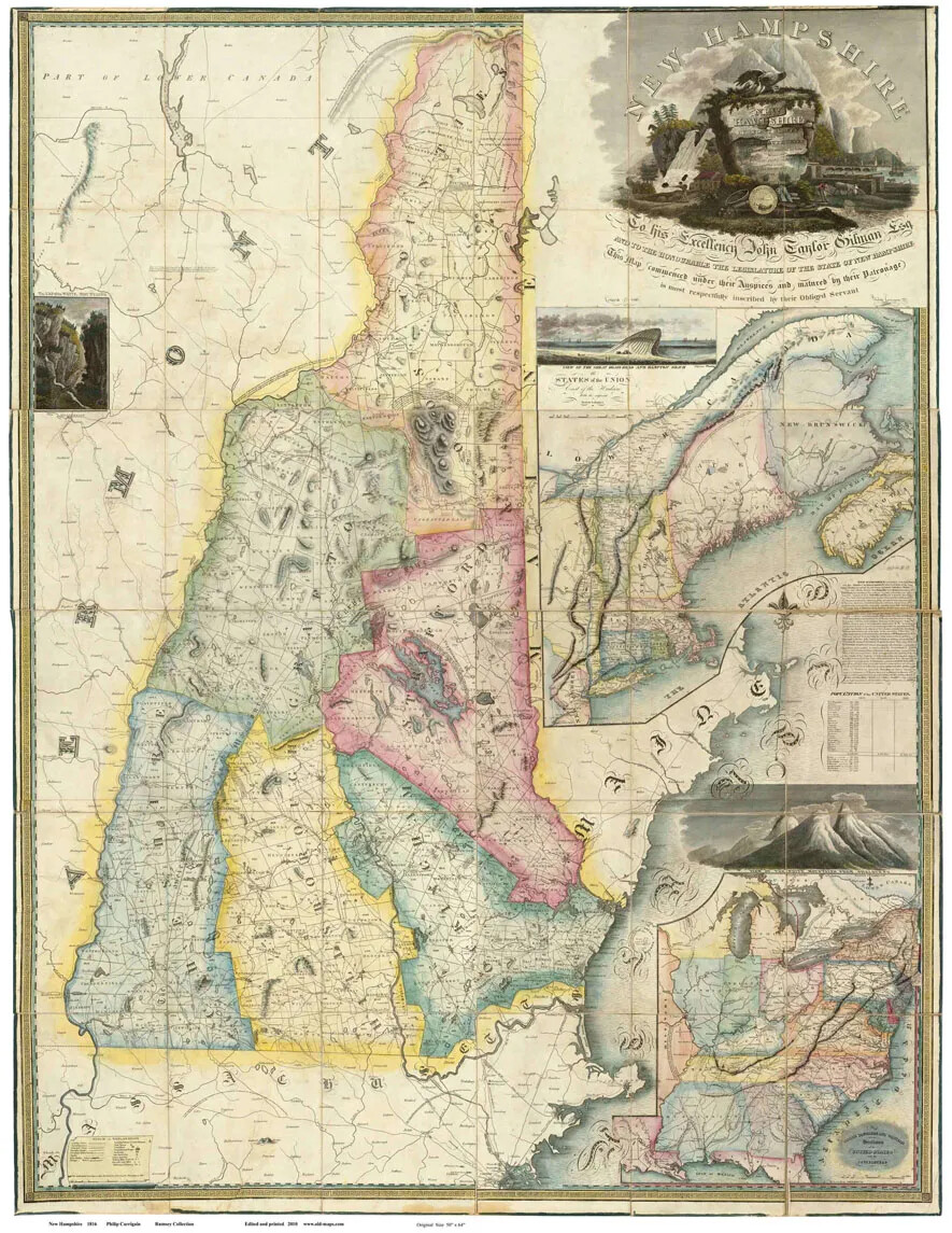
In this historic map of New Hampshire, the seven counties of New Hampshire are different colors and labeled. On the state's borders, Lower Canada, Massachusetts, Maine, and Vermont are labeled. All towns are outlined, and some are labeled. Rivers and bodies of water are noted. The title "Map of the State of New-Hampshire" is in the upper left corner; the words circle a drawing of the sun rising over a water scene.
Carrigain Map of New Hampshire
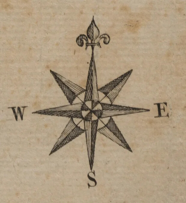
An eight pointed star in alternating faded black and gray triangles. At the center of the star are two circles overlapping each other, one larger, in white, and the other much smaller, with four black and four white triangles placed inside. Surrounding the star are the letters, moving counter-clockwise, “S”, E”, and “W”, and at the right-most point are three tear-drop shapes. The one in the center points to the right and the other two curve away from it on either side.
Compass Rose
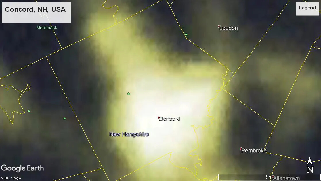
A colored screenshot of Concord, NH from Google Earth. This image shows the town boundaries, in yellow, of Concord, and parts of Loudon and Pembroke. The town boundaries of other towns, though nameless, are also showcased. Parts of Concord are colored a bright yellow, while the upper edges, as well as parts of Loudon and Pembroke, remain a greenish-black.
Concord at Night
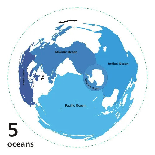
A colored map of the world's oceans. Each of the five oceans are colored in different shades of blue.
Earth's Five Oceans
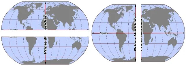
Two colored oval maps of the world. The continents are colored in a dark gray, and the ocean is a light shade of blue and gray. Drawn horizontally and vertically across the middle of the map are two thick red line ending in black arrowheads. The horizontal line is labeled “Equator” in small black lettering, and the vertical line is labeled “Prime-Meridian” in large black letters. There is a large white line drawn horizontally across the map on the left, and a large white line drawn vertically across the map on the right.
Earth's Hemispheres
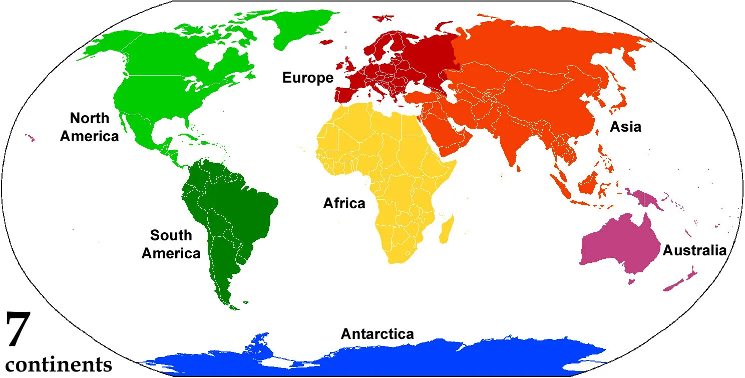
A colored map of the world. The countries in each of the seven continents are outlined in white. Each continent is a different color: North American is light green, South America is dark green, Europe is red, Asia is orange, Africa is yellow, Antarctica is blue, and Australia is purple. The ocean’s in between the continents is white. Beside each of the continents is labeled, from left to right “North America/South America/Antarctica/Europe/Africa/Asia/Australia”. The text in the bottom left corner reads “7/continents”.
Earth's Seven Continents
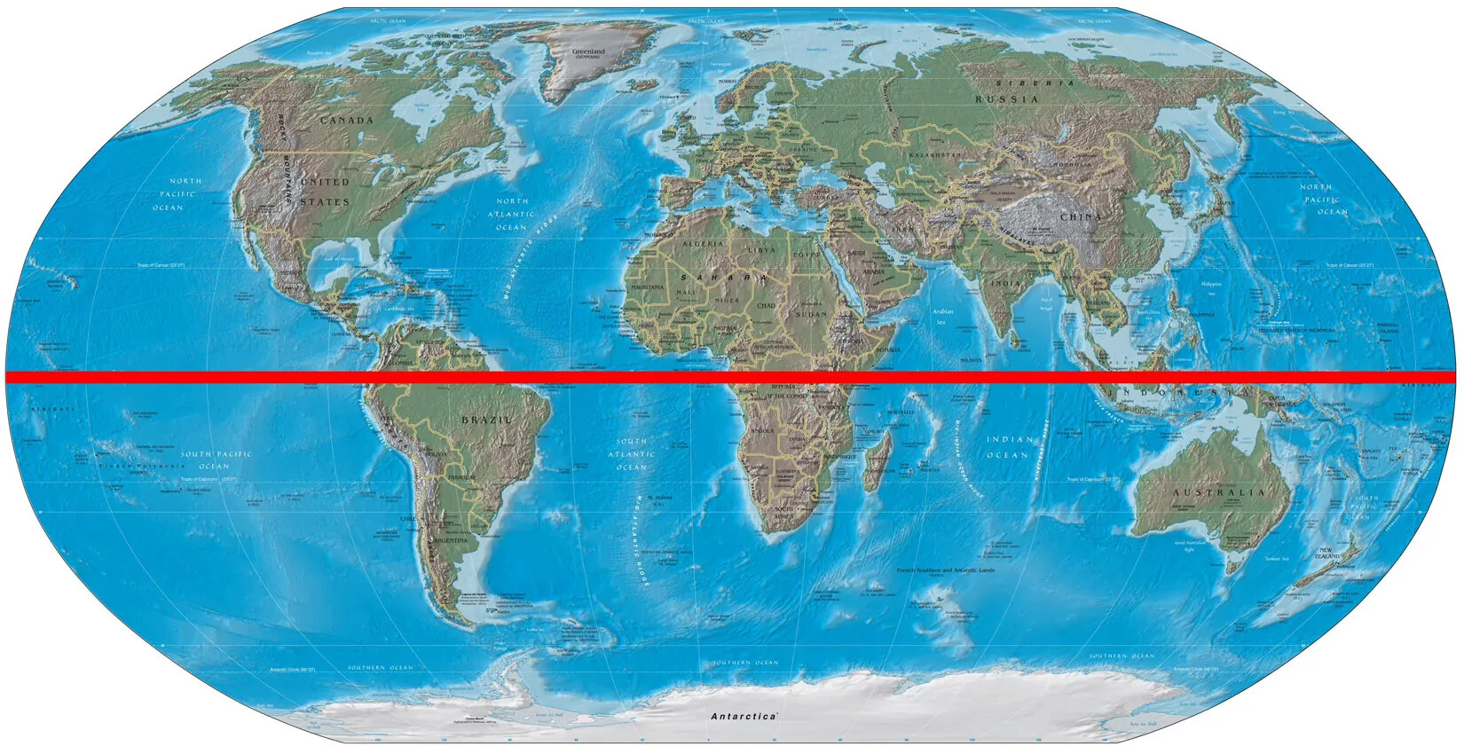
A colored oval map of the seven continents of the world. The ocean is blue, and the continents are shades of green and brown. The countries in each of the seven continents are outlined in white. Drawn horizontally through the middle of the map is a thick red line.
Equator
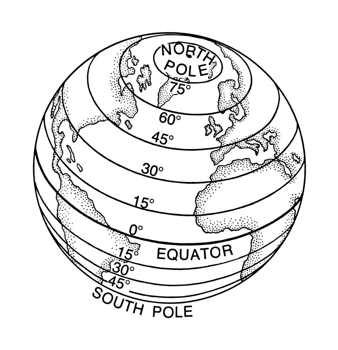
A black and white circular map of the world. On the map are loose sketches of North America, South America, Europe, and Africa. Drawn on top of these sketches are eight horizontal circular lines and one full circle. Text written on each of these lines reads, from top to bottom, “NORTH/POLE/75°/60°/45°/30°/15°/0°/EQUATOR/15°/30°/45°/SOUTH POLE”.
Latitude
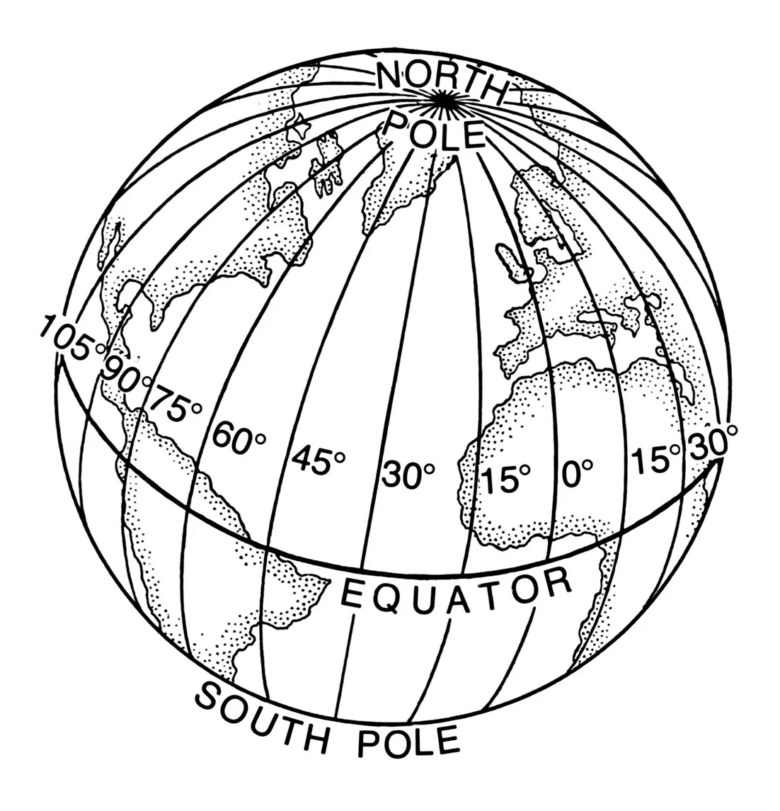
A black and white circular map of the world. On the map are loose sketches of North America, South America, Europe, and Africa. Drawn on top of these sketches are about 20 circular lines drawn vertically, all descending from a central point on top of the map, labeled “NORTH/POLE”. Text written on each of these lines reads, from left to right, 105°/90°/75°/60°/45°/30°/15°/0°/15°/30°”. Drawn around the center of the map is a horizontal circular line, labeled “EQUATOR”. The words “SOUTH POLE” indicates the bottom edge of the map.
Longitude
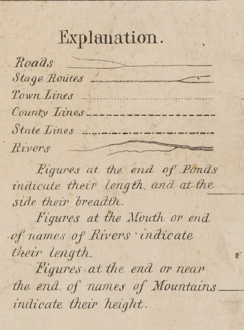
An excerpt from an old document showcasing black text on aged white paper. The title reads “Explanation”, and below it, a series of lines are drawn in different styles. To the left of these lines are the following words in descending order: “Roads”, “Stage Routes”, “Town Lines”, “County Lines”, “Rivers”. Directly beneath this is another block of text, reading “Figures at the end of Ponds/indicate their length and at the/side their breadth./Figures at the Mouth or end/of names of Rivers indicate/their length./Figures at the end or near/the end of names of Mountains/indicate their height”.
Map Key
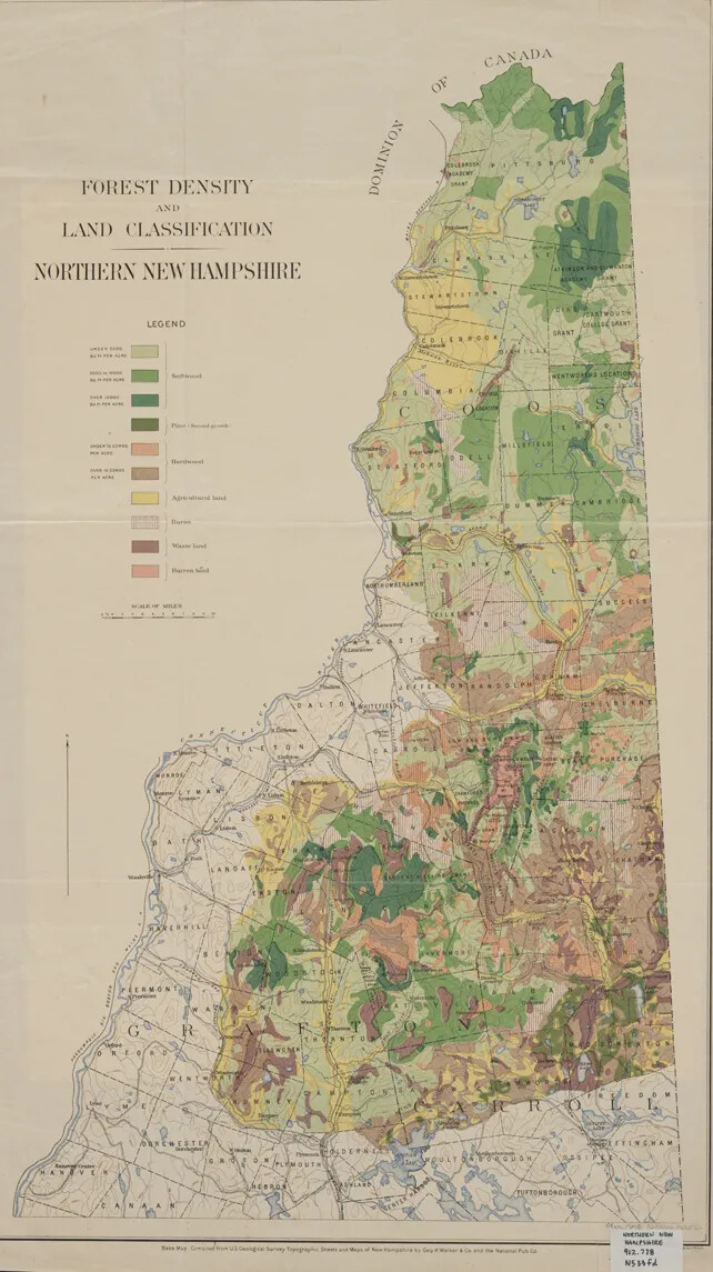
A vertical map of New Hampshire. Sections of the state are highlighted in different colors. The colors vary from different shades of red, yellow, brown, and green. To the left of the state is the title of the map, which reads "FOREST DENSITY/AND/LAND CLASSIFICATION/NORTHERN NEW HAMPSHIRE." Beneath the title is a map legend, which shows small boxes in a vertical line of all of the different colors represented on the map. To the right and left of each box is black text typed in small font.
Map of Forest Density in New Hampshire
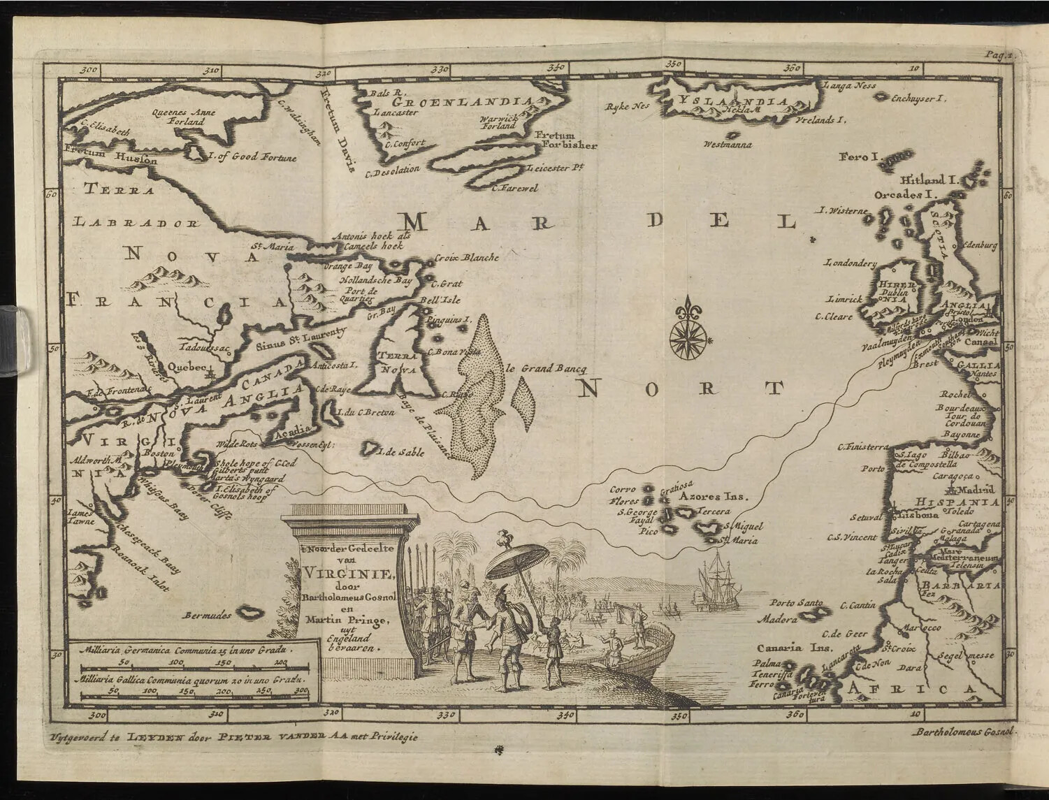
A black and white horizontal map of pieces of land and a body of water. The typed, black text on the map is in another language.
Map of Gosnold's 1602 Exploration
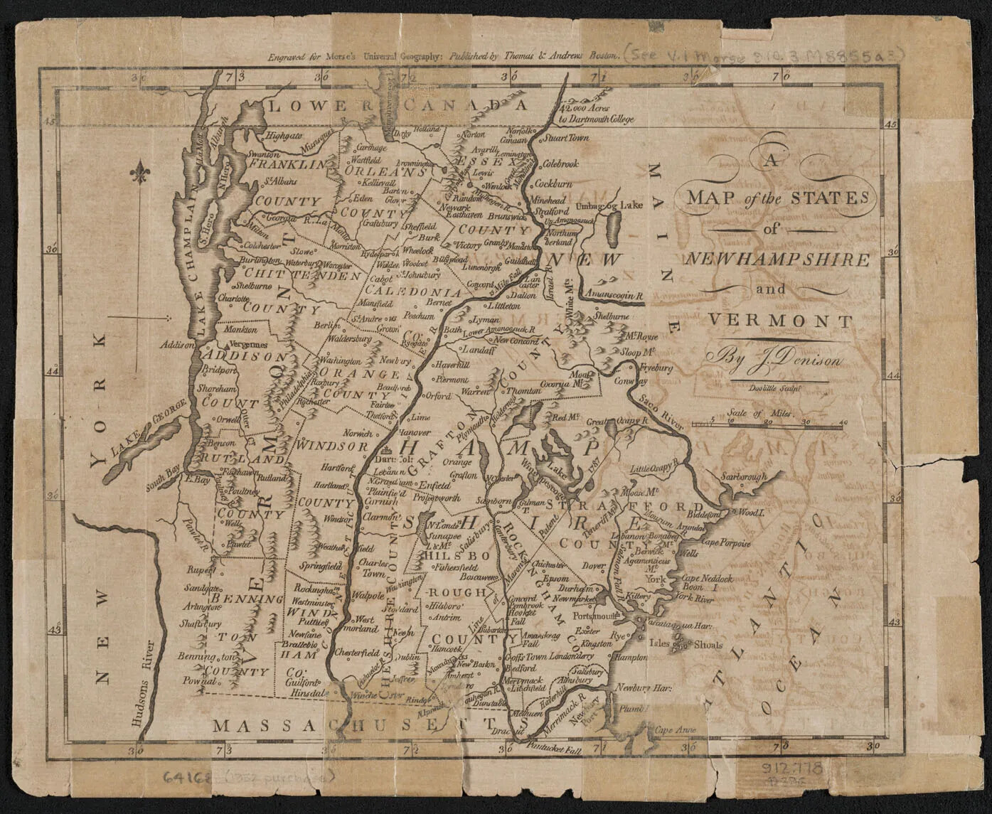
A damaged document of a map showing the borders of towns, a state border, and several lakes and mountain regions. The map has several tears and taped edges around its borders. The title of the map, in the upper right-hand corner, reads "A/MAP of the STATES/of/NEW HAMPSHIRE/and/VERMONT/." Beneath the title is a cursive signature, which reads "J. Denison."
Map of New Hampshire and Vermont, 1796
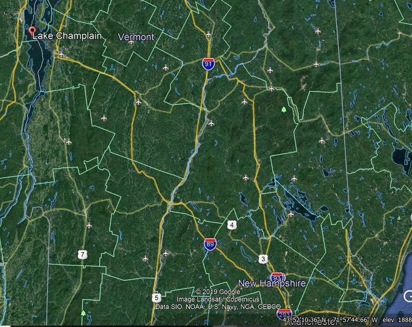
A colored screenshot from GoogleEarth of Vermont and New Hampshire. The majority of the map is dark green, with county and state borders visible in different colored lines. Several highways and routes are also marked on the map.
Map of New Hampshire and Vermont, 2019
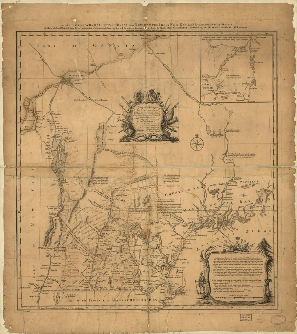
A historic map shows the province of New Hampshire. The borders of the provinces surrounding New Hampshire are noted, as well as part of Canada. The map is quite detailed, with rivers, bodies of water, and towns labeled. There are additional comments on the map of a local nature, for instance noting the path Lieut. Stark took while kidnapped by Native Americans. Two elaborately bordered notes tell of of the province of New Hampshire and the dedication of the map to "the Right Honourable Charles Townshend, His Majesty's Secretary of War." An inset detail in the upper right corner of the map shows the area around Montreal.
Map of New Hampshire, 1761
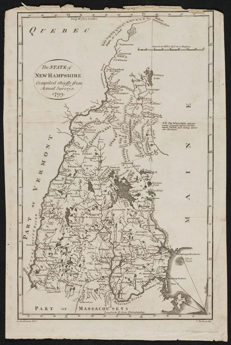
A black and white map is shown titled "The State of New Hampshire Compiled chiefly from Actual Surveys. 1799." The paper is frayed around the edges, and the map is framed by a border of longitude and latitude markings. "Part of Vermont," "Part of Massachusets," "Quebec," and "Maine" are marked around the details of New Hampshire state. Rivers, lakes, mountains, and towns are marked. Counties are outlined and labeled.
Map of New Hampshire, 1799
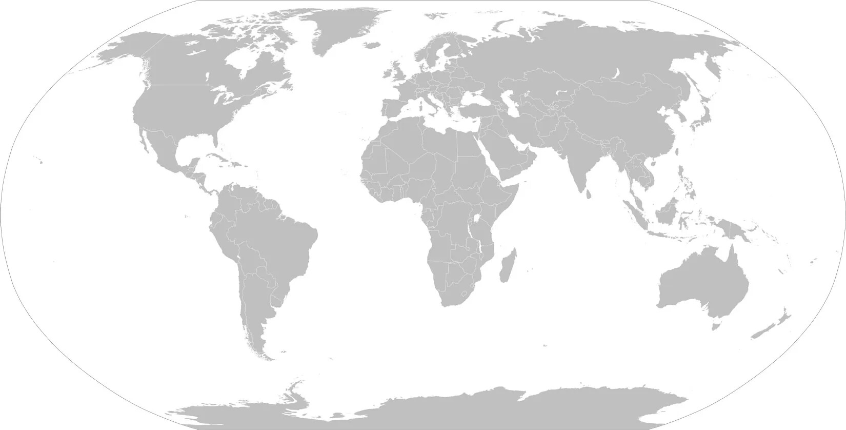
A gray, oval map of the seven continents of the world. The countries in each of these continents are outlined in white. The ocean’s in between the continents is white.
Map of the World
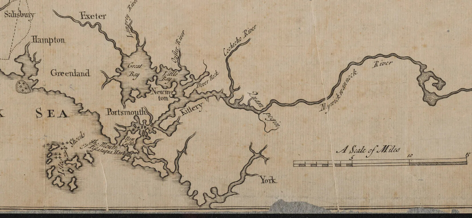
A cropped image of black text on aged white paper. The title reads “A Scale of Miles”, and below it, a long and thin rectangle with a line dividing the rectangle down the middle horizontally. The rectangle is further divided into three vertical sections. The first third has five small vertical lines placed evenly across, and below each line is a small black box. Above the fifth line is the number “5”. The second third is left blank, except for the dividing line drawn horizontally across the middle. In the final third, the numbers “10” and “15” bookend the section, and the lower half of the dividing line is colored in completely with black ink.
Map Scale
A colored, up-close screenshot of the United States surrounded by the Atlantic and Pacific Oceans from Google Earth. The land mass and the two oceans are blue. The individual states are outlined in white. Large and small groupings of the color yellow are scattered around the United States. Larger groups of yellow are found towards the East Coast, the Mid-West, and in central and southern California.
Map Showing Human Features
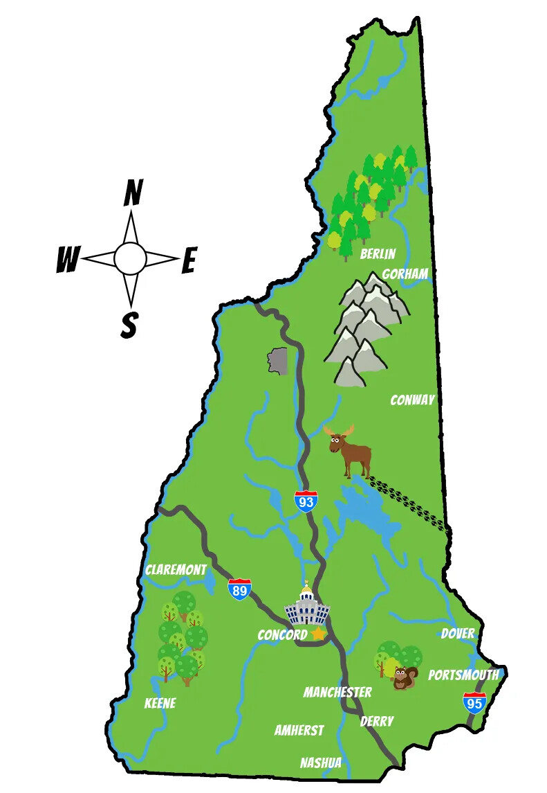
A colored map of New Hampshire. The state is colored in green, and all of the rivers and lakes are blue. Scattered around the state are different illustrations of physical features, such as mountains and trees, as well as a moose and a squirrell. There are also illustrations of the New Hampshire State House, the two major highways that criss-cross through the state, and several town names typed in white text. To the left of the map is a compass rose.
Mason's Map of New Hampshire
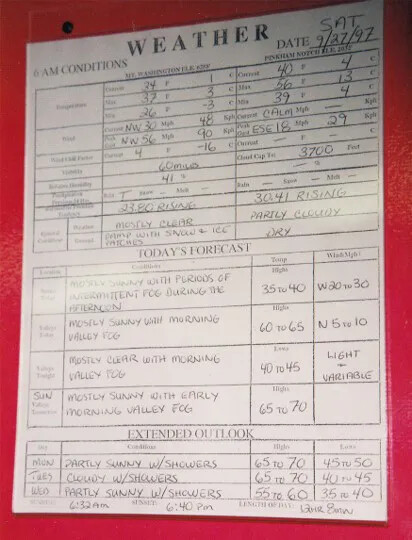
A large white chart with black text that is both typed and hand-written. There are three sections on the chart, each with its own title. In descending order, the titles read "WEATHER/6 AM CONDITIONS DATE SAT/9/27/97"; "TODAY'S FORECAST"; and "EXTENDED OUTLOOK."
Mount Washington Weather Board
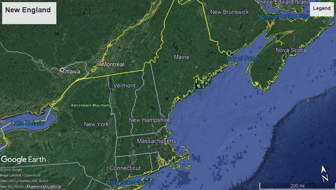
A colored screenshot of the New England states and New York, as well as parts of lower Canada from Google Earth. The land masses are green, outlined in white to separate each state. The coast of the Atlantic Ocean is on the right hand side of the image, in two shades of blue.
New England
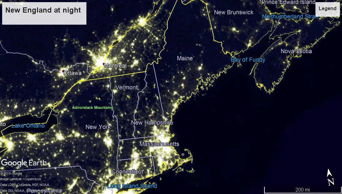
A colored screenshot of the New England states and New York, as well as parts of lower Canada, as represented at night from Google Earth. The states are outlined in white and have their names written inside each state. Different areas of the map show groups of yellow lights, while the rest of the map is black and gray.
New England at Night
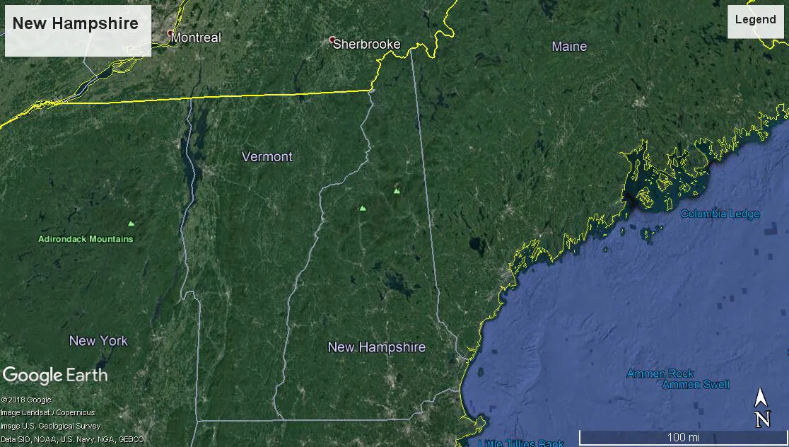
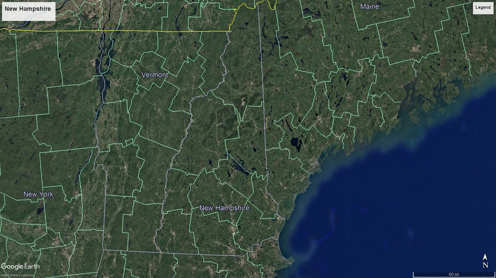
A colored close-up screenshot of Maine, New Hampshire, Vermont, and New York from Google Earth. The land masses are green and the Atlantic Ocean is blue. The Canadian border and the coast of Maine along the Atlantic Ocean are outlined in yellow.
New Hampshire
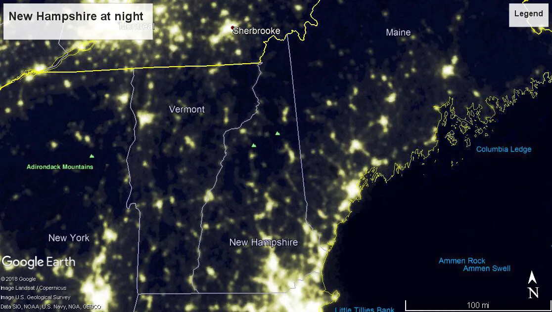
A colored close-up screenshot of Maine, New Hampshire, Vermont, and New York at night from Google Earth. The states are outlined in white. The Canadian border and the coast of Maine on the Atlantic Ocean are outlined in yellow. Groupings of the color yellow are scattered around each state, while the rest of the land mass in each state is black and gray.
New Hampshire at Night
A colored close-up screenshot of Maine, New Hampshire, Vermont, and New York from Google Earth. The land masses are green and the Atlantic Ocean is blue. The states are segmented into large county borders, outlined in light green.
New Hampshire Counties
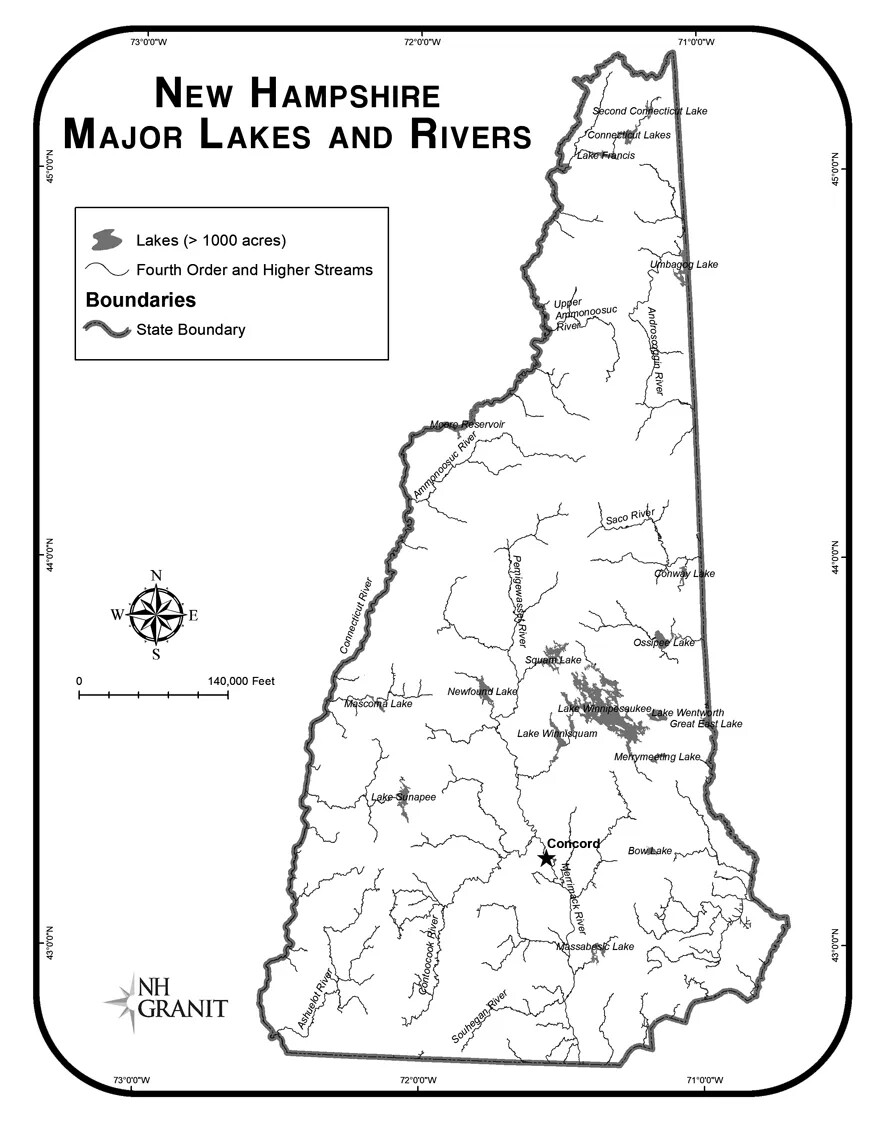
A black and white map of New Hampshire, showing thin and curvy blue lines, large bodies of water, and one location, labeled as "Concord", with a black star marking its location on the map. To the left of the map is a box with the words "Lakes (>1000 acres)/Fourth Order and Higher Streams/BOUNDARIES/State Boundary" typed in black text, placed next to several curvy lines. The title of the map, placed in the upper left-hand corner, reads "New Hampshire Statewide Map Atlas/MAJOR LAKES AND RIVERS." Below the title and box are a compass rose and a horizontal line with little vertical lines placed at even intervals.
New Hampshire Major Lakes and Rivers
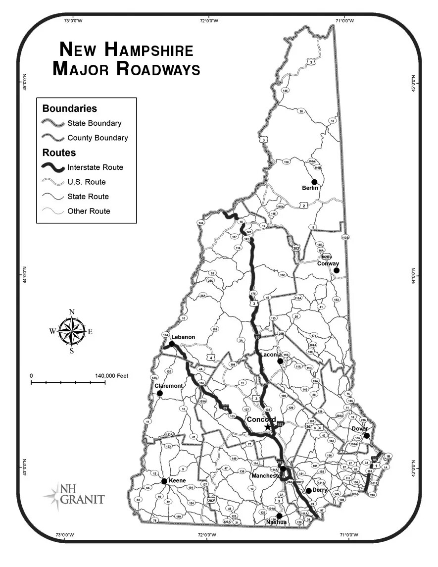
A black and white map of New Hampshire, showing curvy lines of varying thickness. All of the lines are labeled with different numbers. To the left of the map is a box with the words "State Boundary” , “County Boundary”, “Interstate Route”, “U.S. Route”, “State Route”, and “Other Route". These words are placed to the right of several curvy lines. The title of the map, placed in the upper left-hand corner, reads "New Hampshire Statewide Map Atlas/MAJOR ROADWAYS." Below the title and box are a compass rose and a horizontal line with little vertical lines placed at even intervals.
New Hampshire Major Roadways
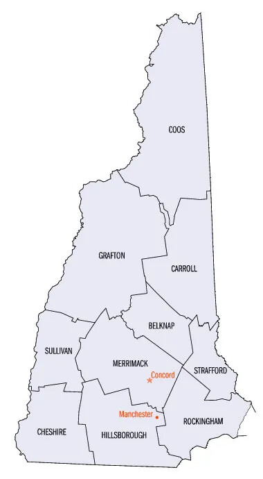
A gray map of New Hampshire, sectioned off into the state’s different sized counties. Each county is labeled in black text, and reads, from left to right, “CHESHIRE/HILLSBOROUGH/ROCKINGHAM/SULLIVAN/MERRIMACK/STRAFFORD/GRAFTON/CARROLL/COOS”. Inside the Merrimack and Hillsborough counties, the cities of Concord and Manchester are labeled in red text.
New Hampshire Map
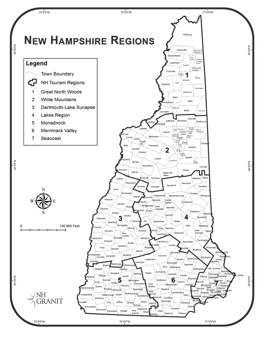
A black and white map of New Hampshire, as separated by regions. The regions are labeled 1-7, beginning in the top of the state and moving down to the bottom. To the left of the map is a box with the words "Legend" typed in black text, placed above a number of drawn images, numbers, and words. The title of the map, placed in the upper left-hand corner, reads "New Hampshire Statewide Map Atlas/NEW HAMPSHIRE REGIONS." Below the title and box are a compass rose and a horizontal line with little vertical lines placed at even intervals.
New Hampshire Regions
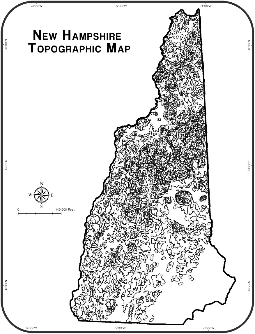
A black and white map of New Hampshire. There are several squiggly circles that overlap each other throughout the state, except in the lower right-hand corner. There are more overlapping circles towards the middle and top of the state. The title of the map, placed in the upper left-hand corner, reads "NEW HAMPSHIRE TOPOGRAPHICAL MAP." Below the title and box are a compass rose and a horizontal line with little vertical lines placed at even intervals.
New Hampshire Topographical Map
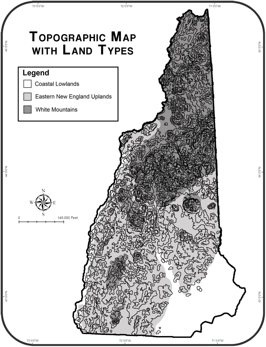
A black and white map of New Hampshire. There are several squiggly circles that overlap each other throughout the state, except in the lower right-hand corner. There are more overlapping circles towards the middle and top of the state. The groupings of circles in the lower half of the state are highlighted in light gray, and the upper part of the state is highlighted in a darker gray.  The title of the map, placed in the upper left-hand corner, reads "TOPOGRAPHICAL MAP WITH LAND TYPES." Below the title is a box labeled "Legend." There are three smaller boxes below the title, and are colored white, light gray, and dark gray. These smaller boxes are labeled "Coastal Lowlands", "Eastern New England Uplands", and "White Mountains." A compass rose and a horizontal line with little vertical lines placed at even intervals are placed to the left of the state map.
New Hampshire Topographical Map with Land Types
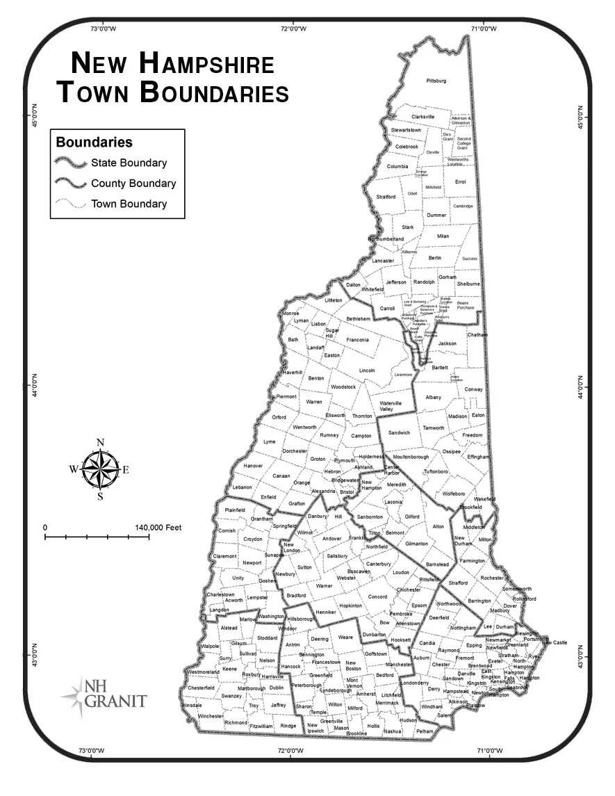
A black and white map of New Hampshire, as divided by towns. On the left, the words "NEW HAMPSHIRE/TOWN BOUNDARIES." To the left of the "State Boundary", "County Boundary", and "Town Boundary" words are waving lines of different boldness.
New Hampshire Town Boundaries
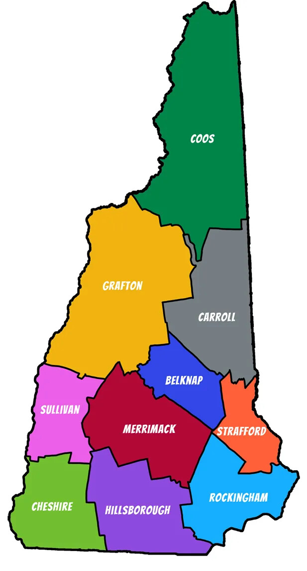
New Hampshire's Counties
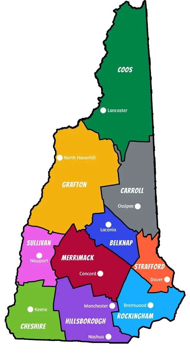
A colored map of New Hampshire, with different parts of the state highlighted in different colors. In each colored section, text in white, capitalized lettering is placed in the center of the sections. Surrounding the words are small white dots next lettering in smaller white text.
New Hampshire's Counties & County Seats
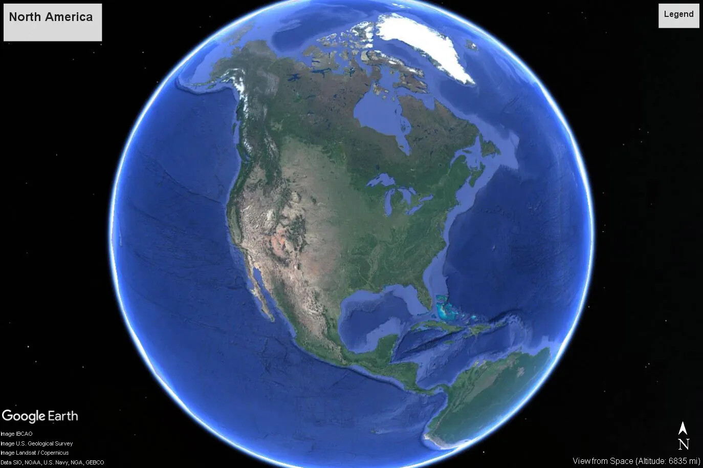
A colored screenshot of a circular Earth surrounded by the night sky from Google Earth. This image shows North America, and the top countries of South America. The sea is blue, and the continents are different shades of green.
North America
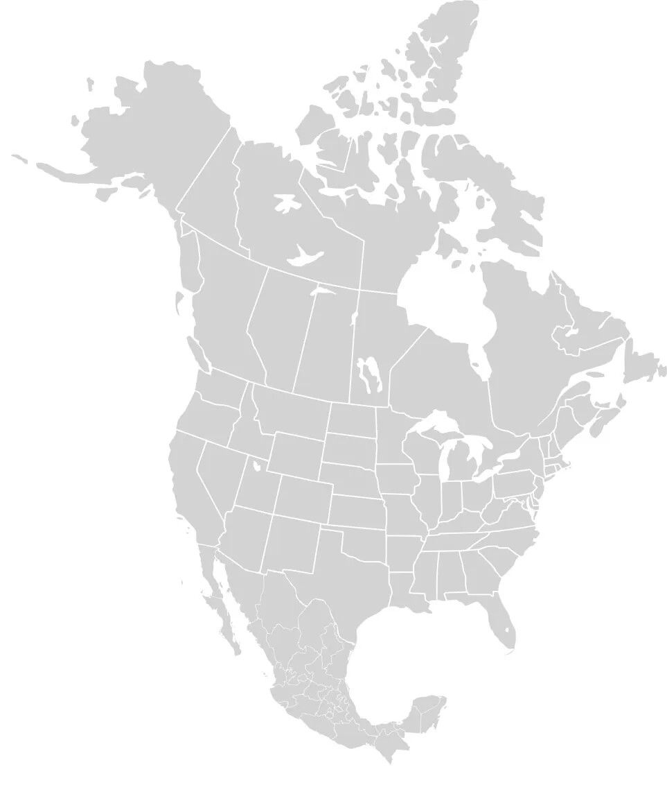
A gray map of the North American continent. The regions of Canada and Mexico, as well as the individual states in the United States are outlined in white.
North America Map
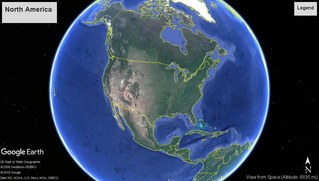
A colored screenshot of a circular Earth surrounded by the night sky from Google Earth. This image shows North America, and the upper countries of South America. The sea is blue, and the continents are different shades of green. The countries of Canada, the United States, Mexico, and those in Central America are outlined in yellow.
North America with National Borders
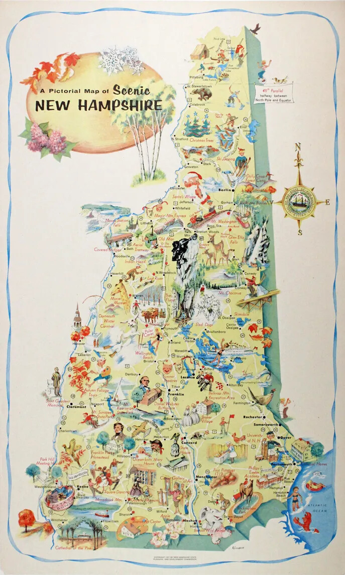
A colored map of New Hampshire, featuing different activities that can be done in different parts of the state. The title of the map, in the upper left-hand corner, reads: "A Pictorial Map of Scenic NEW HAMPSHIRE."
Picture Map of Scenic New Hampshire
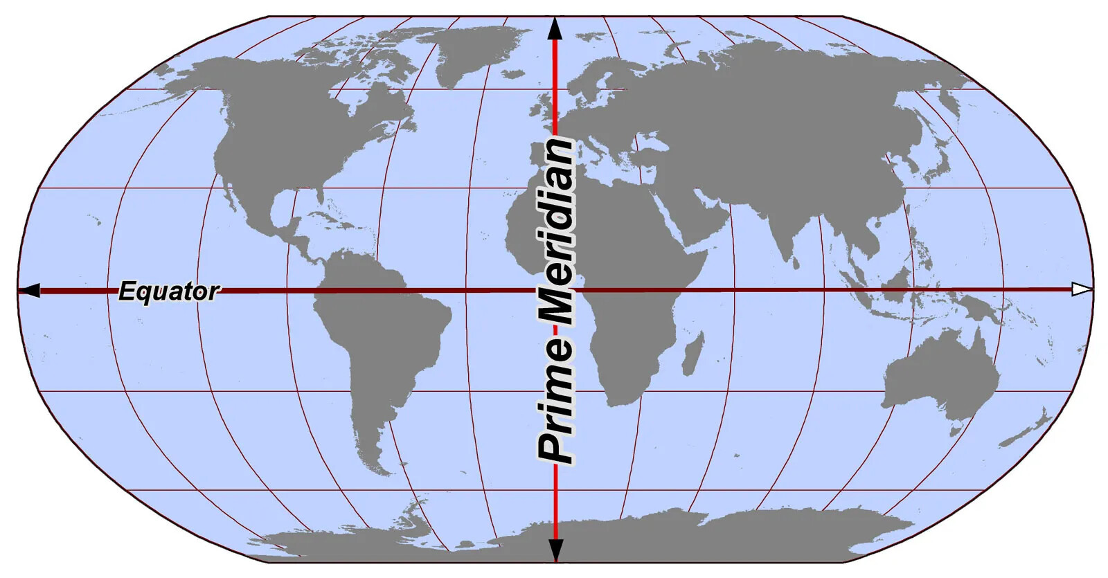
A colored oval map of the world. The continents are colored in a dark gray, and the ocean is a light shade of blue and gray. Drawn horizontally and vertically across the middle of the map are two thick red line ending in black arrowheads. The horizontal line is labeled “Equator” in small black lettering, and the vertical line is labeled “Prime-Meridian” in large black letters.
Prime Meridian
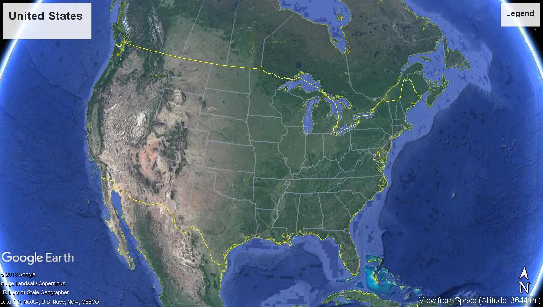
A colored, up-close screenshot of the United States surrounded by the Atlantic and Pacific Oceans from Google Earth. Parts of Canada are seen along the upper border of the image, and parts of Mexico are seen at the center of the lower border. The land mass is green and the two oceans are blue. The individual states are outlined in white, and the country as a whole is outlined in yellow.
The United States
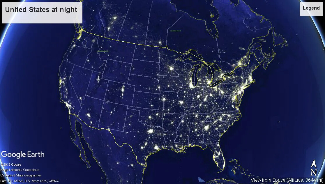
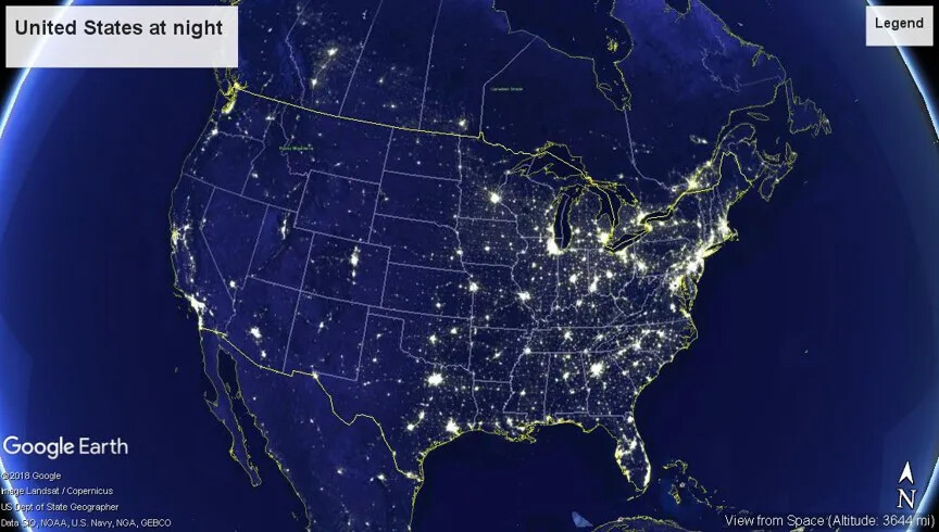
A colored map of the United States at night from Google Earth. The states are outlined in white and the borders of Canada, Mexico, and the United States are outlined in yellow. Groupings of the color yellow are scattered around each state, with the most being clustered around the states along the East Coast. The rest of the map is colored a dark blue.
The United States at Night
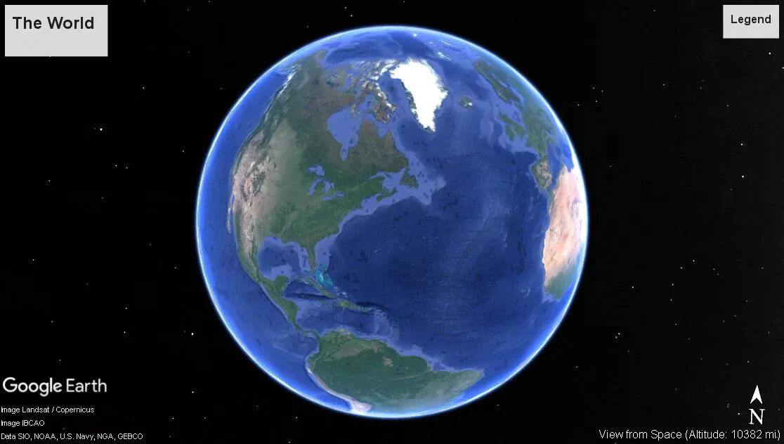
A colored screenshot of a circular Earth surrounded by the night sky from Google Earth. The sea is blue, and the continents are different shades of green. This image shows North America, about half of South America, and parts of Africa. In the upper right corner of the Earth, a few European countries are shown.
The World
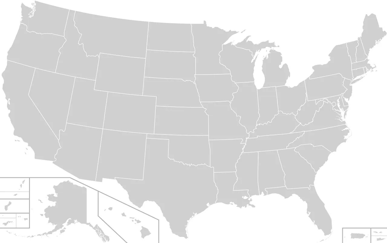
A gray map of the United States and it territories. The states are outlined in white. The states of Alaska and Hawaii are presented in cropped boxes in the map’s bottom left hand corner. The territories of Puerto Rico, Guam, the Virgin Islands, American Samoa, and the Northern Mariana Islands are displayed in rectangular boxes along the map’s lower border.
United States Map

Objects in this Unit:

A metal tool with two circles at the ends and several smaller circles holding long strips of metal together in the middle.
Gunter's Chain
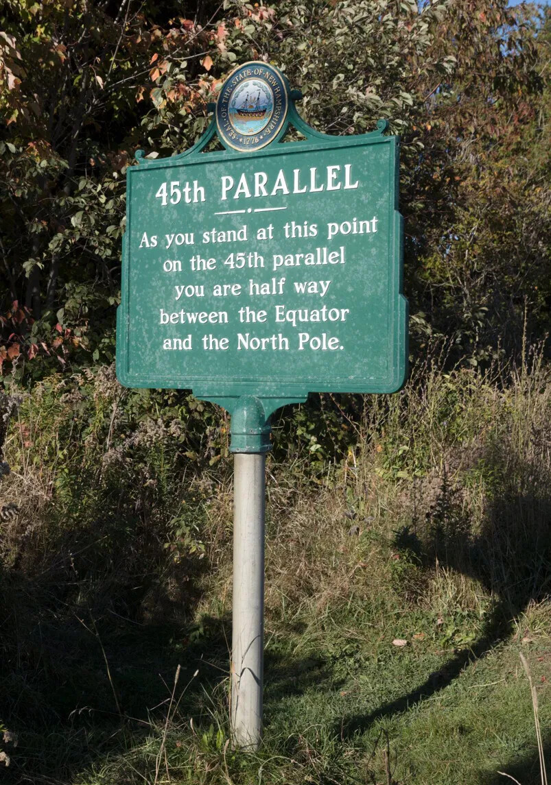
A colored photograph of a tall green sign with white lettering. The sign stands in a small clearing between green trees and bushes.
Sign for 45th Parallel
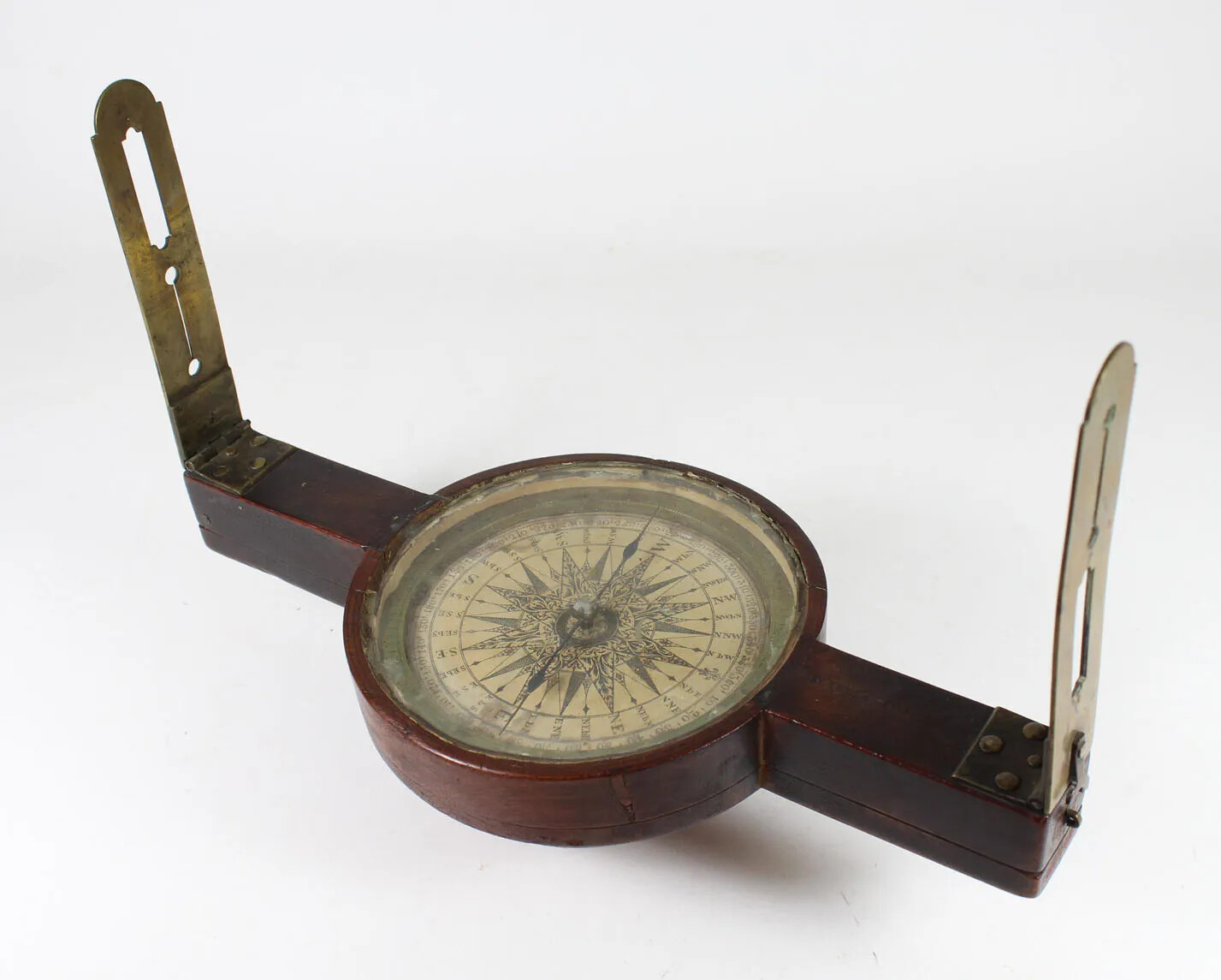
A wooden tool with a circular compass in the middle and two brass handles on either side. The handles stand up vertically, and connecting the compass and the handles are two horizontal pieces of wood.
Surveyor's Compass
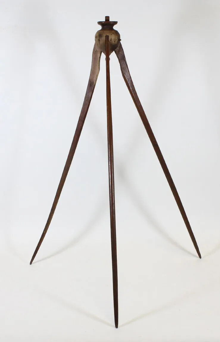
A tall wooden tripod, which stands on three pointed legs. At the top of the tool is a upside-down tear-drop shape and flat base.
Surveyor's Tripod

Photographs & Prints in this Unit:

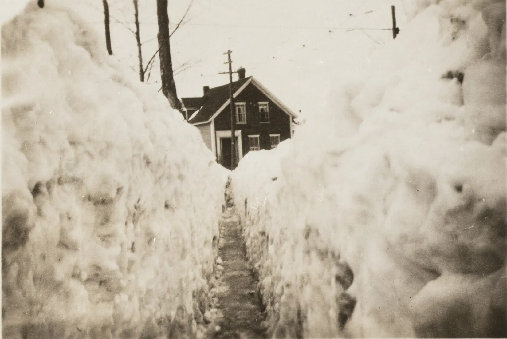
A black and white photograph of a narrow shoveled path between two large walls of snow. At the end of the path is a two-storied house.
A Shoveled Path
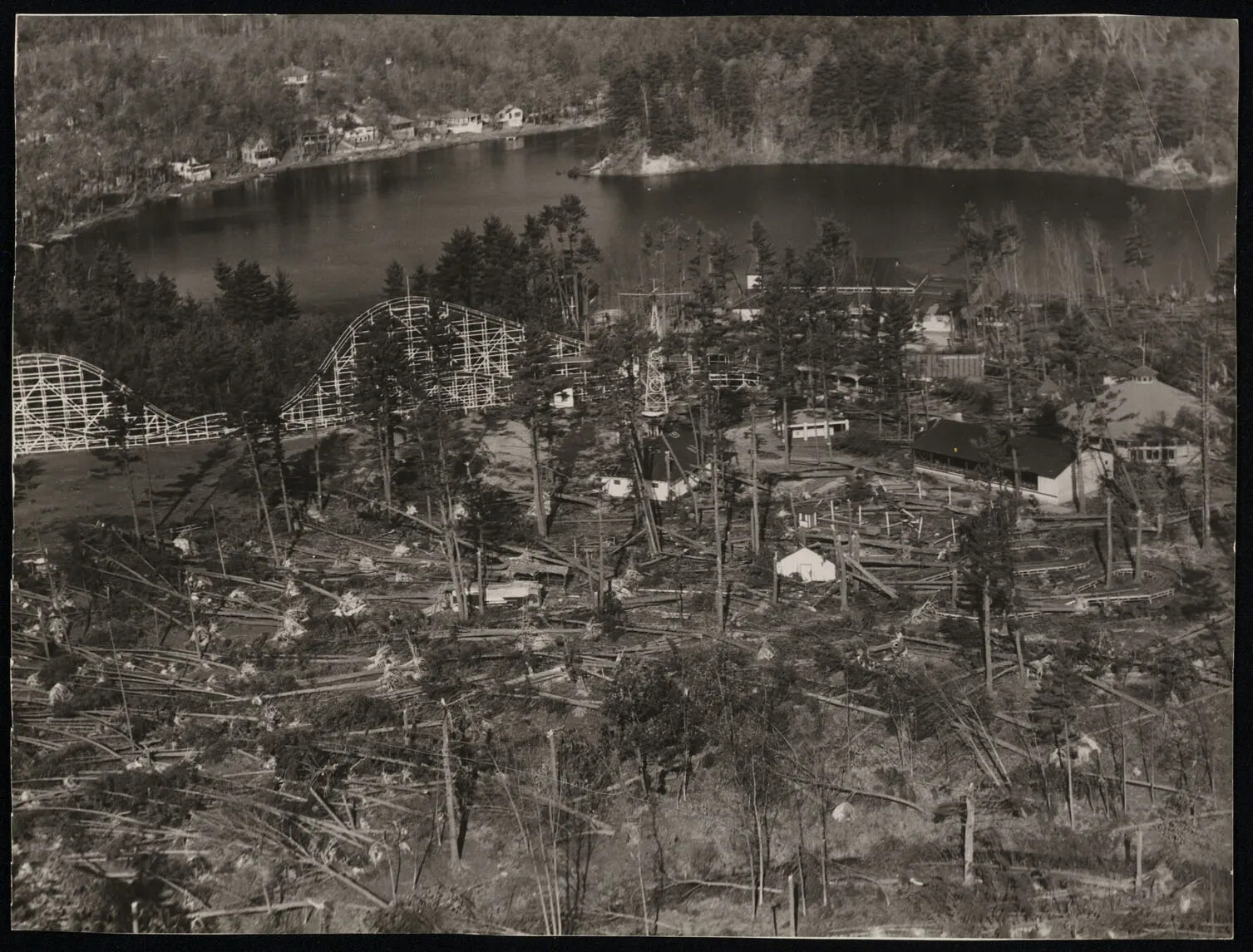
A black and white photograph of an amusement park and a large body of water, surrounded by fallen trees.
Aerial View After Hurricane
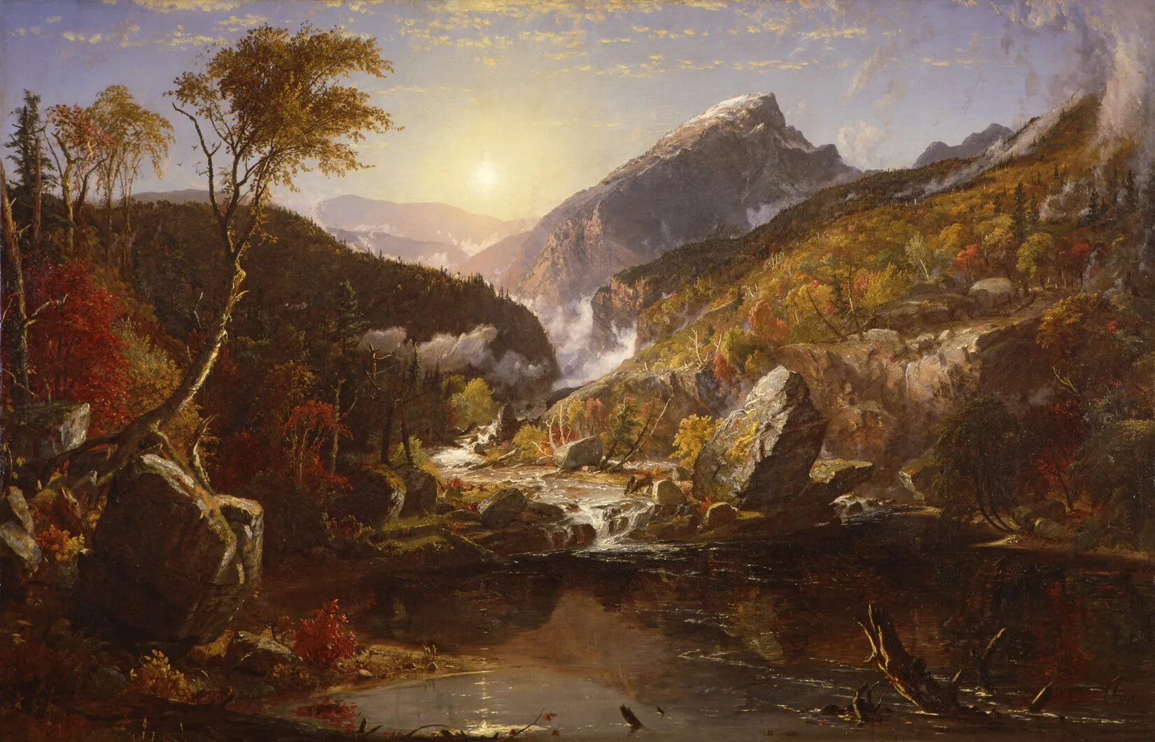
A colored painting of a small body of water, surrounded by brown and red mountains.
An Indian Summer Morning in the White Mountains
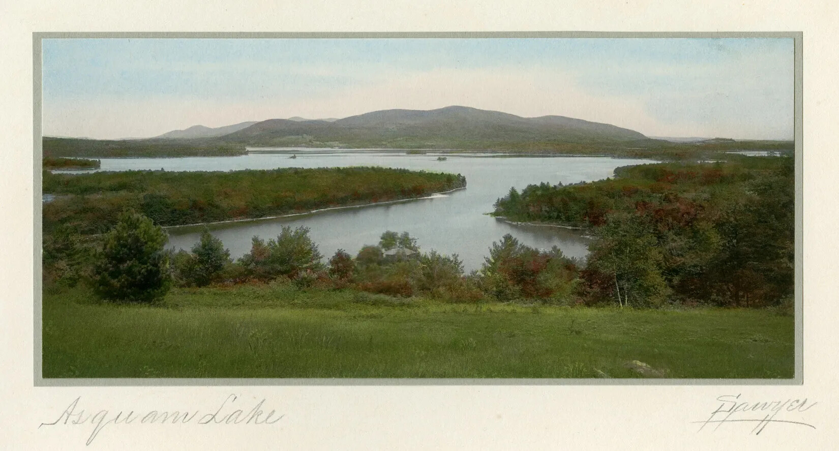
A colored drawing of a large body of water surrounded by green grass, trees, and a large mountain in the background. The words "Asquam Lake" and "Sawyer" are written in cursive writing in pencil. The title "Asquam Lake" are placed in the bottom left-hand corner, and "Sawyer" is placed in the bottom right-hand corner of the postcard.
Asquam Lake
A colored photograph of a beaver. The beaver has wirey and brown fur, small black ears and hands, and large black feet. It also has a large, flat tail.
Beaver
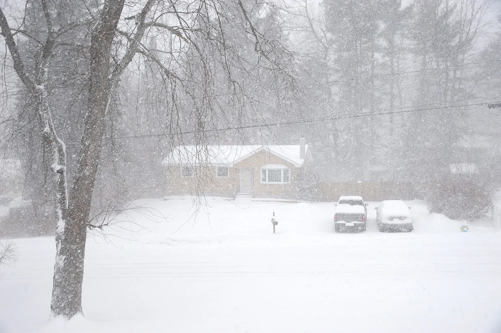
A colored photograph of a snow storm. A single-storied yellow house can be seen through the snow. Two snow-covered cars are parked in the driveway.
Blizzard
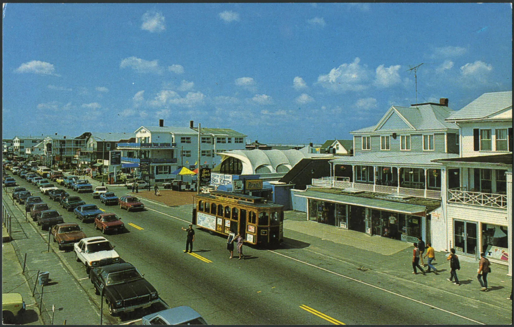
A colored horizontal postcard of a row of three-story buildings along a busy road. There are two lanes of traffic and one lane of parked cars. A policeman stands in the center of the road to stop the rows of cars and allow two women to cross the street. There are several people walking on the sidewalks in front of the row of buildings. The top half of the postcard is covered with blue sky and small white clouds.
Boardwalk at Hampton Beach
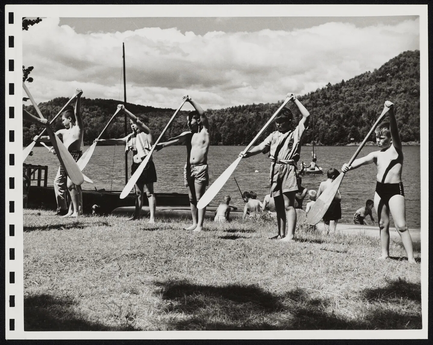
A black and white photograph of a group of children standing on a grassy area, holding large wooden paddles in their hands. In the background, there is a small body of water surrounded by mountains.
Boating Instruction
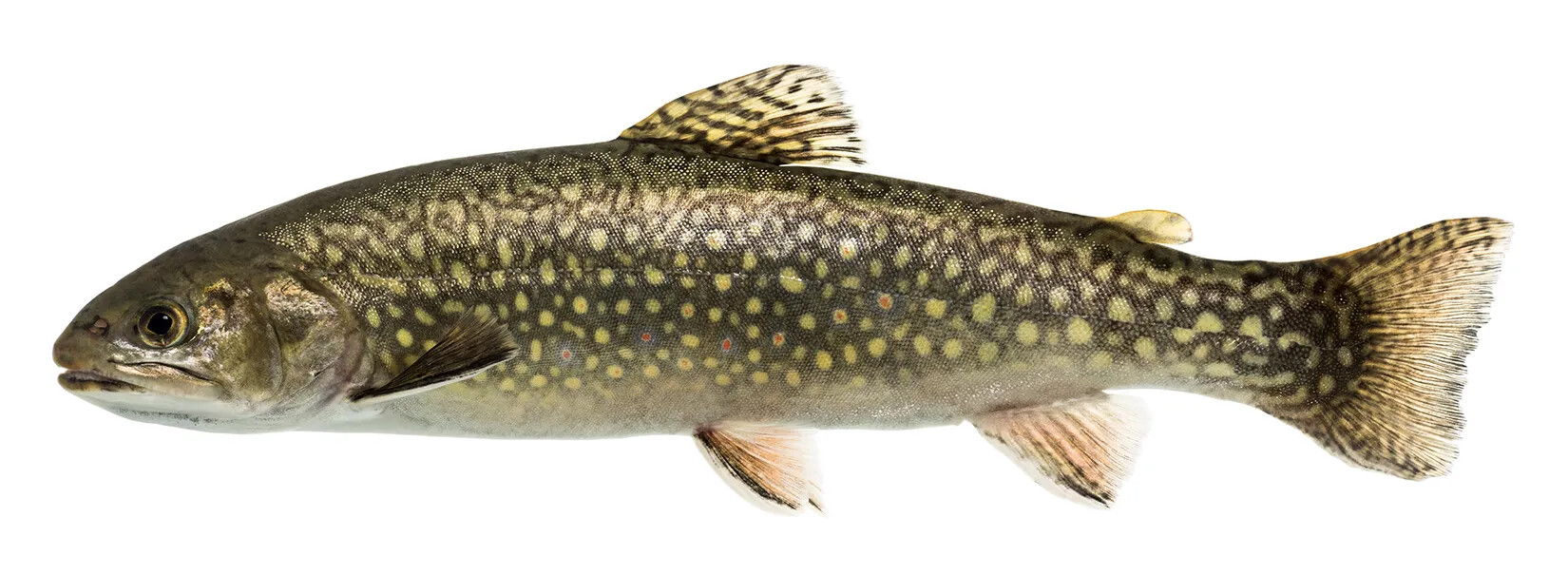
A colored photograph of a spotted green and brown fish. The fish has five small fins and a large, wide tail.
Brook Trout, the State Freshwater Fish
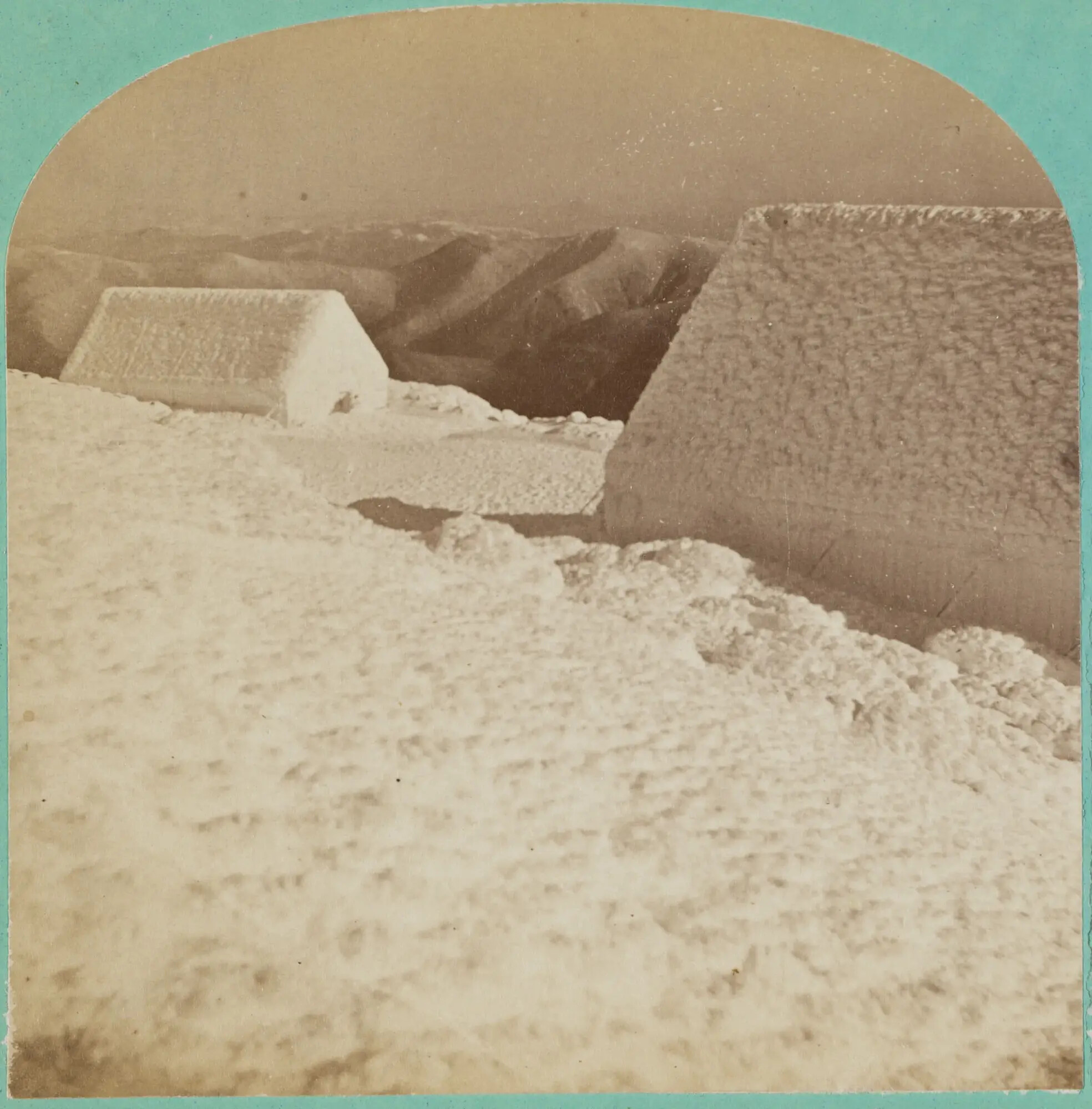
A black and white carte de viste of two buildings completely covered in snow. In the background is a mountain range. On the left-hand border, the words "Summit of Mount Washington, Winter of 1870-71./Entered according to Act of Congress in the year 1871, by Clough & Kimball, in the office of the/Librarian of Congress, at Washington" are typed in black ink. On the right-hand border, the words "CLOUGH & KIMBALL, CONCORD, NH" are typed in elaborate writing in black ink. The circled number "1085" is written in blue ink on the top right-hand corner.
Buildings on Mount Washington in Winter
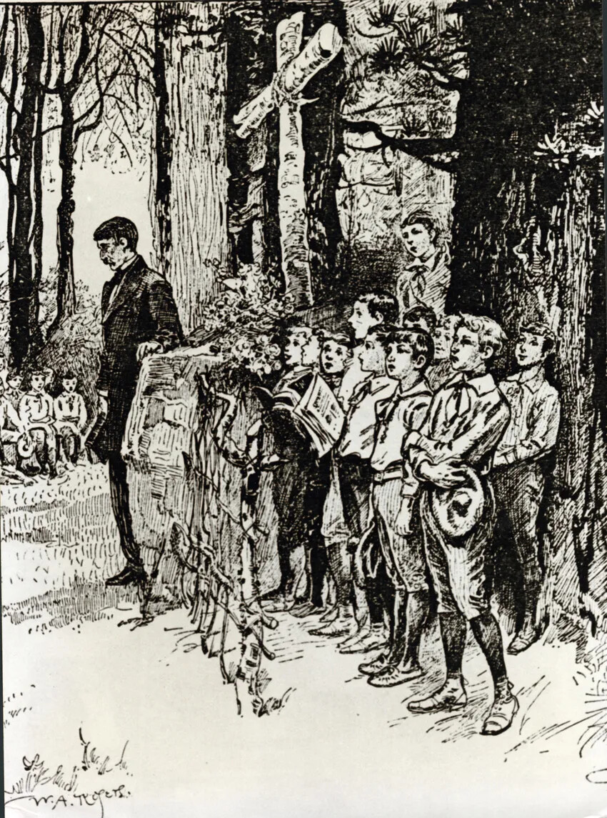
A black and white drawing of a group of boys standing to the right of a large wooden cross. A tall man stands of their left, and another group of boys sit on the left side of the drawing.
Camp Chocorua
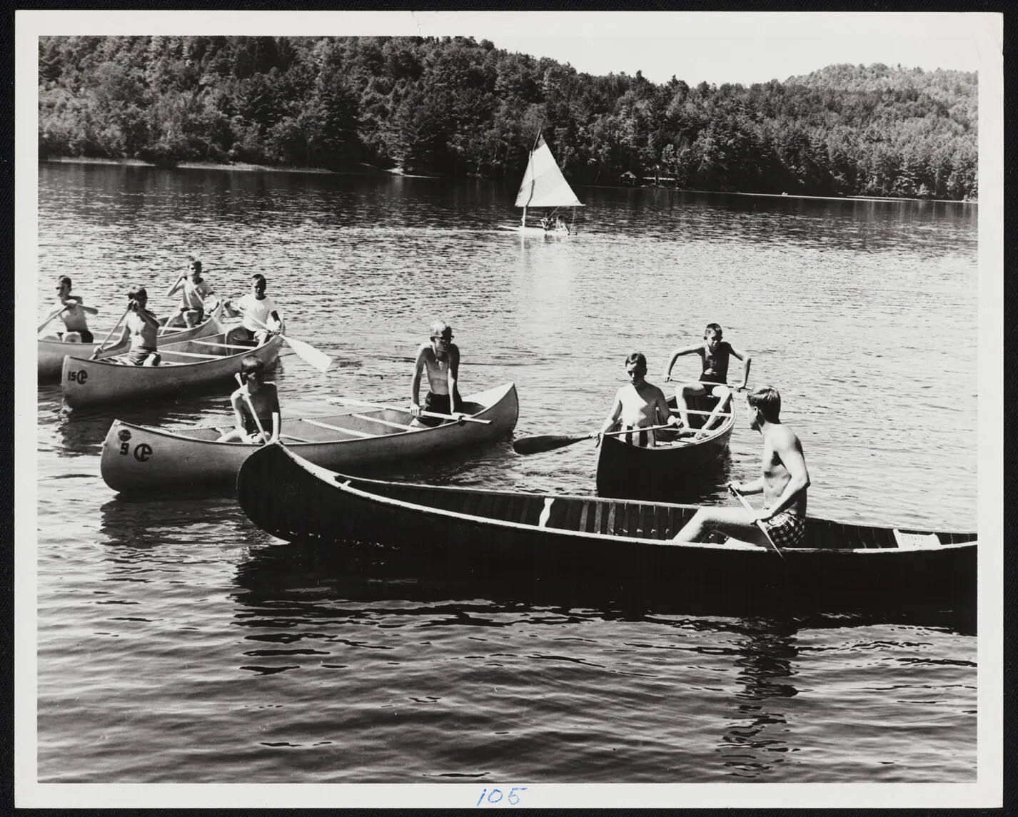
A black and white photograph of various groups of boys in large canoes on a body of water. There are mountains in the background and a small sailboat sails just behind the canoes.
Canoeing at Camp
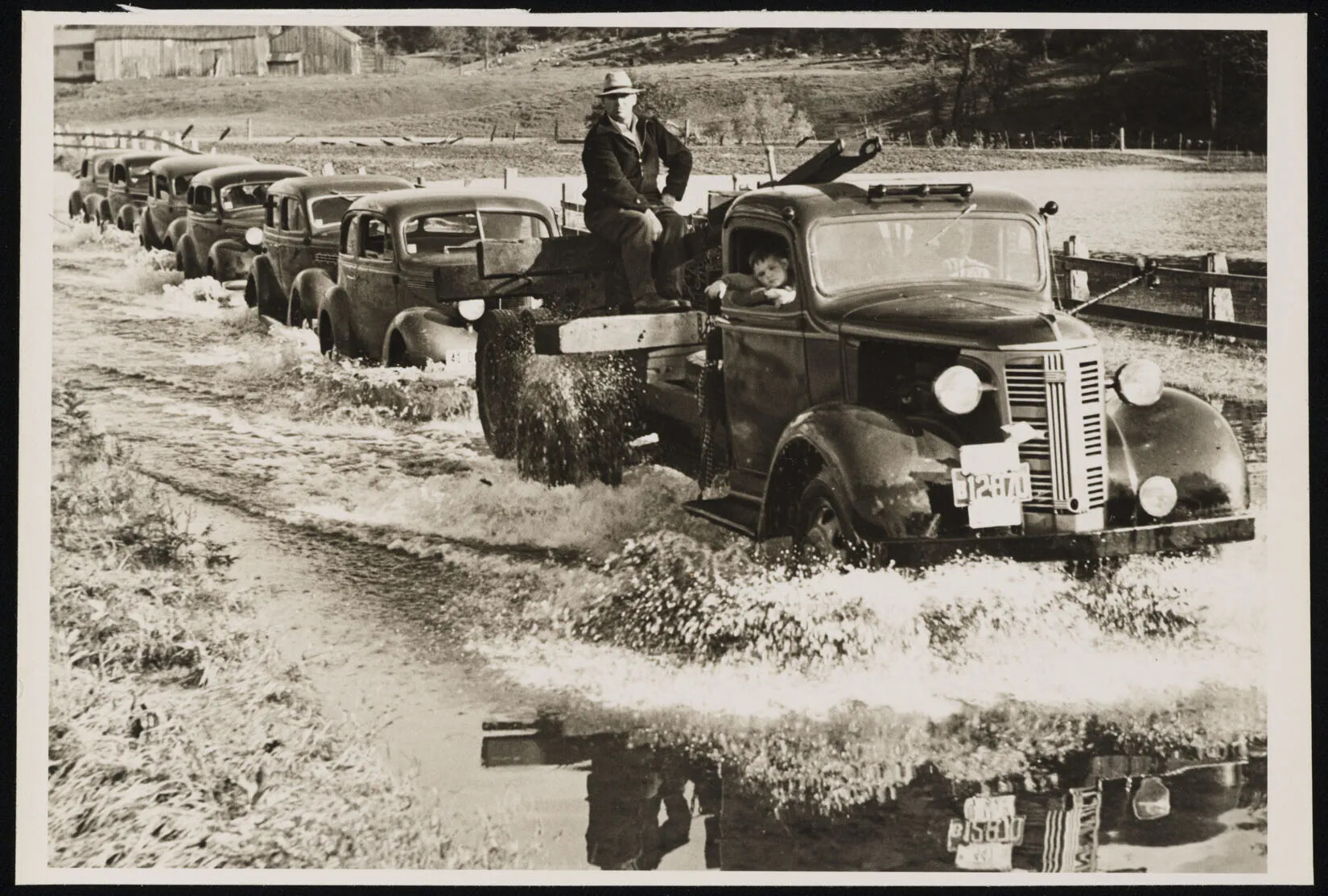
A black and white photograph of several cars driving through a flooded street. The front-most truck has a child sitting in the front seat, leaning slightly outside of the car, and a man is sitting on the truck's bed on top of several wooden beams.
Cars on a Flooded Street
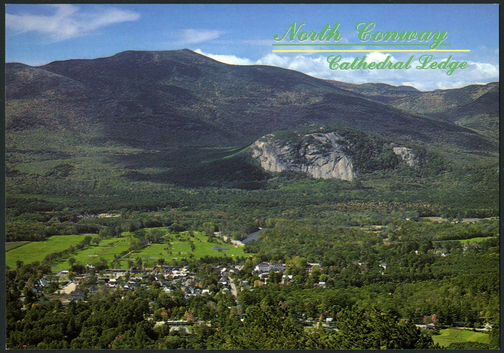
A colored horizontal postcard of a large green mountain in the background and a valley of flat green land scattered with trees. The title of the postcard, placed in the upper right-hand corner, reads "North Conway/Cathedral Ledge."
Cathedral Ledge, North Conway
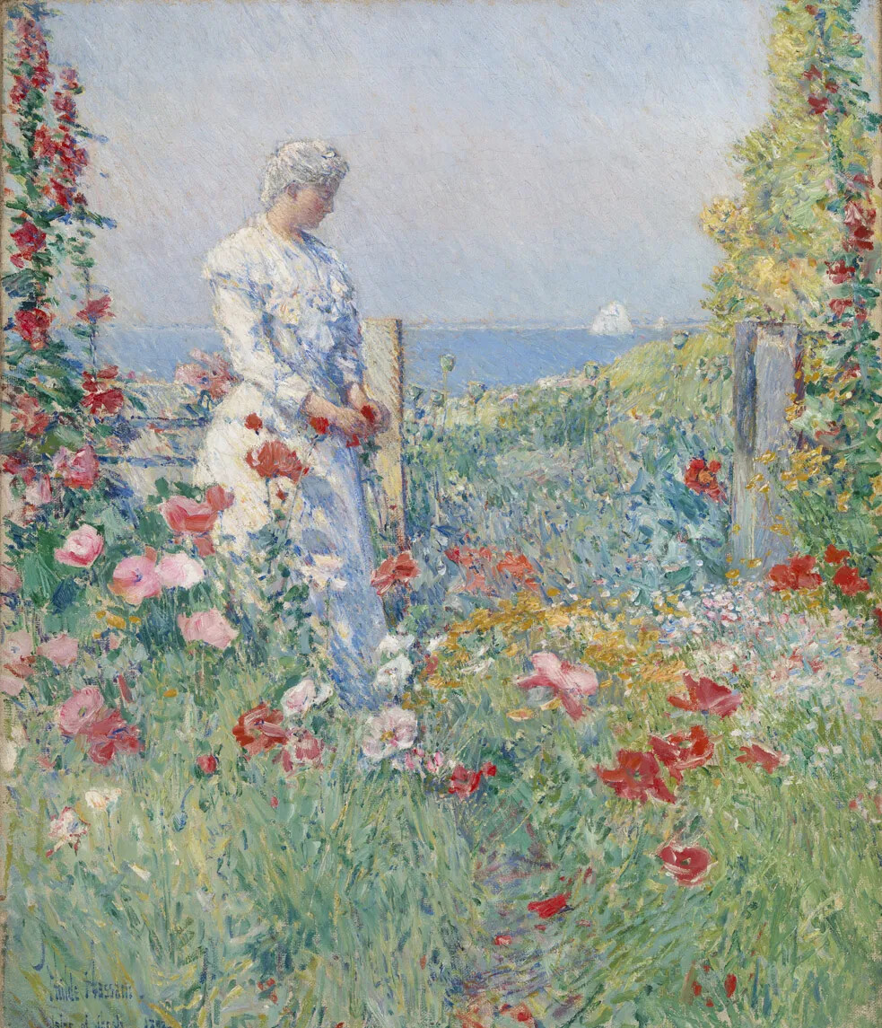
A colored painting of a women in a white dress standing in her garden. The garden is full of red, pink, and white flowers, and in the background, a sailboat sails on a blue body of water.
Celia Thaxter in Her Garden
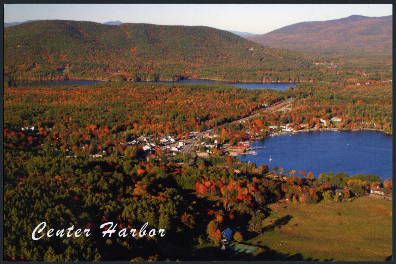
A colored horizontal postcard of a flat area of land covered with trees. There are tall mountains in the background. All of the trees are either green, red, or orange. There is a circular body of water in the right-hand corner, and a another, longer body of water in the upper left-hand corner of the postcard. The title of the postcard, placed in the lower left-hand corner, reads "Center Harbor."
Center Harbor in the Fall
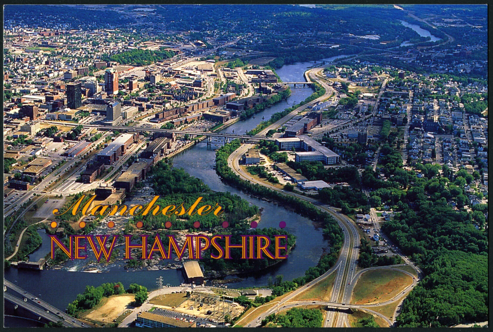
A colored horizontal postcard of a city along a river. The river passes through two sides of the city. To the river's left are lots of tall buildings, and to its right are vertical rows of houses and smaller buildings. The title of the postcard, placed in the left-hand corner, reads "Manchester/NEW HAMPSHIRE."
City of Manchester
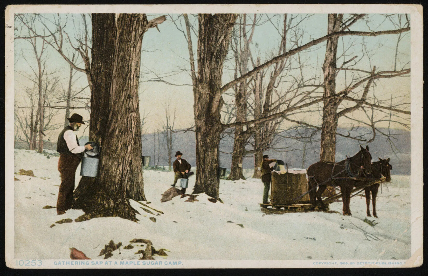
A colored photograph of three men with buckets standing in front of tall trees. On the right side of the photograph, one man stands behind a horse-drawn cart, and dumps the contents of his bucket into a large container. On the left side of the photograph, one man stands to the left of a tree and looks towards the camera. To his left, another man stands facing a tree, holding his bucket up to the trunk of the tree. In the lower left-hand corner, the words "10253 GATHERING SAP AT MAPLE SUGAR CAMP" are typed in light blue ink.
Collecting Maple Syrup
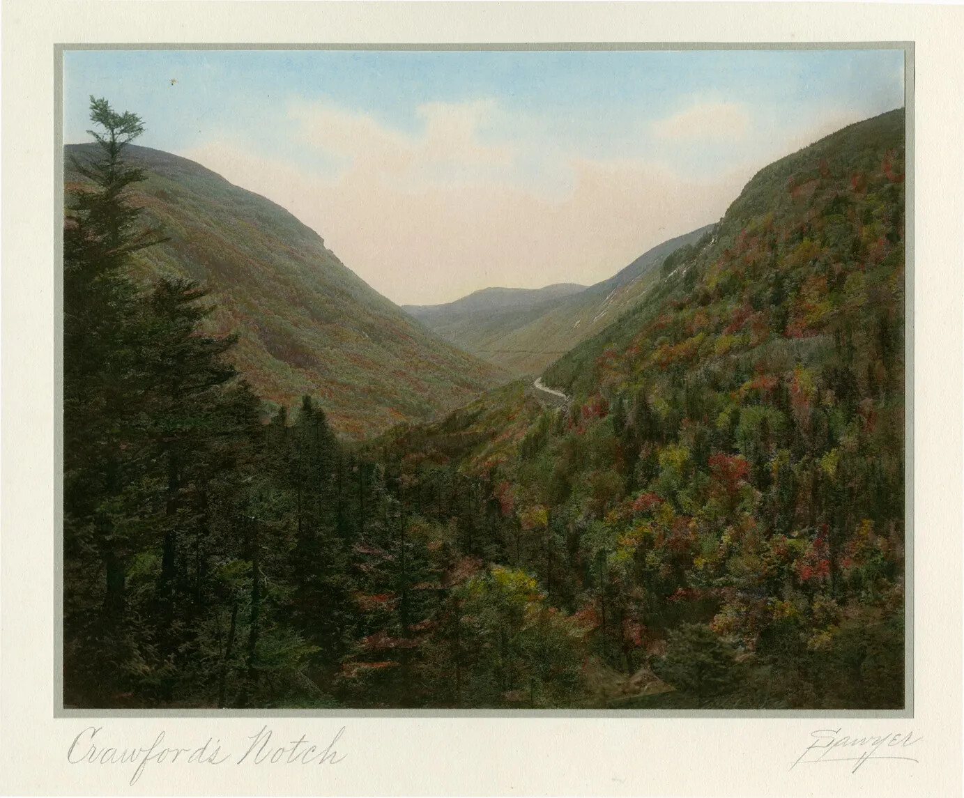
A colored postcard of a mountain region. Green trees are mixed in with multi-colored trees in the valley of the mountains. Above the mountain region is a clouded blue sky.
Crawford Notch
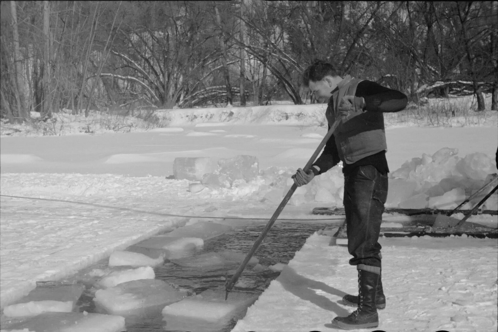
A black and white photograph of a man standing on a frozen body of water, dragging pieces of cut ice through the exposed water.
Cutting Ice
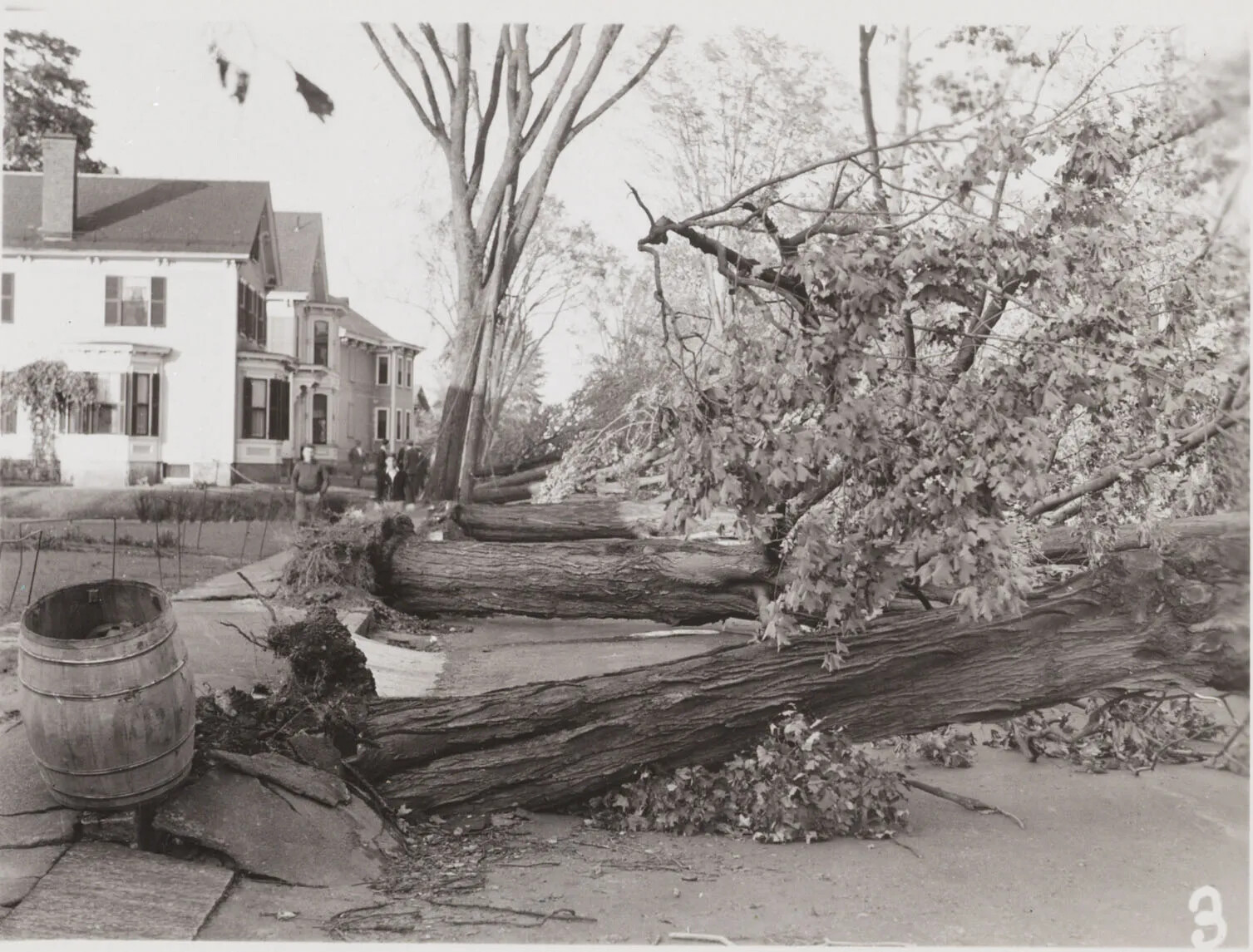
A black and white photograph of several uprooted trees along a residential sidewalk. The trees' roots break through the sidewalk, and a large barrel rests tilted against a raised piece of sidewalk. There are houses along the left-hand side of the photograph, and several people stand looking at the trees.
Downed Trees in Nashua
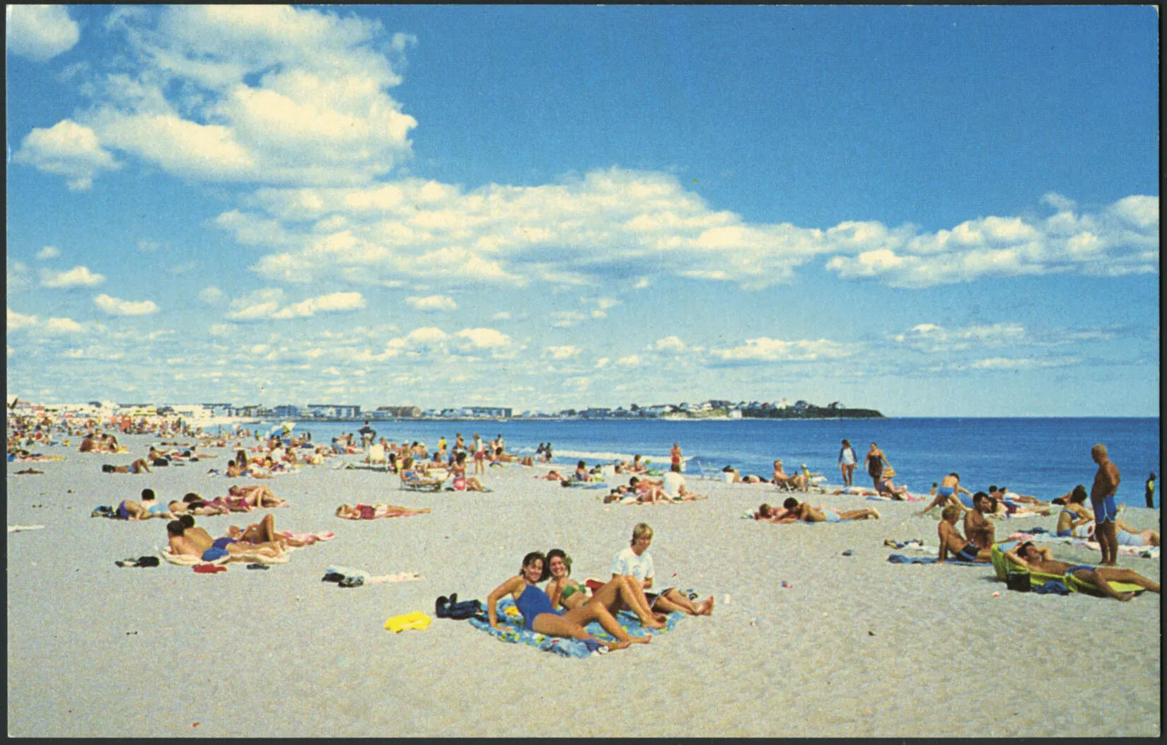
A colored horizontal postcard of a flat area of sand. Many people sit in groups on the sand. To the sand's right is a large, flat body of water. Along the back edge of the postcard are several buildings. A large blue sky with groupings of white clouds take up the majority of the top of the postcard.
Enjoying A Day at the Beach
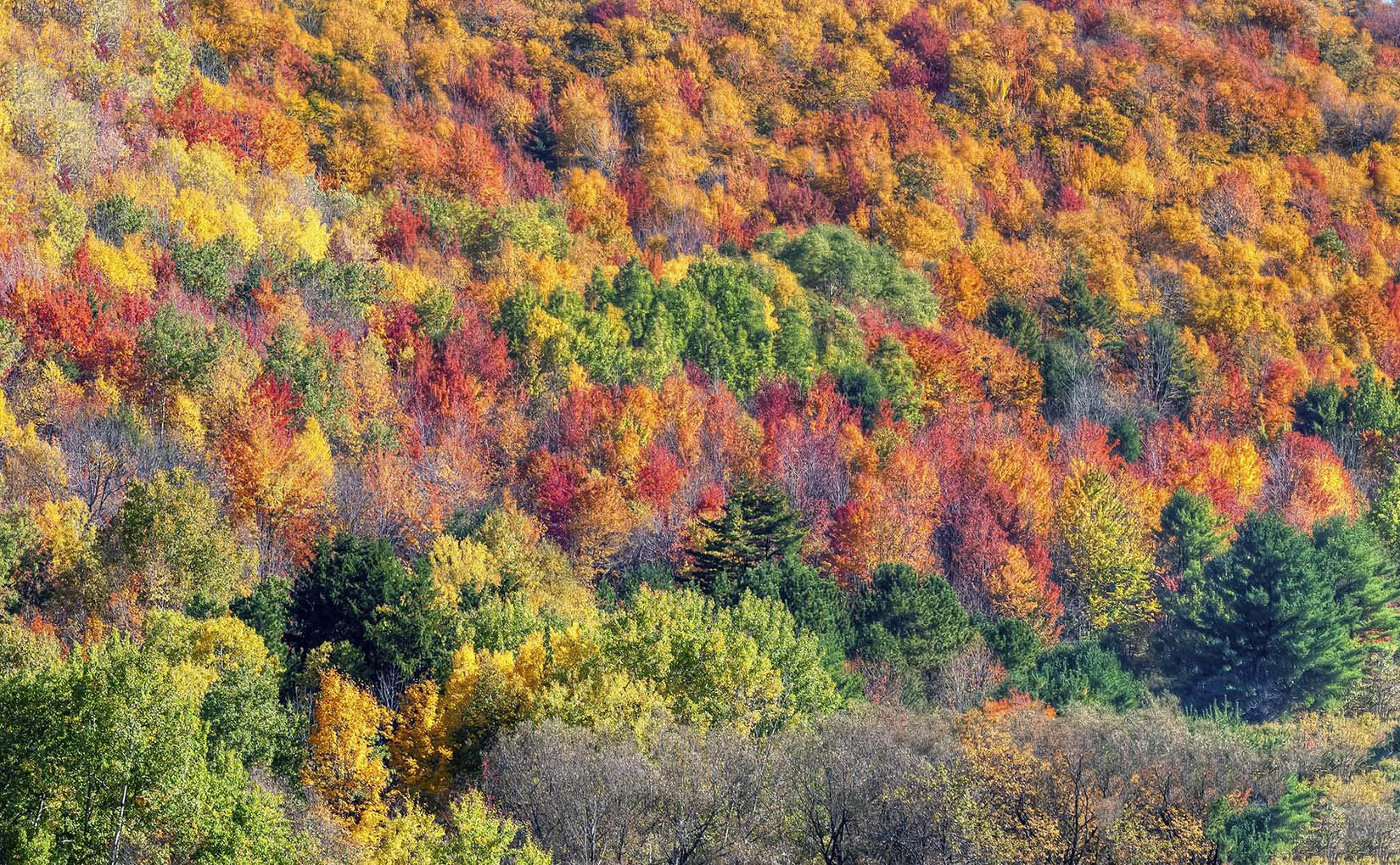
A colored photograph of a cluster of multicolored trees. The trees are all either green, red, orange, or yellow.
Fall in New Hampshire
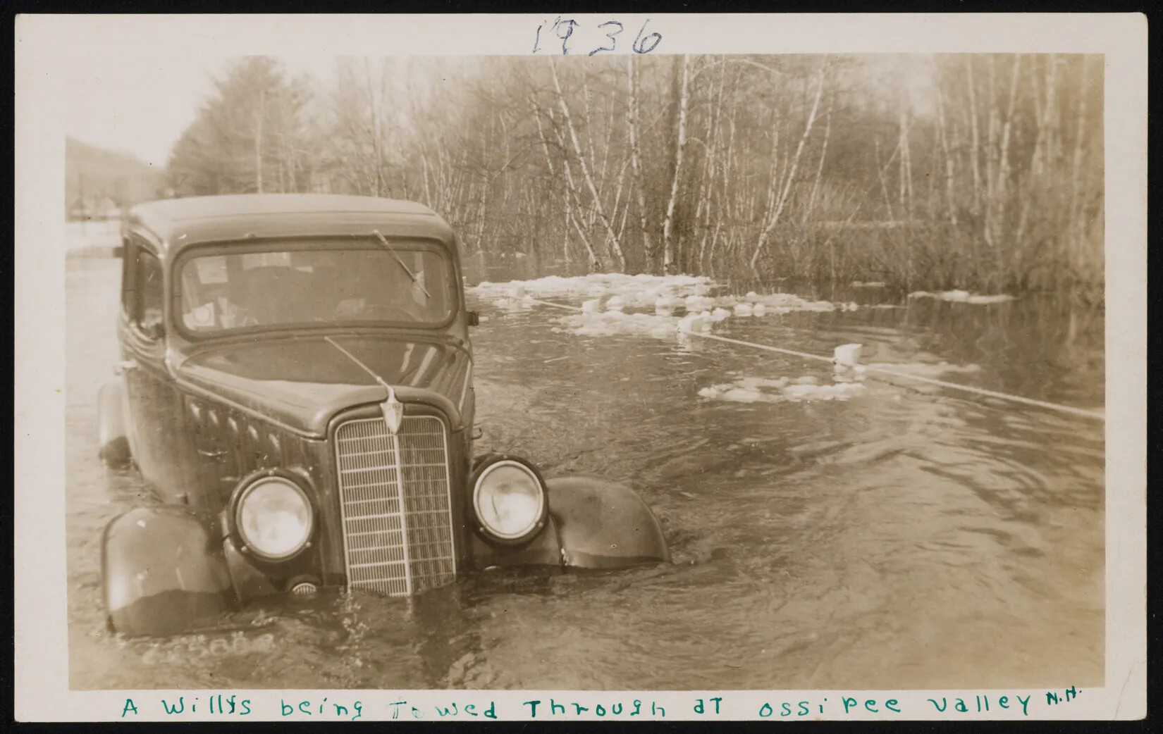
A black and white photograph of a landscape shows a 1930s-style car with flood waters nearly reaching its headlights. Water and some ice flow by the car, and the outline of people are seen inside the car. Flooded birch and other trees are in the background. The top of an almost-covered rail is next to the car. Handwritten penned words read "1936" in the center on top of the photograph, and at the bottom "A Willys being towed through at ossipee valley N.H."
Flooded Car
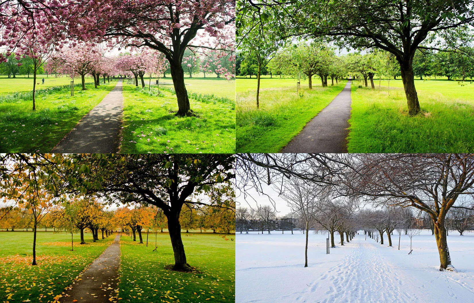
A colored photograph of the same scene displayed four times, with two images placed on top of two other images. In each scene, a path is lined with thin trees. Each scene displays different types of weather and foliage, showing, from left to right:  flowering trees with pink blossoms, trees with green leaves, trees with green and yellow leaves, and snow covered trees and path.
Four Seasons
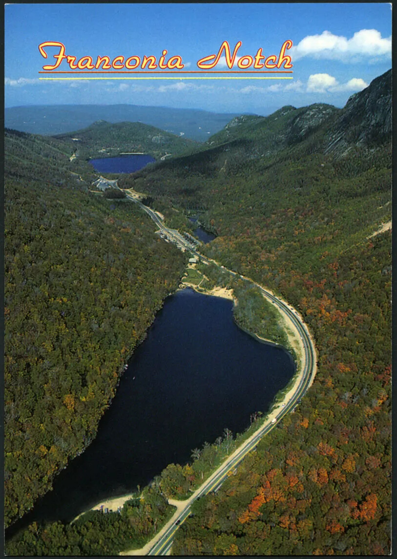
A colored vertical postcard of a body of water surrounded by steep mountains on either side. There is a road to the right of the body of water, and the mountain is covered in green and orange trees. The title of the postcard, placed in the upper left-hand corner, reads "Franconia Notch."
Franconia Notch
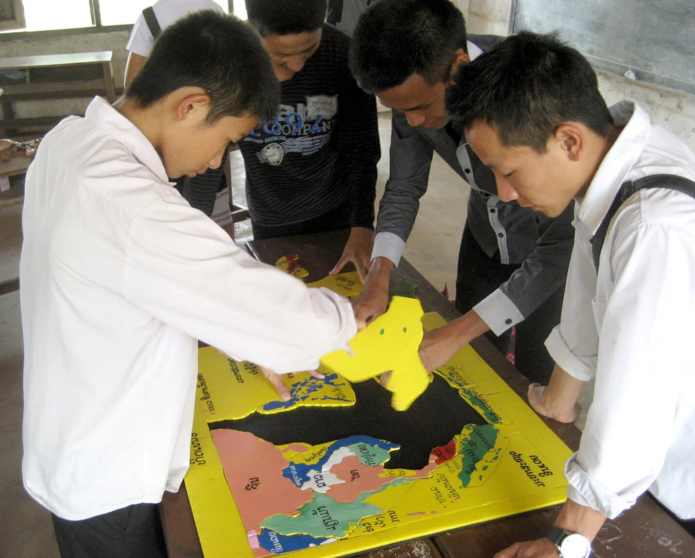
A colored photograph of four students standing around a multi-colored map puzzle. The student on the left holds a piece of the puzzle, and one of the students on the right points at a position on the map.
Geography Game
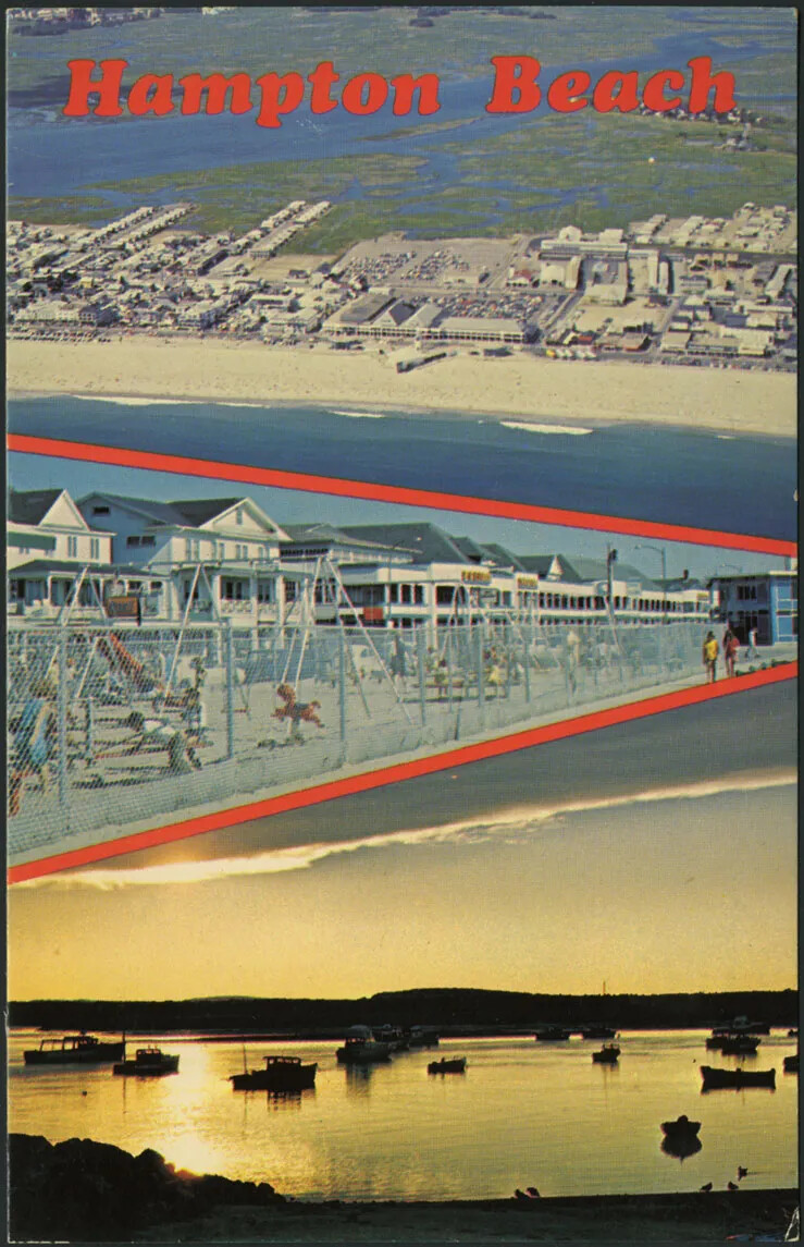
A colored vertical postcard of three separate scenes of a beach. The first scene, at the top of the postcard, shows many buildings placed along the sandy shore of the beach. The second scene, in the middle of the postcard, shows children playing on swing-sets in front of a row of white buildings. The third scene shows a harbor at sunset, with a calm body of water and several boats floating in the water. The title of the postcard, centered along the upper border, reads "Hampton Beach."
Hampton Beach
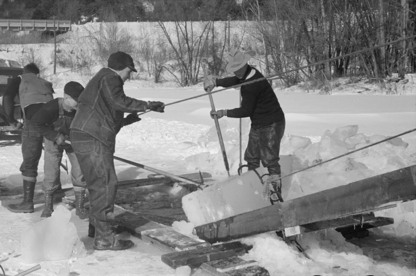
A black and white photograph of four men pulling pieces of ice off a wooden ramp onto a snow-covered surface.
Hauling Ice
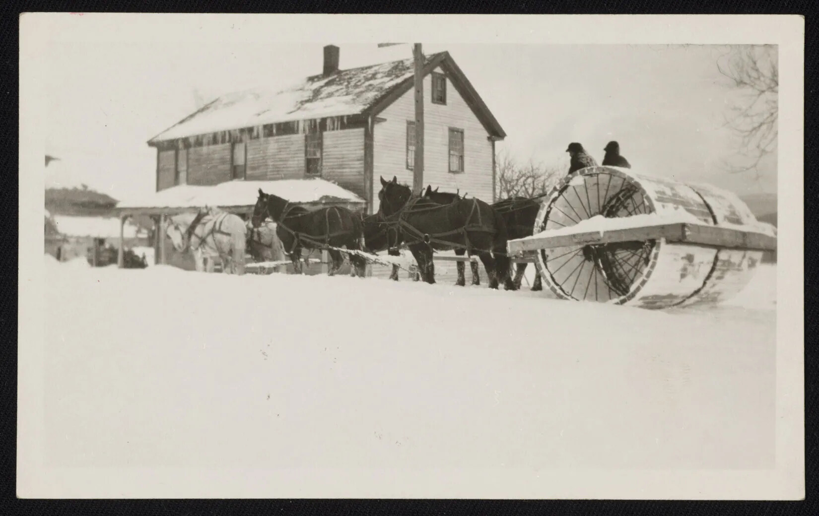
A black and white photograph of six horses pulling two men seated on a large wheel. There is a two-storied house covered in snow directly behind the horses.
Horse-drawn Snow Roller
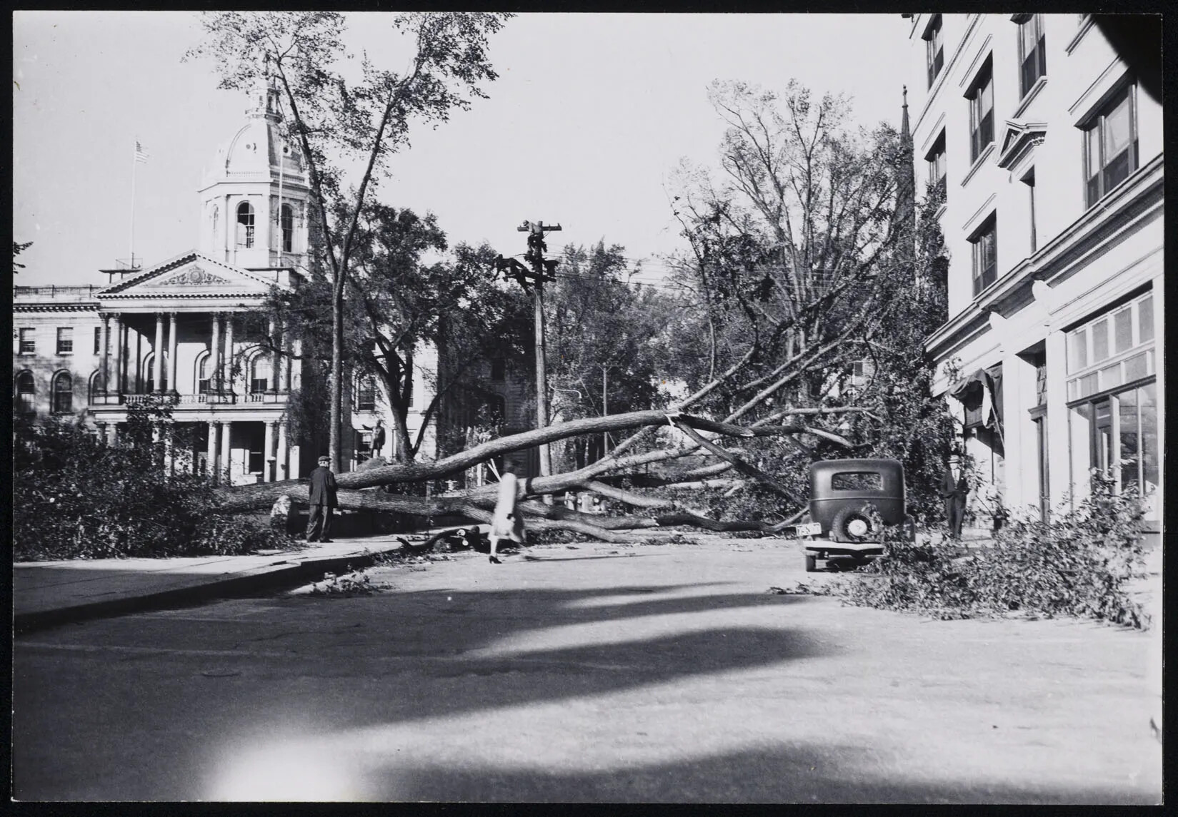
A black and white photograph of a large tree that has fallen across a small road. The road lies between two large buildings. There is a man standing, looking at the tree, a woman walking across the street, and another man standing, looking at the camera. The street is littered with tree branches.
Hurricane Aftermath on Park Street
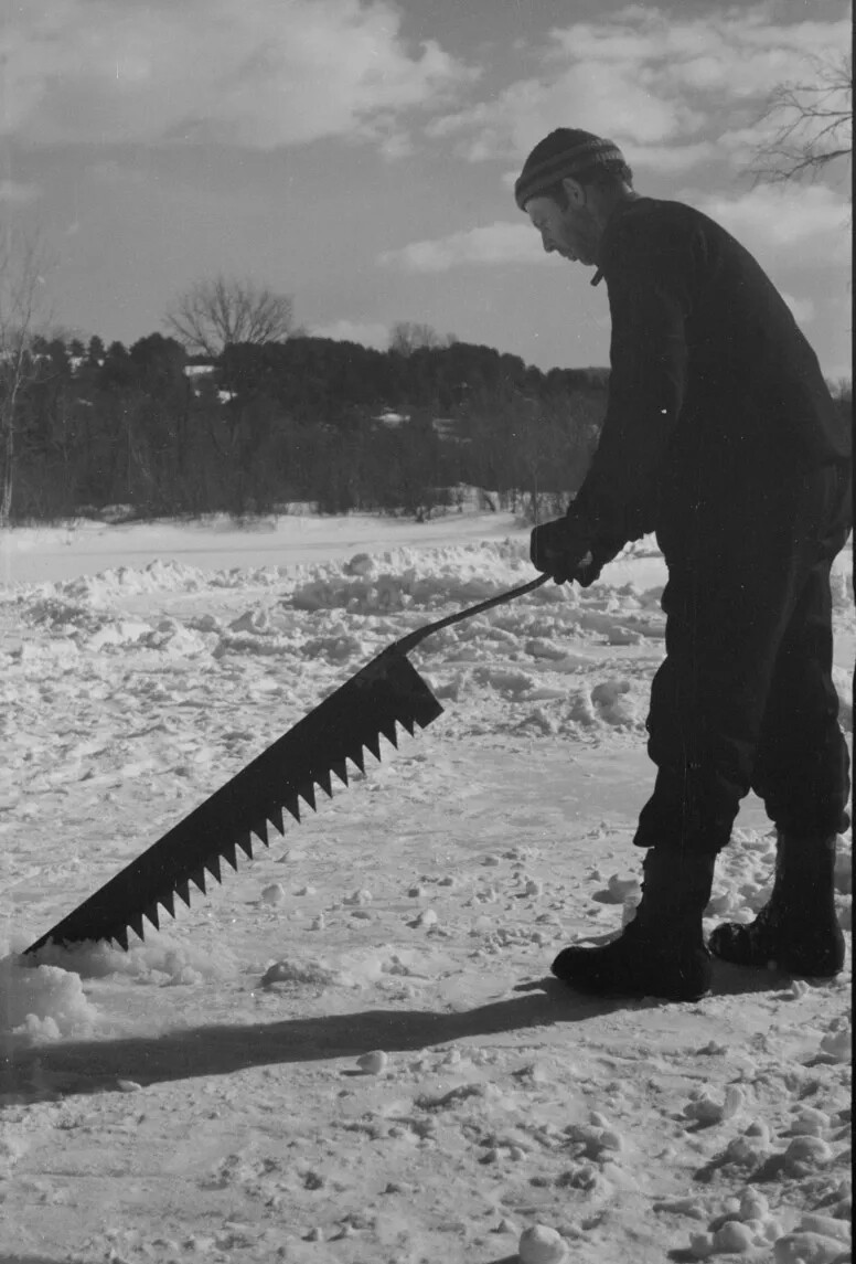
A black and white photograph of a man holding a long, thin saw on a frozen body of water. He is posed as if he is about the cut through the ice.
Ice Saw
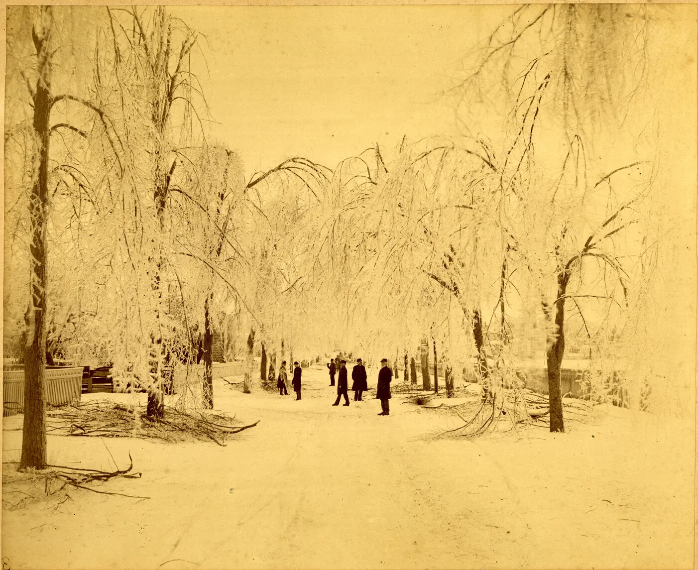
A yellowed-black and white photograph of several people walking along a snow-covered road, surrounded by fallen branches and bent trees covered in ice and snow. The words "VIEWS OF ICE-STORM AT PORTSMOUTH, N. H./THURSDAY AND FRIDAY, JANUARY 28TH AND 29TH, 1886.", typed in black ink, are centered along the bottom border of the photograph. To the left of this, the words "Photo. BY L.V. NEWELL 7 CO., PORTSMOUTH, N.H." are typed in black ink in the lower left-hand corner.
Ice Storm in Portsmouth
A colored painting of a large body of water surrounded by mountains and large green hills.
Lake Winnipesaukee
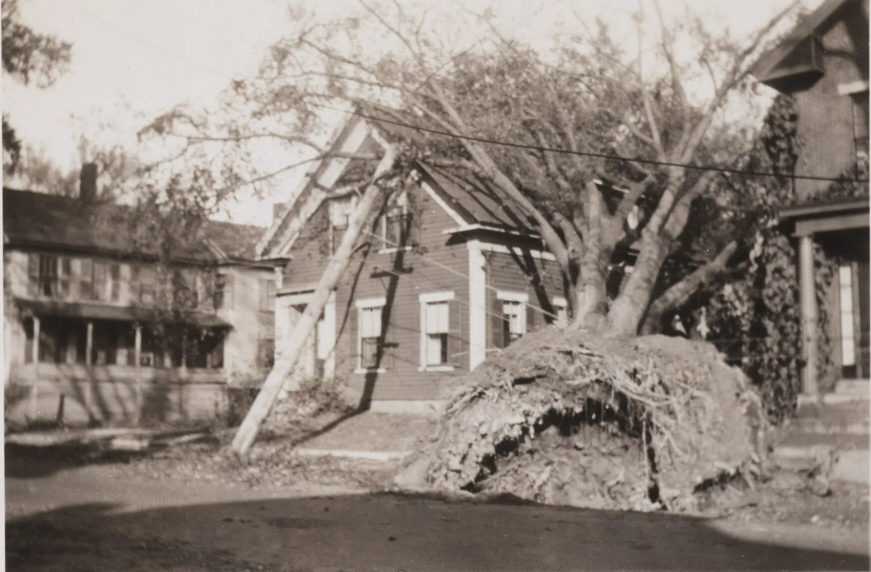
A black and white photograph of a large uprooted tree and power line, which rest against a two-storied house.
Large Tree Down After Hurricane
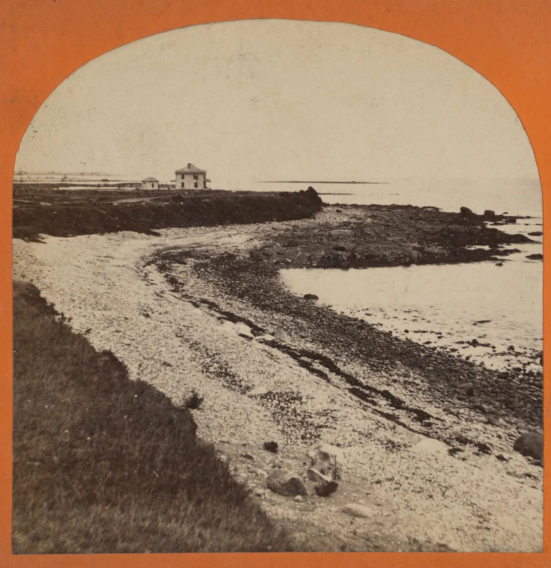
A black and white stereograph card with an image of a curved rocky beach. Above the beach is a raised grassy mound, and in the background, a two-storied house sits atop the raised mound.
Little Boar's Head Beach in Hampton
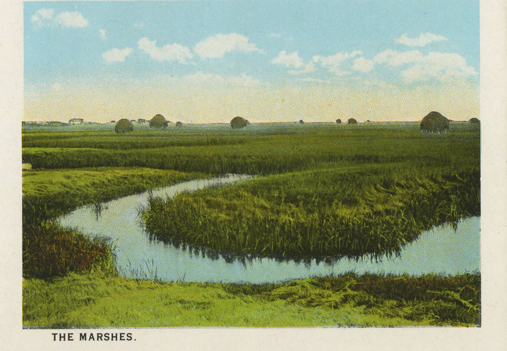
A colored postcard of green marshland, with a small stream of water running through it. The words "THE MARSHES" are typed in black ink in the lower left-hand corner of the postcard.
Marshes at Hampton Beach
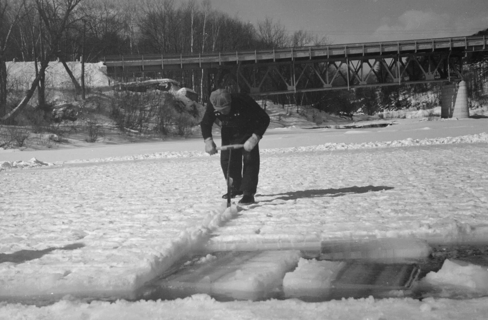
A black and white photograph of a man bent over a thin saw as he cuts through ice on a frozen body of water. In the forefront of the photograph, squares of cut ice float in the exposed water.
Measuring Ice Blocks
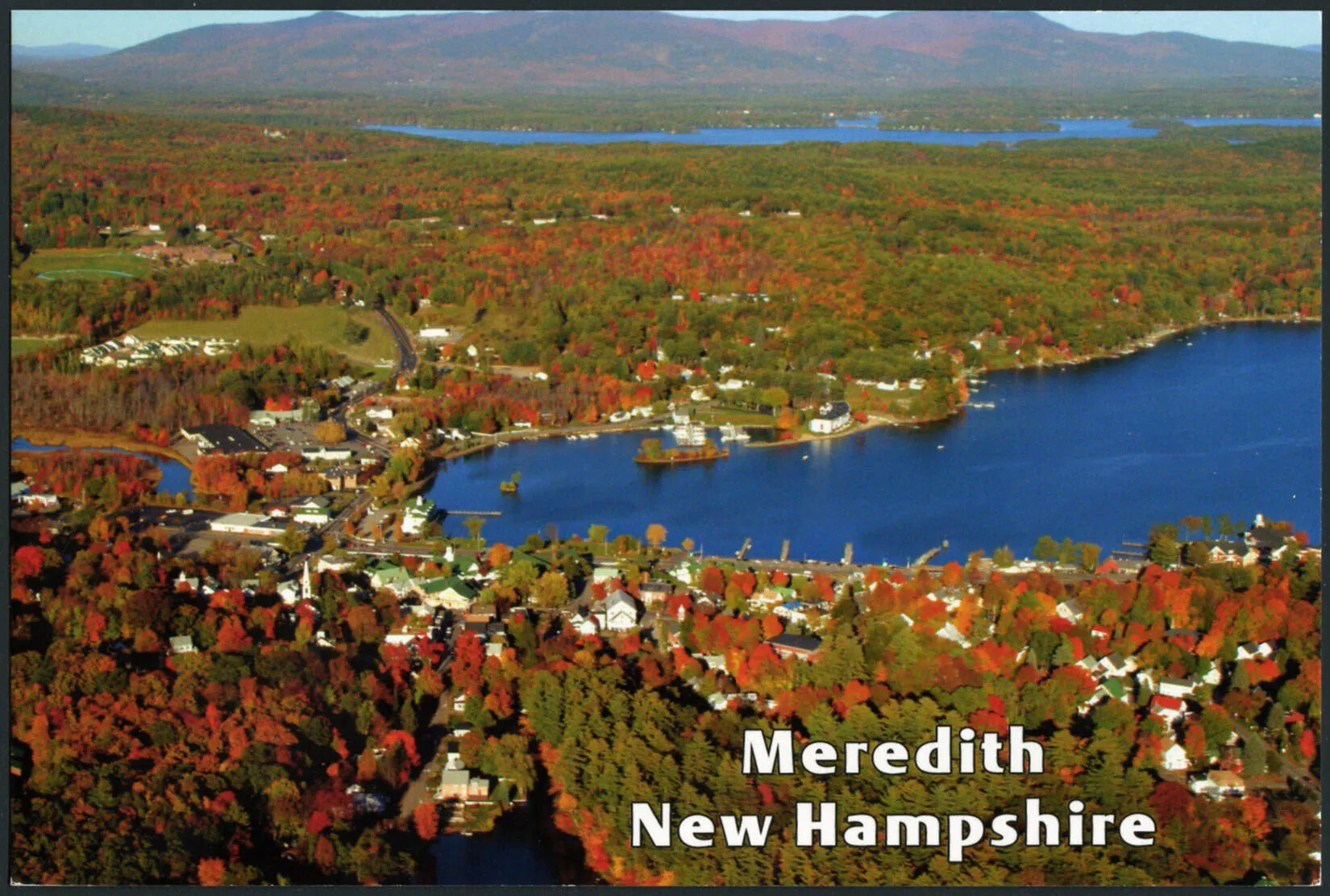
A colored horizontal postcard of a flat area of land covered with multi-colored trees. There are two bodies of water in the right-hand side of the postcard, one closer to the viewer, the other farther off in the background. There are tall mountains with multi-colored trees in the background. There are several white houses surrounding the body of water closest to the viewer. The title of the postcard, placed in the lower right-hand corner, reads "Meredith/New Hampshire."
Meredith in the Fall
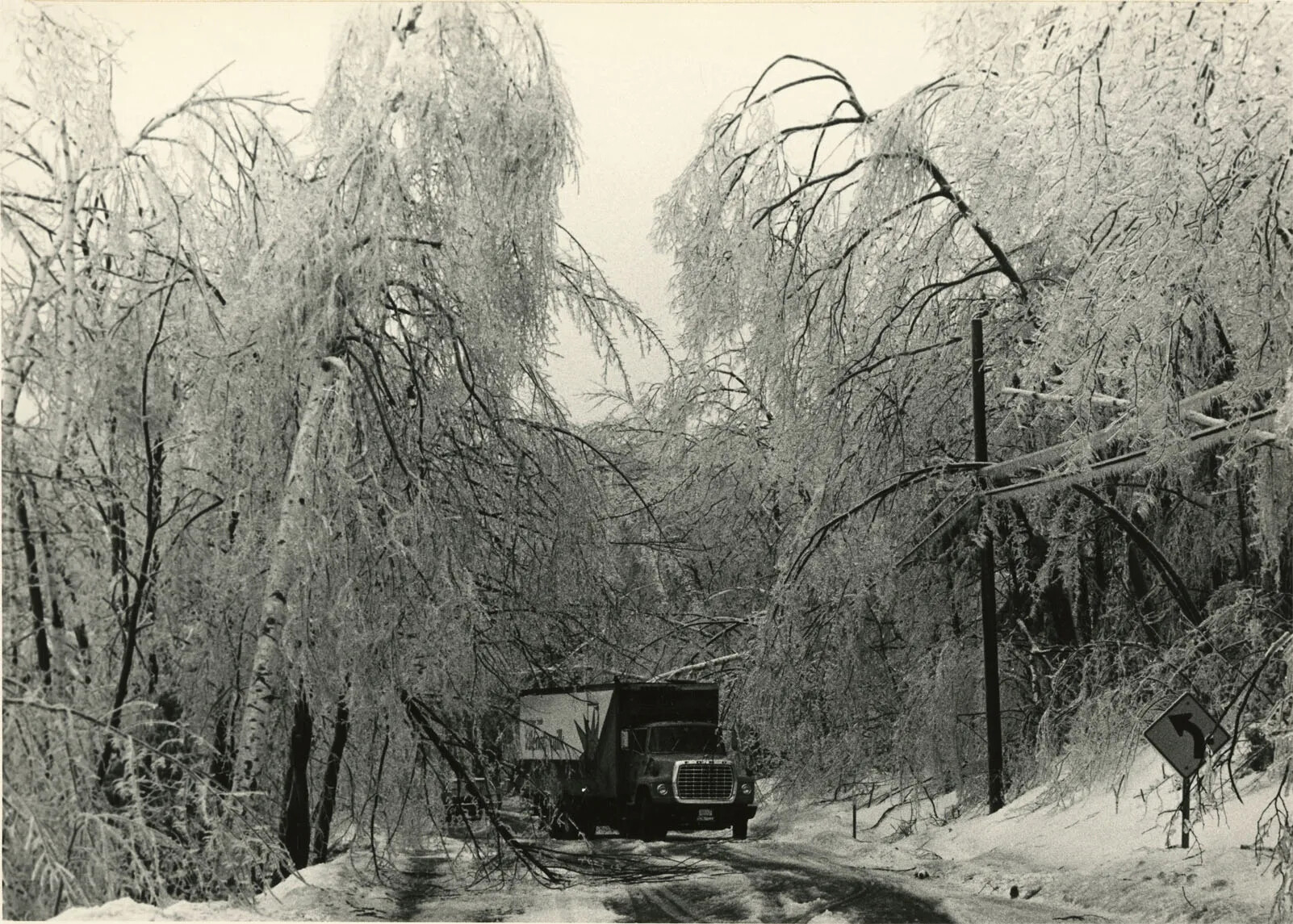
A black and white photograph of a truck driving along a road lined with ice-covered trees.
Milk Truck in Ice Tunnel
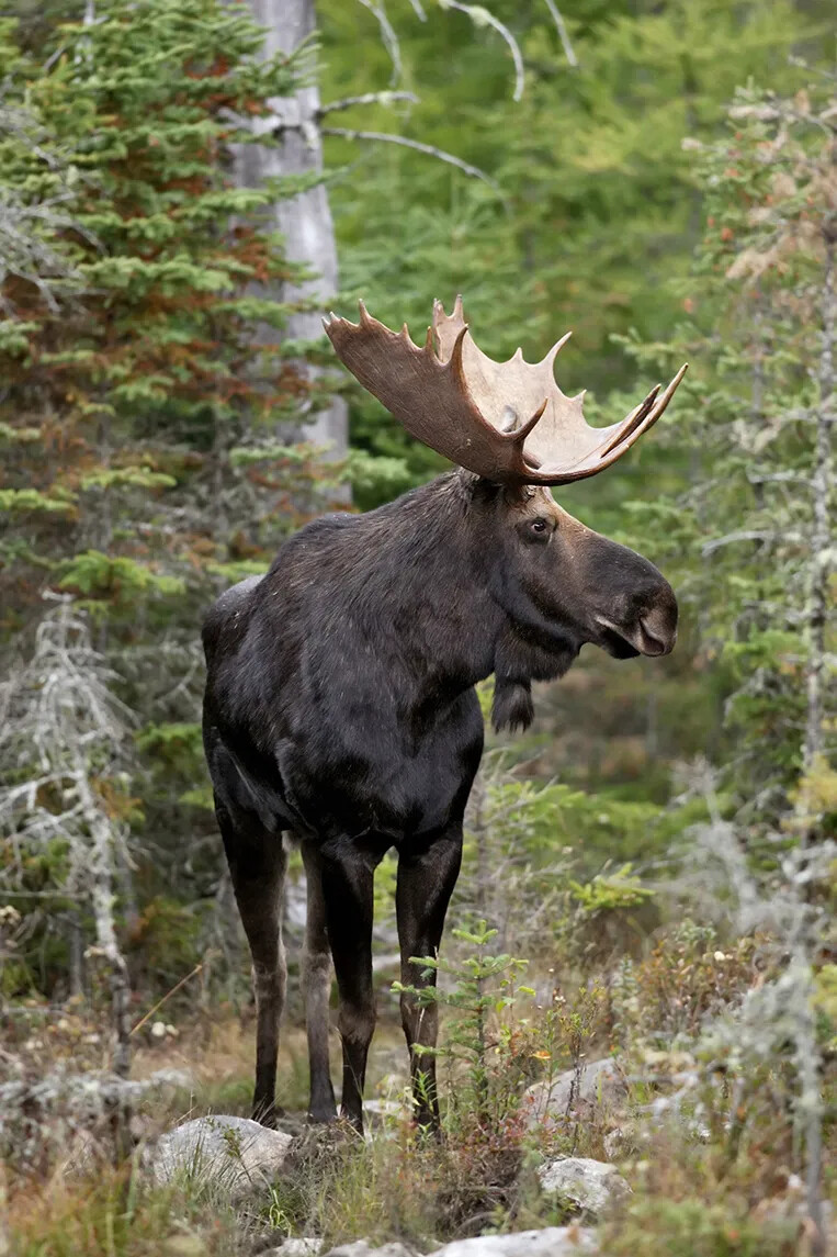
A colored photograph of a moose standing in a forest. The moose has dark brown fur and large, wide antlers.
Moose
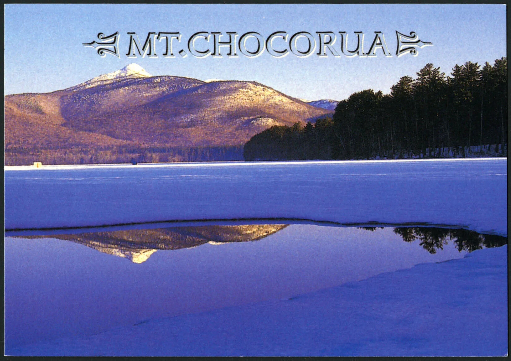
A colored horizontal postcard of an iced over body of water surrounded by snow and tree covered hills and mountains. The title of the postcard, placed in along the center of the upper border, reads "MT.CHOCORUA."
Mount Chocorua
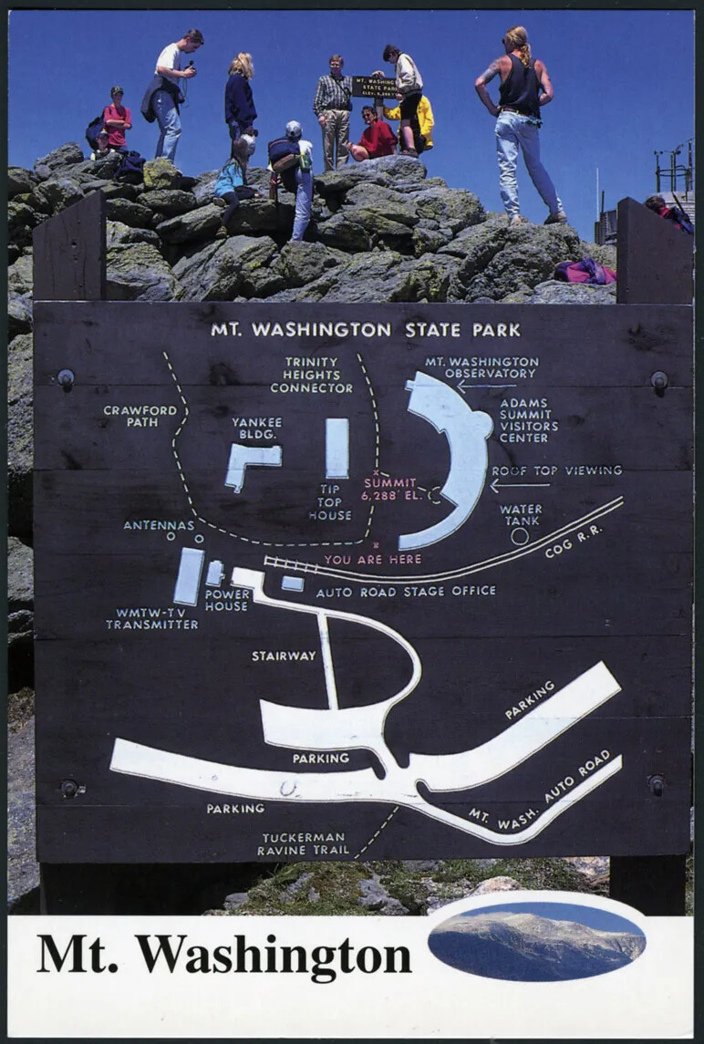
A colored vertical postcard of a large wooden sign with several drawings and text. The top of the sign reads "MT. WASHINGTON STATE PARK." Behind the sign is a tall pile of large rocks with nine adults standing at various levels on the rocks, facing away from the camera. The title of the postcard, placed along the center of the bottom border, reads "Mt. Washington." The the right of the titleis a oval-shaped photograph of a snow-covered mountain top.
Mount Washington State Park
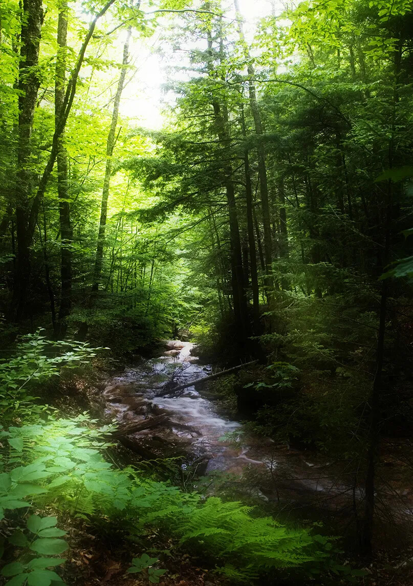
A colored photograph of a brook in a densely forested area. All of the trees and shrub surrounding the brook are different shades of green.
New Hampshire Forests
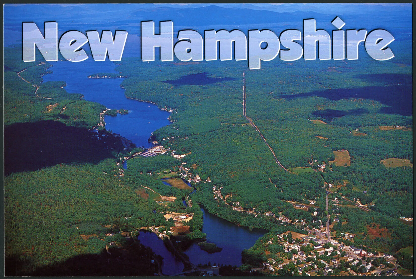
A colored horizontal postcard of an bird's-eye view of a large, flat green area, which is split by two long bodies of water. In the bottom right-hand corner is a town with lots of buildings and roads. The title of the postcard, which is centered along the upper border reads "New Hampshire."
New Hampshire Lakes
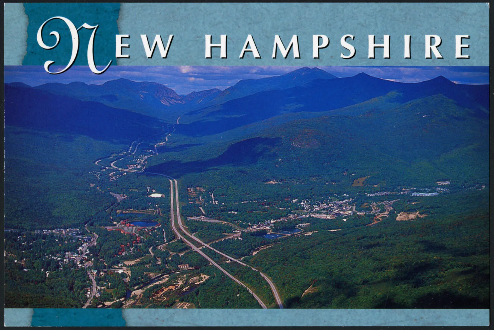
A colored horizontal postcard of a bird's-eye view of a road which stretches down the middle of a valley. The valley is surrounded by two ranges of green mountains. On either side of the road are towns with several buildings and small roads. The title of the postcard, centered along the upper border of the postcard, reads "NEW HAMPSHIRE."
New Hampshire Mountains
A colored photograph of a purple flowering bush, with green leaves.
New Hampshire's State Flower, Lilacs
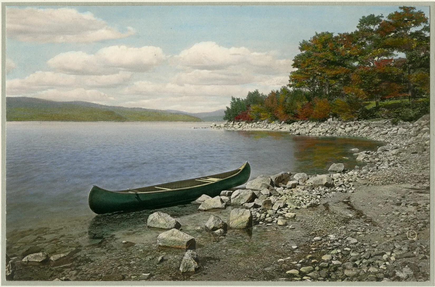
A colored drawing of a small body of water and a rocky shore. There are mountains with green and red trees in the background. At the forefront of the drawing is a large green canoe, which sits between the shore and the water.
Newfound Lake
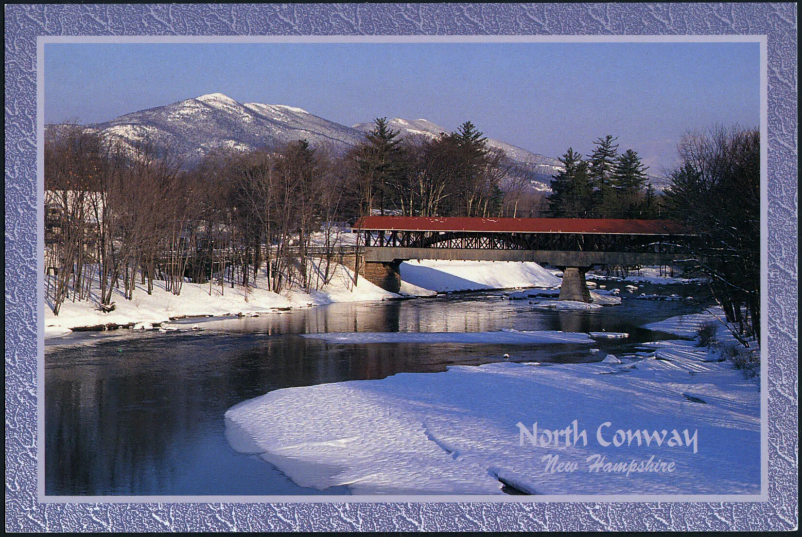
A colored horizontal postcard of a long body of water, a covered bridge with a red roof, and a snow-covered background in hthe background. The land on either side of the body of water is covered with bare trees and snow-covered ground. The title of the postcard, placed in the lower right-hand corner, reads "North Conway/New Hampshire."
North Conway in Winter
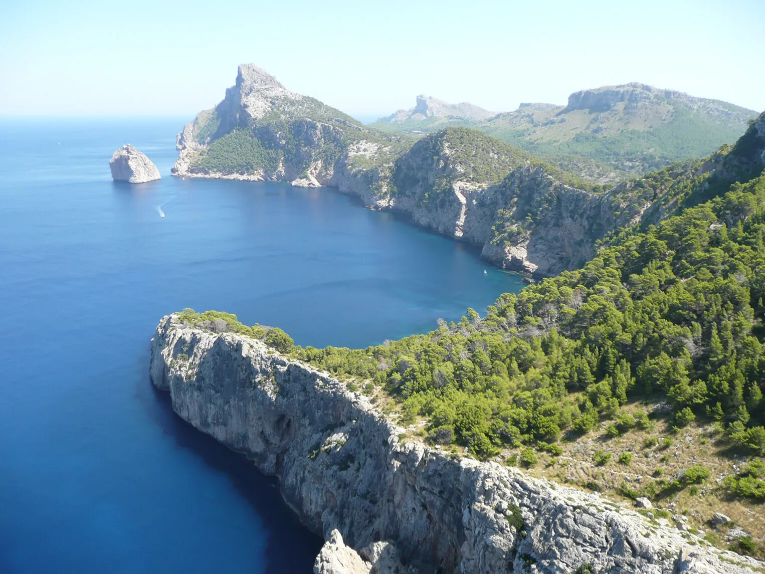
A colored photograph of tall mountain cliffs along a blue body of water. The mountains are gray and brown, and have green trees along the tops.
Physical Features
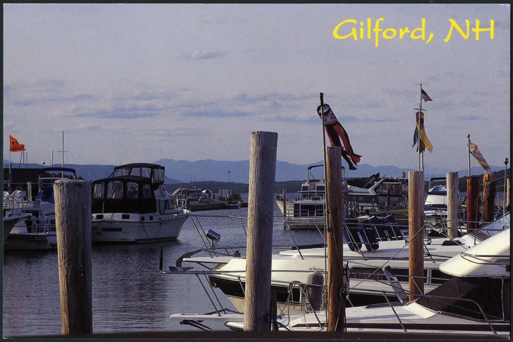
A colored horizontal postcard of a harbor with lots of boats parked at wooden docks. There are several circular flags placed on the tall dock posts. In the background are the outlines of mountains. The title of the postcard, placed in the upper right-hand corner, reads "Gilford, NH."
Pier in Gilford
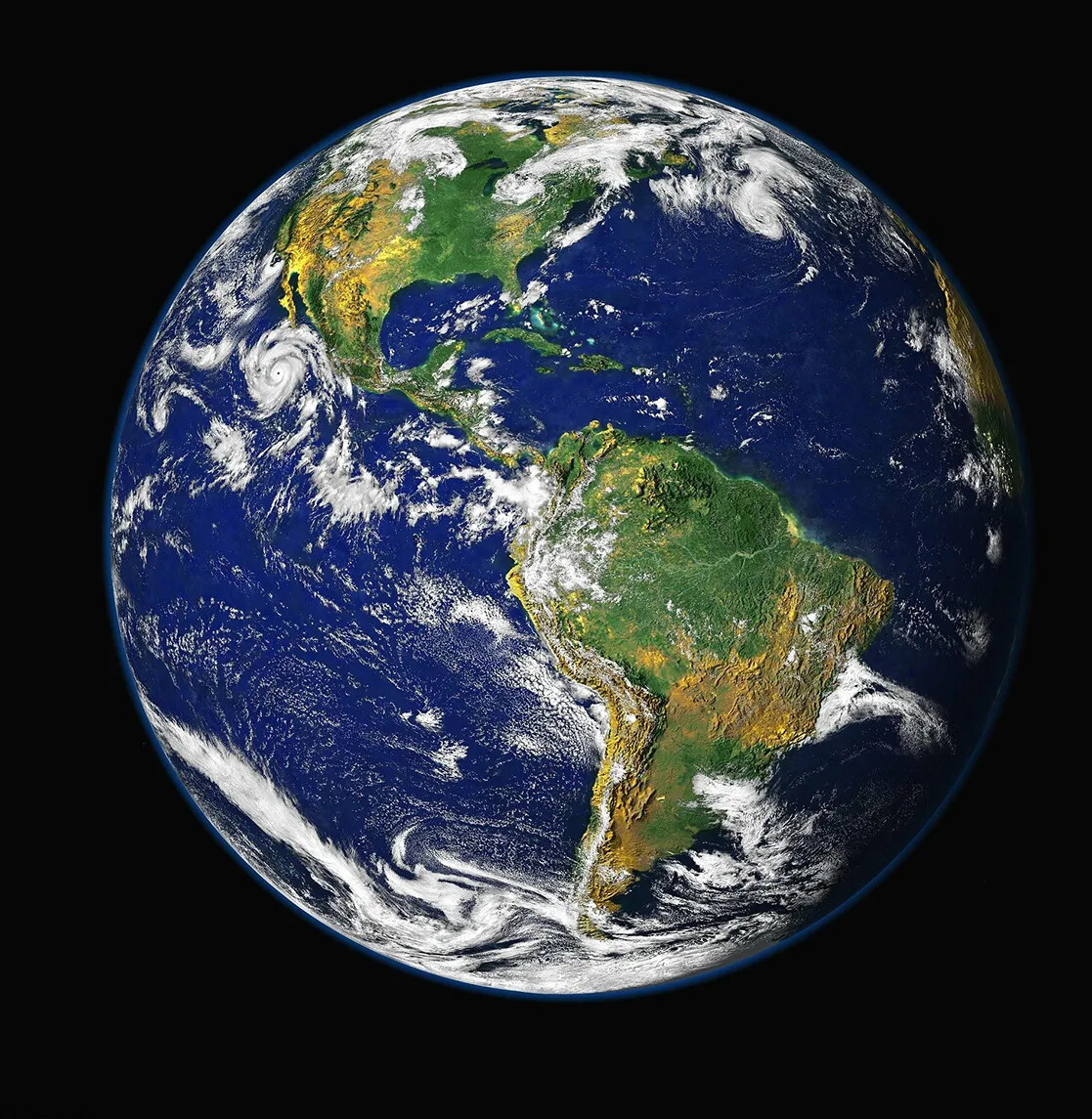
A colored photograph of the Earth, with the continents displayed in green and yellow, and the ocean in blue. Scattered across the Earth are white clouds in various versions of weather.
Planet Earth
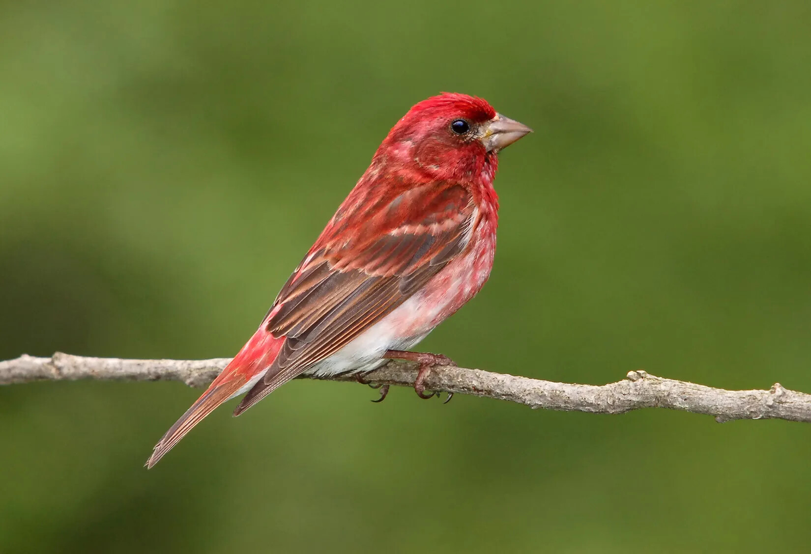
A colored photograph of a small bird with red feathers, sitting on a thin branch.
Purple Finch, the State Bird
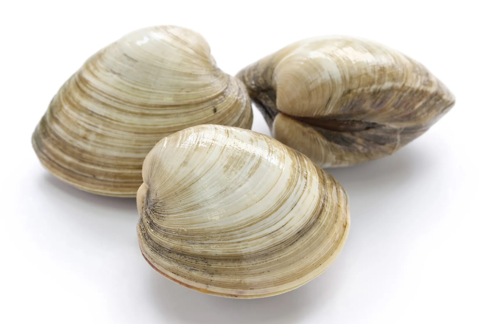
A colored photograph of three large, enclosed shells. The shells are white with thin stripes of brown.
Quahog (clam)
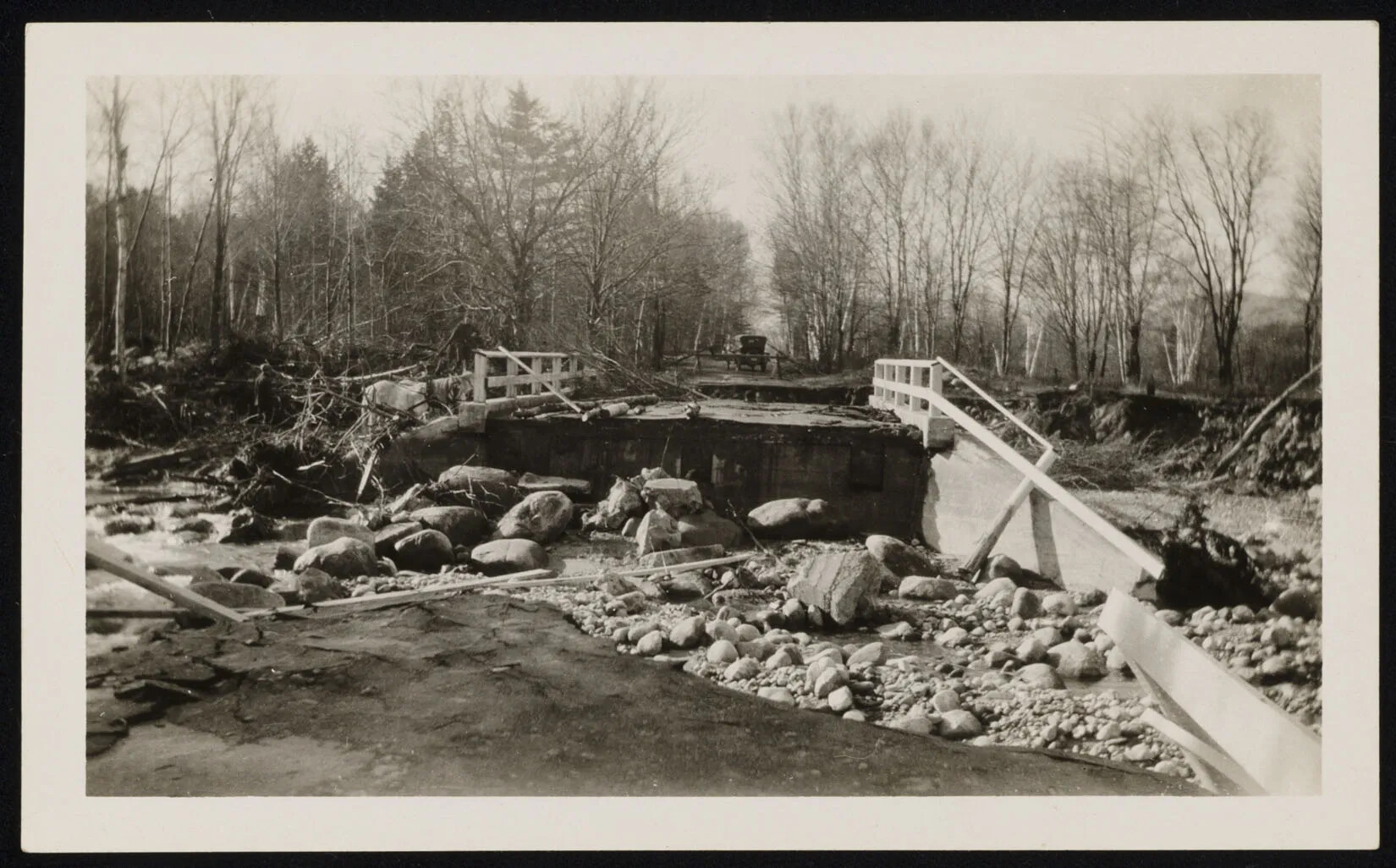
A black and white photograph of a collapsed bridge. The middle of the bridge is filled with large rocks. A truck is seen in the background stopped at a barrier.
Rattle River Bridge After Flood
A colored photograph of a spotted newt. The newt's orange body is covered with large and small black spots.
Red-Spotted Newt, the State Amphibian
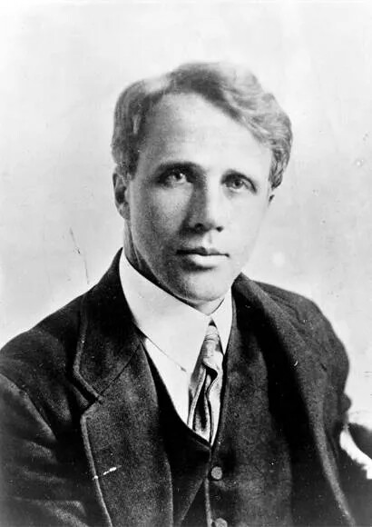
A black and white photograph of a man starring into the camera. He is dressed in a collared shirt, tie, vest, and suit jacket.
Robert Frost
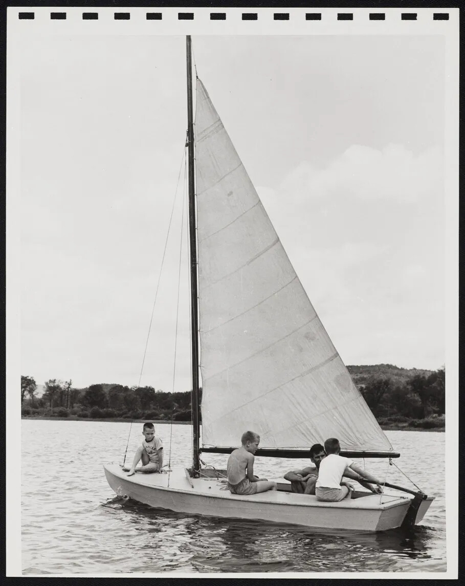
Four figures sail a small sailboat on a lake in a black and white photograph.
Sailing on New Hampshire’s Lakes
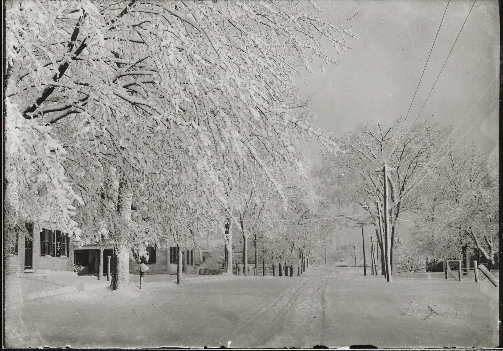
A black and white photograph of a road lined with houses, power lines, and trees, all covered in snow.
Snow Covered Trees
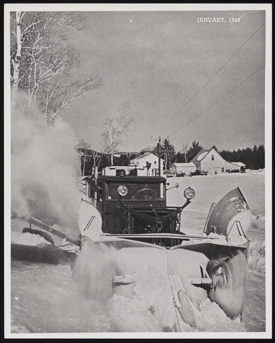
A black and white photograph of a truck with a large plow and headlights attached to its front. The truck is pushing snow out of the road, and a large cloud of snow shoots up from the truck's left. In the background, there are a couple of large houses. In the top right-hand corner, the words "JANUARY, 1948" are typed in white ink.
Snow Plowing
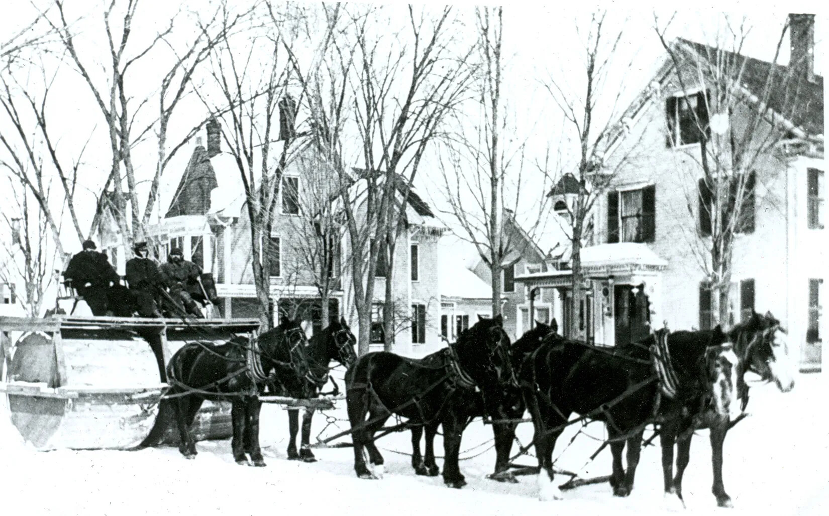
A black and white photograph of a group of people riding on a platform placed over two large, wide wheels. The wheels are pulled by a team of six horses. Behind the horses is a line of three-storied houses.
Snow Roller
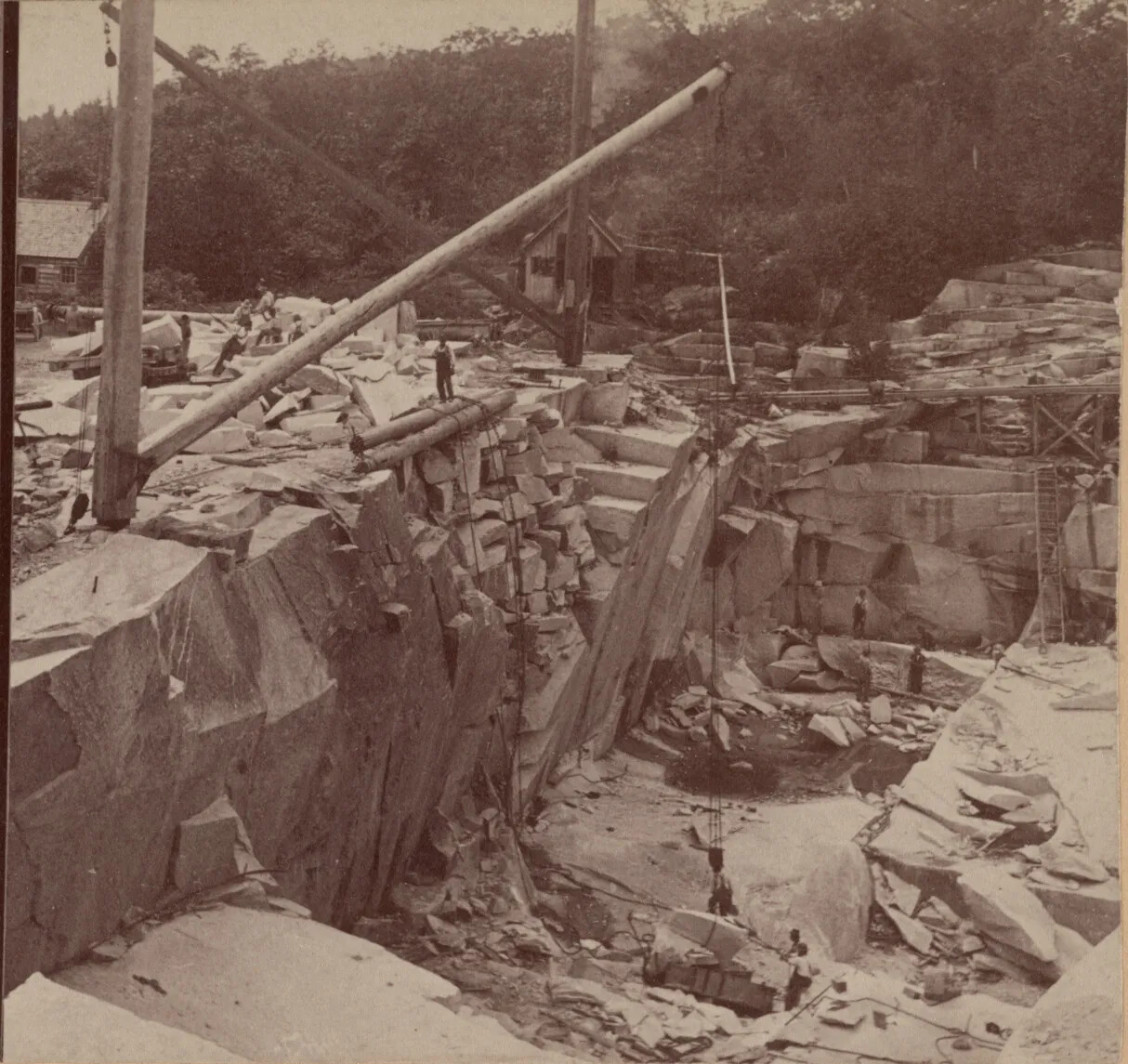
A black and white photograph of a large, rocky hole. The walls of the hole are made of jagged rocks. There are several men standing in and around the hole. In the left-hand corner of the photograph, there is a large wooden crane that dips into the hole. A long metal chain is attached to the crane and prepares to carry up a pile of stone.
Stone Quarries, New Hampshire
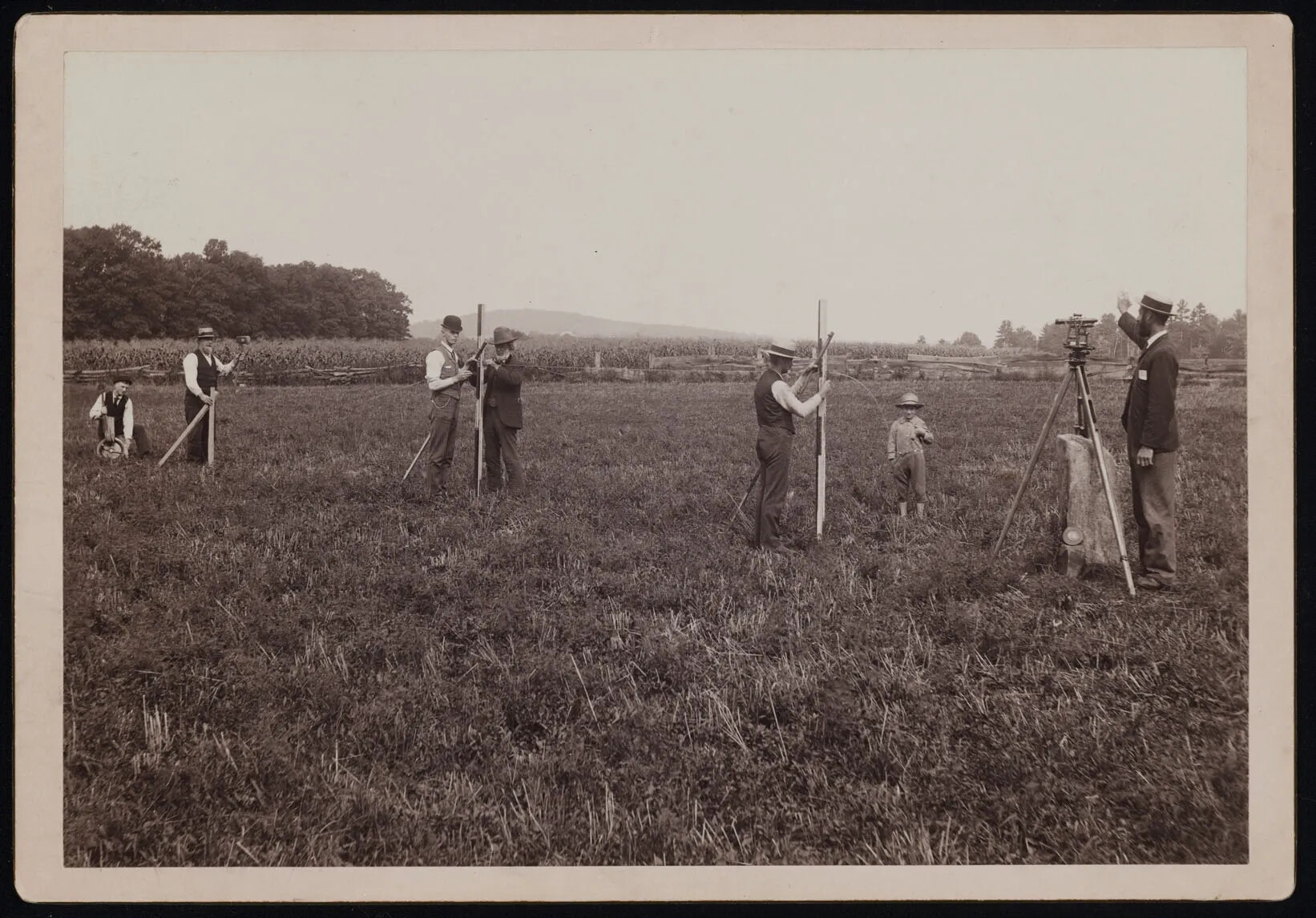
A black and white photograph of six men and one child, who are all using wooden tripods in a large, flat grassy field. Two tripods in the left-hand side of the photograph have two men standing at it, and two tripods on the right-hand side have one person standing at them. The child stands between the two men on the right side of the photograph.
Surveying the Boundary
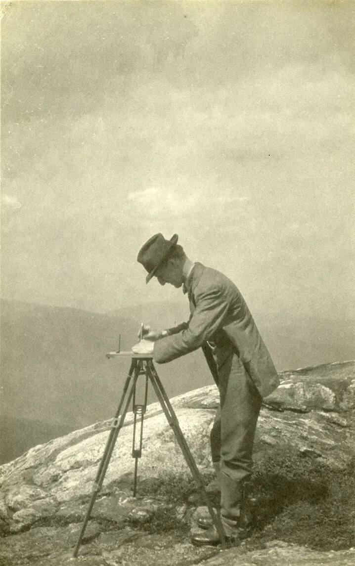
A black and white photograph of a man in a suit and hat using a tripod on top of a mountain. In the background are the outlines of other mountains in the area.
Surveying the Land
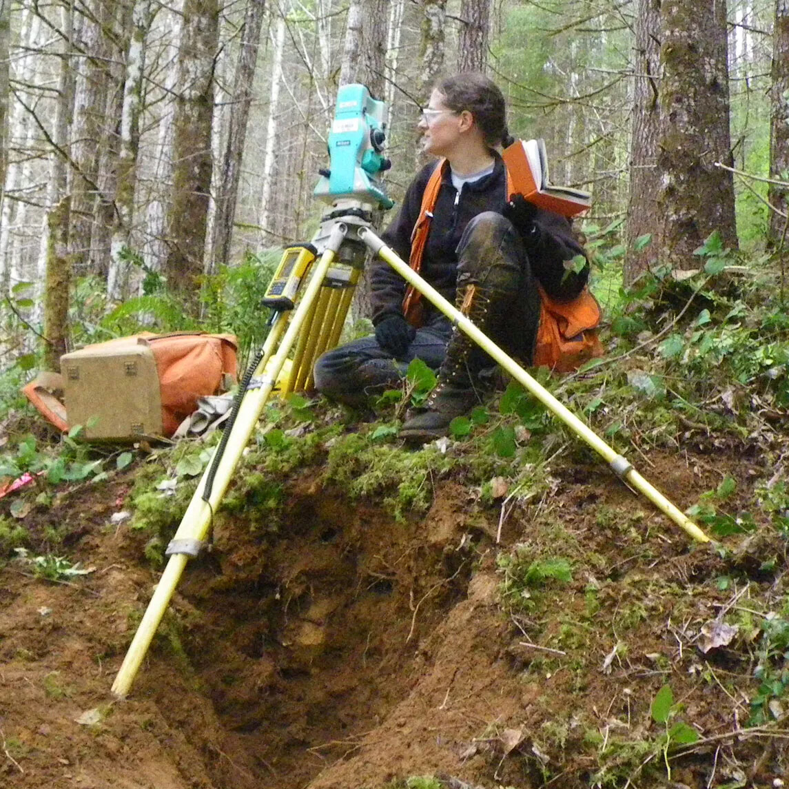
A colored photograph of a women wearing glasses and modern-day clothes sitting on a hill in a forest with a metal tripod. The women looks to the left and she holds an orange book in her right hand. To her left is a large orange backpack.
Surveyor in Woods
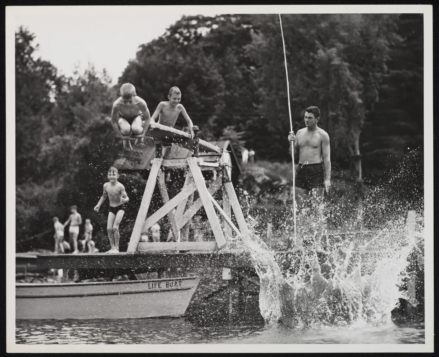
A black and white photograph of a group of boys on a dock with a diving board placed above a body of water. Someone has just jumped into the water, and there is a large splash of water in the right-hand corner of the photograph. Another boy is mid-air, with his knees pulled up against his chest. Behind him, another boy prepares to climb on top of the diving board. A man with a large pole stands to the right of the diving board and looks out onto the water.
Swimming and Diving at Camp
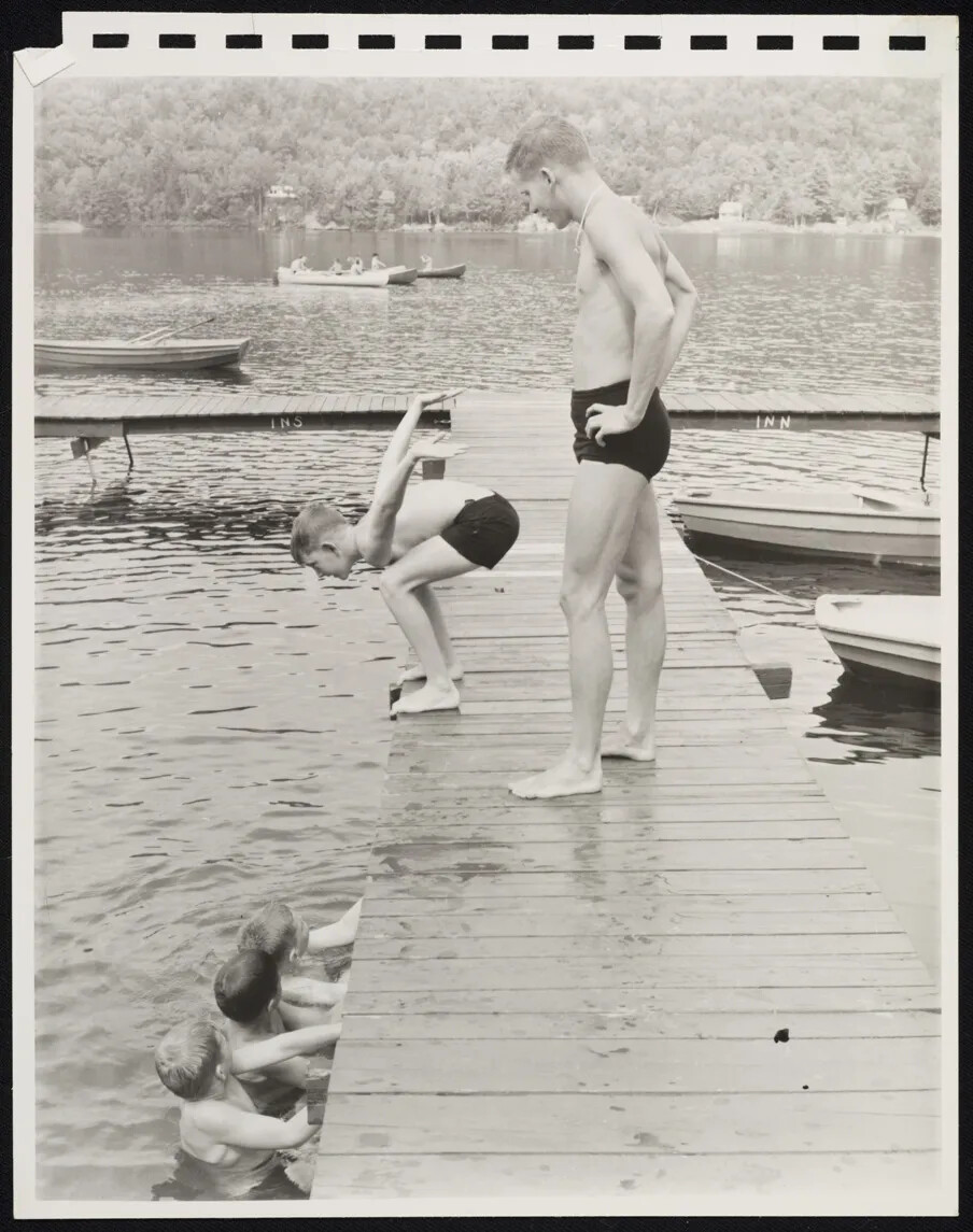
A black and white photograph of a group of boys swimming near a dock in a body of water. One boy prepares to jump from the dock, while a man standing on the dock watches on. Three boys wait in a line in the water to the left of the dock and all look at the boy about to jump. There are a couple of empty canoes that are tied to the dock.
Swimming at Camp
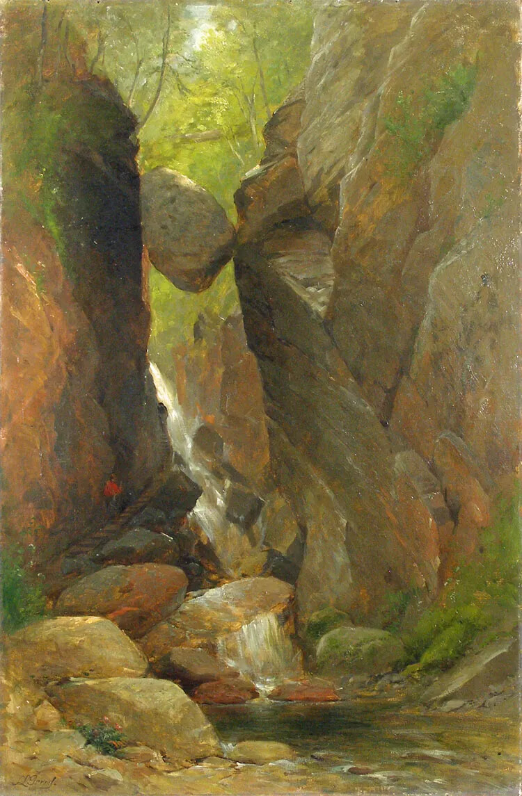
A colored painting of a boulder stuck between two walls of rock. Along the tops of the rock walls are a few trees. Beneath the boulder is a small waterfall and stream.
The Flume Painting
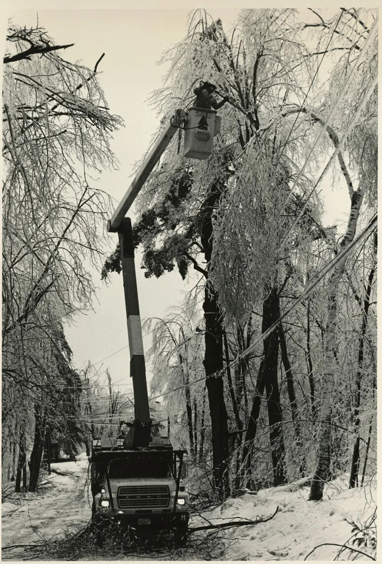
A black and white photograph of a truck parked along a snow-covered road, surrounded by snow and ice-covered trees. The truck has a large crane and lift. Inside the lift is a man bending near a broken tree branch.
Tree Service Company Trims Limbs
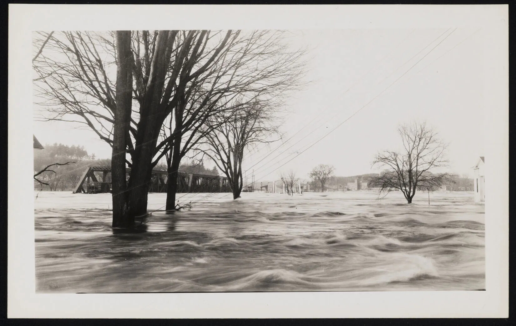
A black and white photograph of several trees and a bridge sunk deep in water.
Trees in Flood
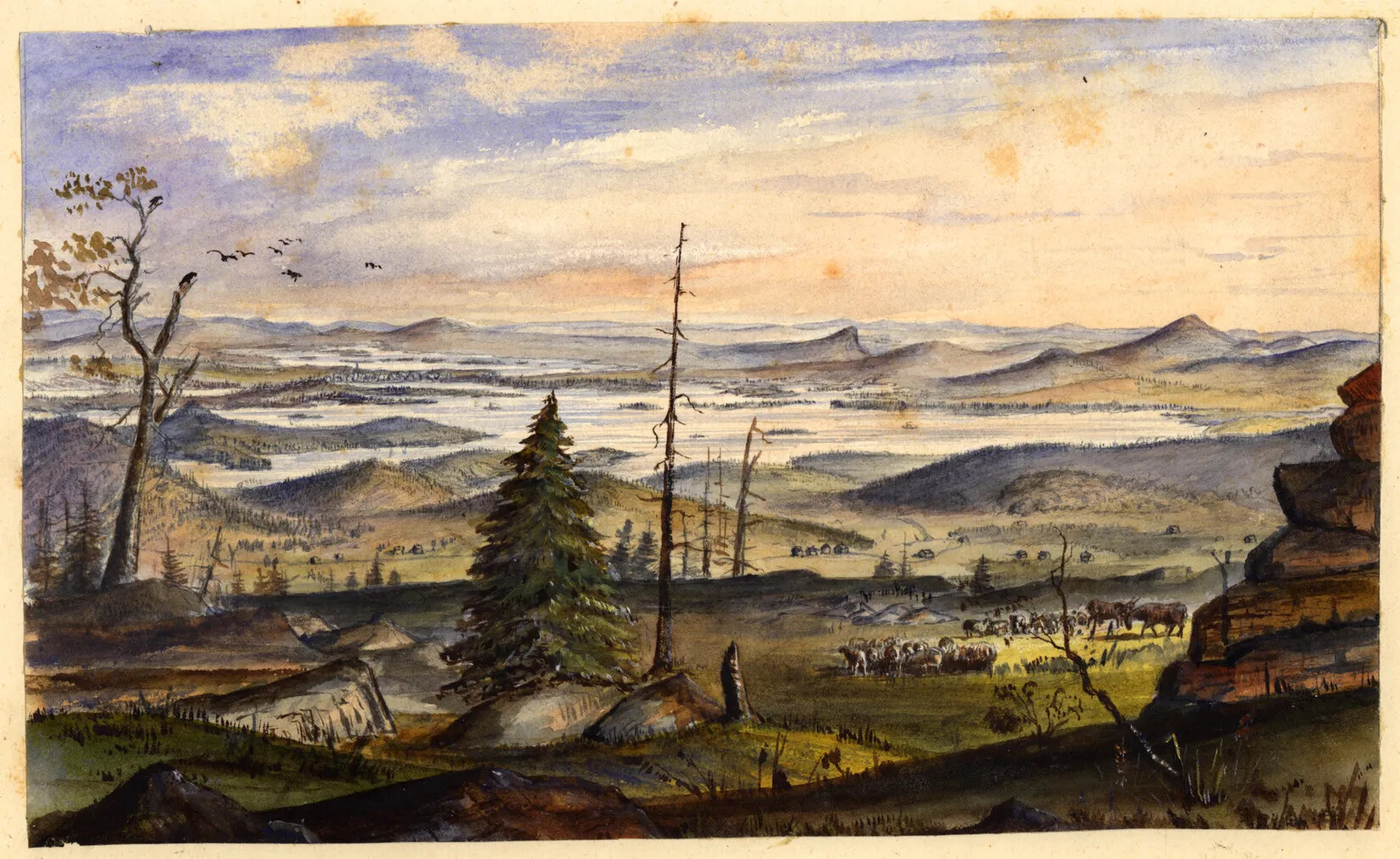
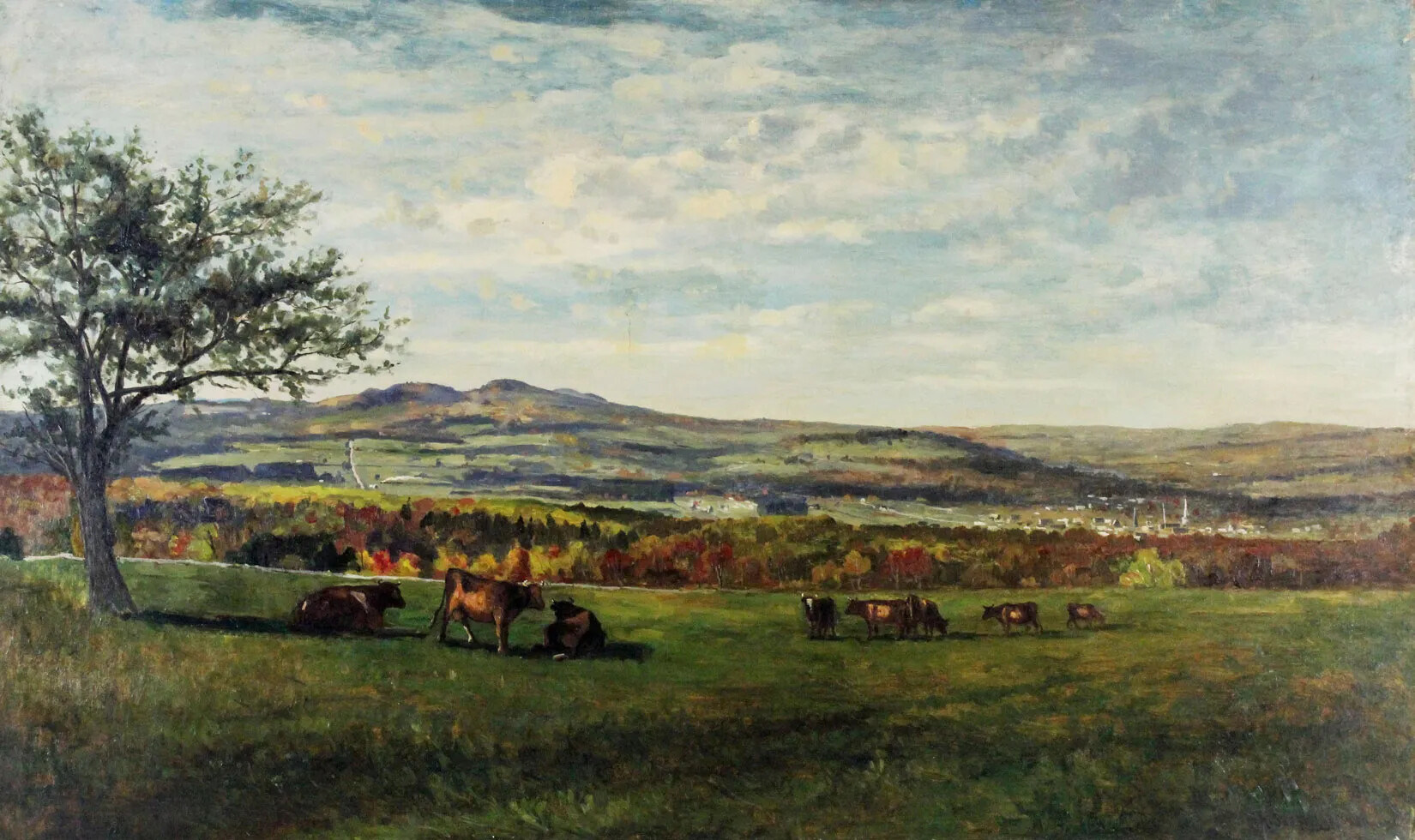
A colored painting of a large grassy area, with green and red trees and mountains in the background. On the grassy field are red and brown cows.
View from Lewis Nute Farm
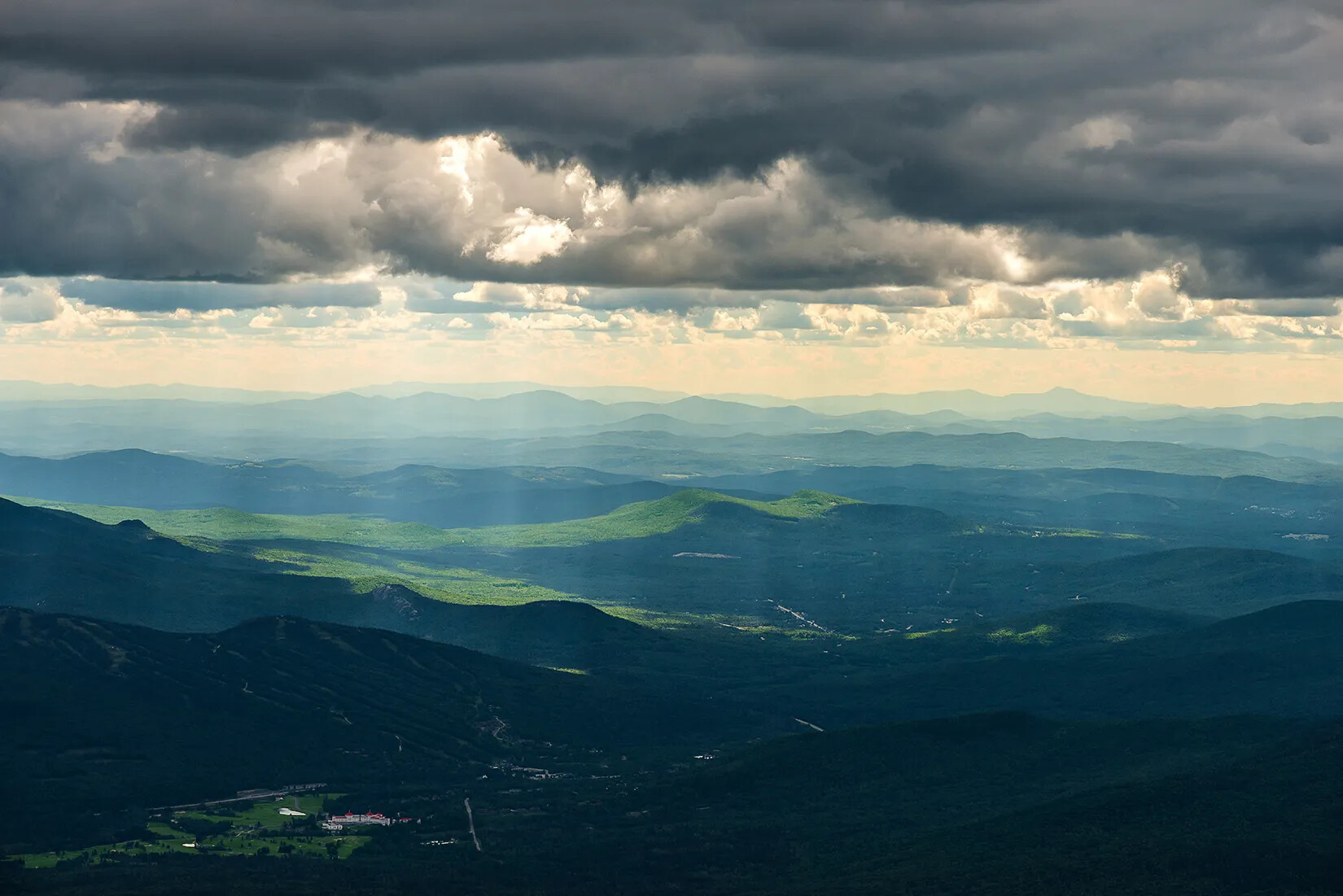
A colored photograph of a mountain range with dark gray clouds covering the upper border. Pockets of sunlight shine through the clouds down onto green spaces on the mountains.
Weather in New Hampshire
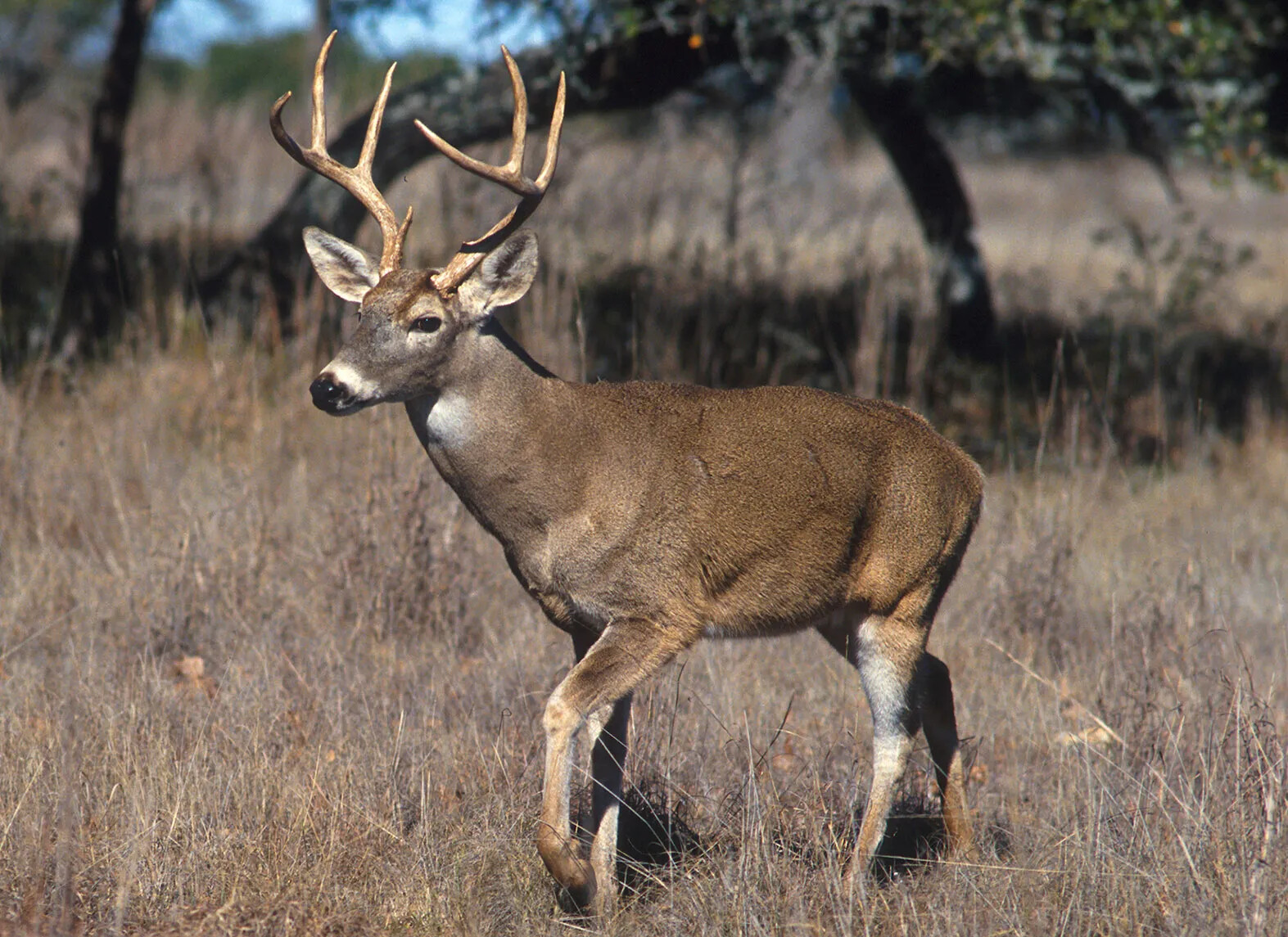
A colored photograph of a large deer. The deer has mostly brown fur, with some white fur on the face, ears, chest, and legs. The deer also has large, pointed antlers.
White-Tailed Deer, the State Animal
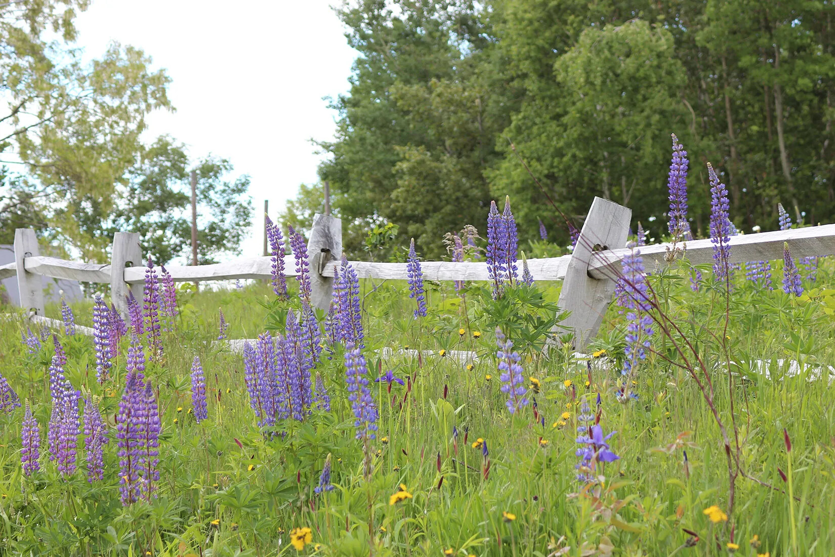
A colored photograph of tall purple flowers and short yellow flowers along a gray, wooden fence.
Wildflowers in a Field
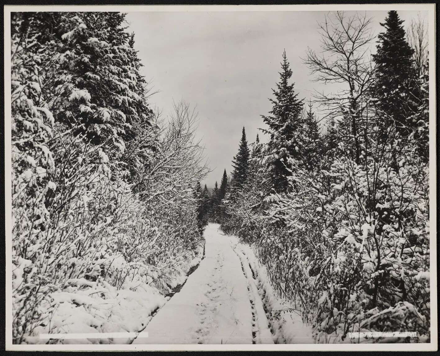
A black and white photograph of a narrow, snowy path. The path is lined with tall trees covered in snow.
Winter in New Hampshire